Overview
Humla is Nepal's north-western corner, and the Limi Valley is its far side — three Tibetan-speaking Buddhist villages, Til, Halji and Jang, sitting on a trade route to Tibet that yak caravans still work.
Seventeen days from Simikot, over the Nyalu La at 4,990 metres, camping almost throughout. Very few people go.
The route
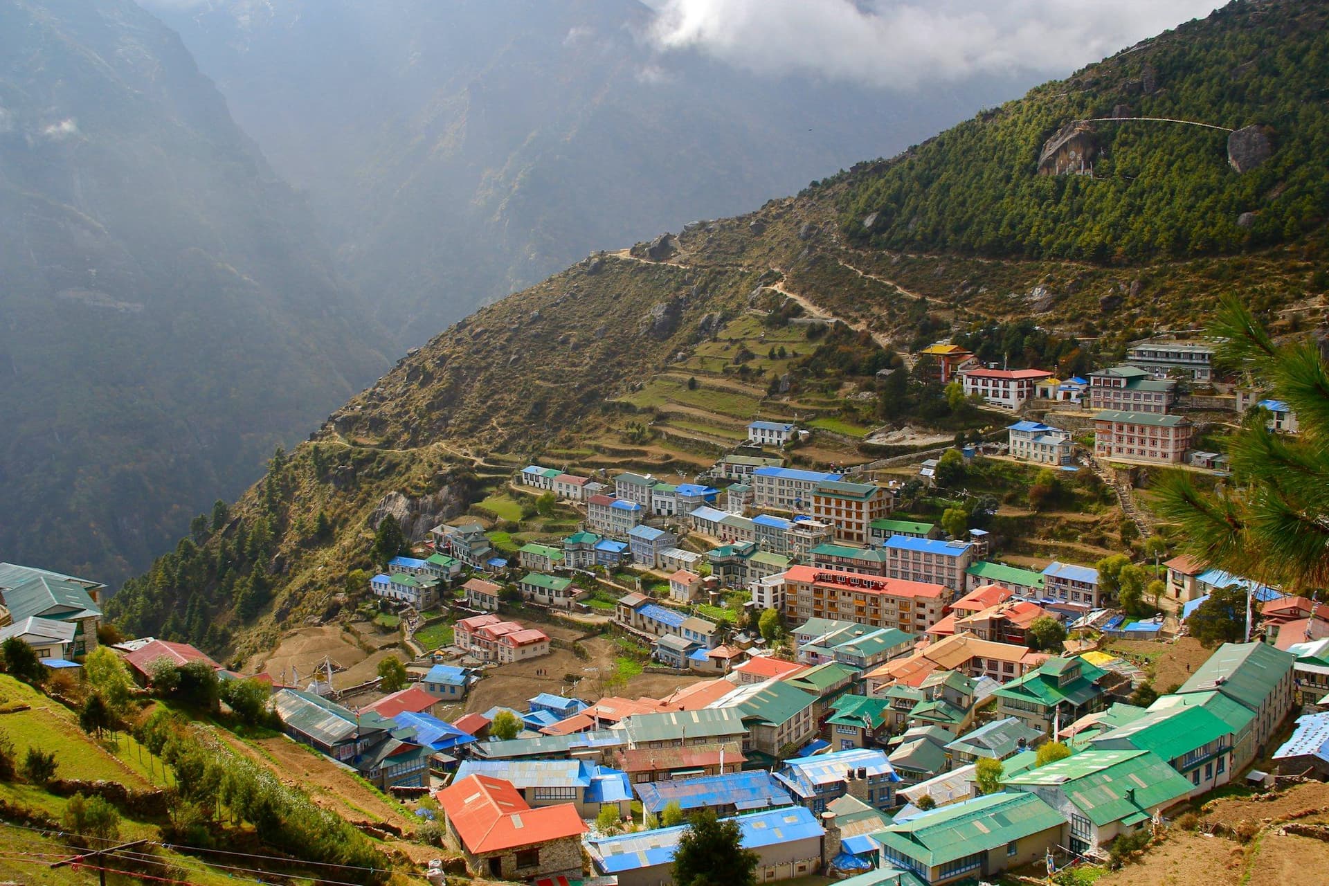
North from Simikot down to the Karnali and up its gorge past hot springs at Kermi, through Yalbang — with the large Namkha Khyung Dzong monastery — to Hilsa on the Tibetan border, where Kailash pilgrims cross.
Then east into Limi itself: Til, Halji with the eleventh-century Rinchenling Gompa, and Jang. Out over the Nyalu La, which on a clear day shows Mount Kailash to the north, and down past the Selima Tso lake.
The season is upside down
Humla sits mostly behind the main range, so it gets far less monsoon than central Nepal. May to September is the season; the Nyalu La is closed by snow outside it.
Getting there
Kathmandu to Nepalgunj, overnight, then a morning-only flight to Simikot on a hillside airstrip. Both legs cancel readily and backlogs clear slowly. Spare days at each end are not optional.
What to expect
Homestays in the three Limi villages and tents everywhere else. No lodges, no resupply, no quick evacuation. The reward is a valley that has changed less than almost anywhere else in the Himalaya, and a fortnight without meeting another trekking group.
Day by day
The 17 days itinerary
Distances, walking times, altitudes and accommodation for every stage — stored as structured data, not written into the prose.
- Day 1
Kathmandu to Nepalgunj
Kathmandu (1,400 m) → Nepalgunj (150 m)
- Walking
- 1 hour by air
- Altitude
- 1,400 m → 150 m
- Sleep
- Hotel, Nepalgunj
- Meals
- Dinner
- Day 2
Nepalgunj to Simikot
Nepalgunj (150 m) → Simikot (2,910 m)
- Walking
- 50 minutes by air
- Altitude
- 150 m → 2,910 m
- Sleep
- Camp, Simikot
- Meals
- Breakfast, lunch, dinner
A morning-only flight into a hillside airstrip. Cancellations are common and the backlog clears slowly, so a spare day here is not optional.
- Day 3
Simikot to Dharapori
Simikot (2,910 m) → Dharapori (2,400 m)
- Distance
- 14 km
- Walking
- 6 hours
- Altitude
- 2,910 m → 2,400 m
- Elevation
- −510 m
- Sleep
- Camp, Dharapori
- Meals
- Breakfast, lunch, dinner
- Karnali gorge
- Hindu Thakuri villages
- Day 4
Dharapori to Kermi
Dharapori (2,400 m) → Kermi (2,690 m)
- Distance
- 12 km
- Walking
- 5 hours
- Altitude
- 2,400 m → 2,690 m
- Elevation
- +290 m
- Sleep
- Camp, Kermi
- Meals
- Breakfast, lunch, dinner
- Hot springs
- First Buddhist village
- Day 5
Kermi to Yalbang
Kermi (2,690 m) → Yalbang (3,020 m)
- Distance
- 14 km
- Walking
- 6 hours
- Altitude
- 2,690 m → 3,020 m
- Elevation
- +330 m
- Sleep
- Camp, Yalbang
- Meals
- Breakfast, lunch, dinner
- Namkha Khyung Dzong monastery
- Day 6
Yalbang to Tumkot
Yalbang (3,020 m) → Tumkot (3,380 m)
- Distance
- 12 km
- Walking
- 5 hours
- Altitude
- 3,020 m → 3,380 m
- Elevation
- +360 m
- Sleep
- Camp, Tumkot
- Meals
- Breakfast, lunch, dinner
- Day 7
Tumkot to Yari
Tumkot (3,380 m) → Yari (3,700 m)
- Distance
- 13 km
- Walking
- 6 hours
- Altitude
- 3,380 m → 3,700 m
- Elevation
- +320 m
- Sleep
- Camp, Yari
- Meals
- Breakfast, lunch, dinner
- Day 8
Yari over Nara La toward Hilsa
Yari (3,700 m) → Nara La (4,620 m) → Hilsa (3,720 m)
- Distance
- 14 km
- Walking
- 7 hours
- Altitude
- 3,700 m → 3,720 m
- Elevation
- +920 m / −900 m
- Sleep
- Camp, Hilsa
- Meals
- Breakfast, lunch, dinner
Hilsa is the border crossing used by Kailash pilgrims. The bridge across the Karnali is the frontier.
- Nara La
- The Tibetan border at the Karnali bridge
- Day 9
Hilsa to Manepeme
Hilsa (3,720 m) → Manepeme (3,990 m)
- Distance
- 14 km
- Walking
- 6 hours
- Altitude
- 3,720 m → 3,990 m
- Elevation
- +470 m / −200 m
- Sleep
- Camp, Manepeme
- Meals
- Breakfast, lunch, dinner
- Day 10
Manepeme to Til
Manepeme (3,990 m) → Til (4,000 m)
- Distance
- 14 km
- Walking
- 6 hours
- Altitude
- 3,990 m → 4,000 m
- Elevation
- +400 m / −390 m
- Sleep
- Homestay, Til
- Meals
- Breakfast, lunch, dinner
- Til
- the first Limi village
- Day 11
Til to Halji
Til (4,000 m) → Halji (3,660 m)
- Distance
- 9 km
- Walking
- 4 hours
- Altitude
- 4,000 m → 3,660 m
- Elevation
- −340 m
- Sleep
- Homestay, Halji
- Meals
- Breakfast, lunch, dinner
Rinchenling at Halji is the oldest and most important monastery in Limi, founded in the eleventh century in the Kadampa tradition.
- Rinchenling Gompa
- around a thousand years old
- Day 12
Halji to Jang
Halji (3,660 m) → Jang (3,930 m)
- Distance
- 12 km
- Walking
- 5 hours
- Altitude
- 3,660 m → 3,930 m
- Elevation
- +270 m
- Sleep
- Homestay, Jang
- Meals
- Breakfast, lunch, dinner
- The third and last Limi village
- Day 13
Jang to Talung
Jang (3,930 m) → Talung (4,370 m)
- Distance
- 16 km
- Walking
- 7 hours
- Altitude
- 3,930 m → 4,370 m
- Elevation
- +440 m
- Sleep
- Camp, Talung
- Meals
- Breakfast, lunch, dinner
- Yak pastures
- Wild horses
- Day 14
Over the Nyalu La to Shinjungma
Talung (4,370 m) → Nyalu La (4,990 m) → Shinjungma (3,620 m)
- Distance
- 18 km
- Walking
- 9 hours
- Altitude
- 4,370 m → 3,620 m
- Elevation
- +620 m / −1370 m
- Sleep
- Camp, Shinjungma
- Meals
- Breakfast, lunch, dinner
The crux, and the one day that can show Kailash away to the north across the border. A long descent past Selima Tso afterwards.
- Nyalu La at 4
- 990 m
- Mount Kailash on a clear day
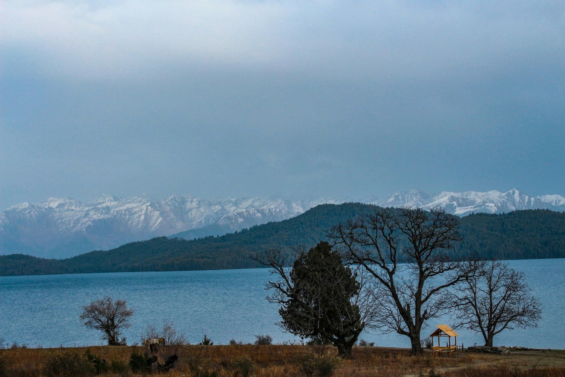
- Selima Tso lake
- Day 15
Shinjungma to Kermi
Shinjungma (3,620 m) → Kermi (2,690 m)
- Distance
- 14 km
- Walking
- 6 hours
- Altitude
- 3,620 m → 2,690 m
- Elevation
- −930 m
- Sleep
- Camp, Kermi
- Meals
- Breakfast, lunch, dinner
- Day 16
Kermi to Simikot
Kermi (2,690 m) → Simikot (2,910 m)
- Distance
- 14 km
- Walking
- 6 hours
- Altitude
- 2,690 m → 2,910 m
- Elevation
- +520 m / −300 m
- Sleep
- Camp, Simikot
- Meals
- Breakfast, lunch, dinner
- Day 17
Simikot to Nepalgunj and Kathmandu
Simikot (2,910 m) → Nepalgunj → Kathmandu (1,400 m)
- Walking
- 2 hours by air, with a connection
- Altitude
- 2,910 m → 1,400 m
- Meals
- Breakfast
Route map
Where the trail goes
Route line, start and end points, and every overnight stop. Locations are shared entities — the same record powers the destination and itinerary pages.
Frequently asked questions
What does the Humla permit cost?
Can you see Mount Kailash?
Why walk it in summer?
Is there a lodge network?
What is the salt trade route?
About the author
Tom Eriksen
Gear editor & photographer
Tom tests trekking equipment the only way that produces honest answers: by carrying it for weeks at a time above 4,000 metres. He shoots most of the photography on this site and writes the gear reviews, comparison tables and packing lists.
Writes about: Trekking gear · Photography · Packing and weight