Overview
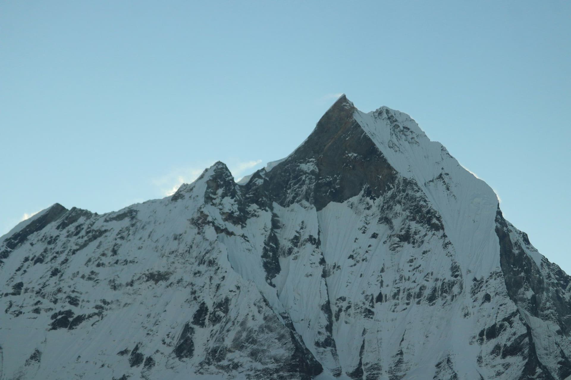
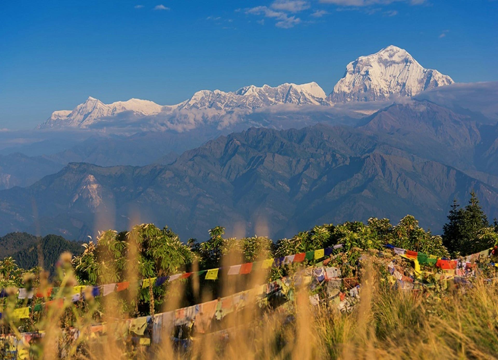
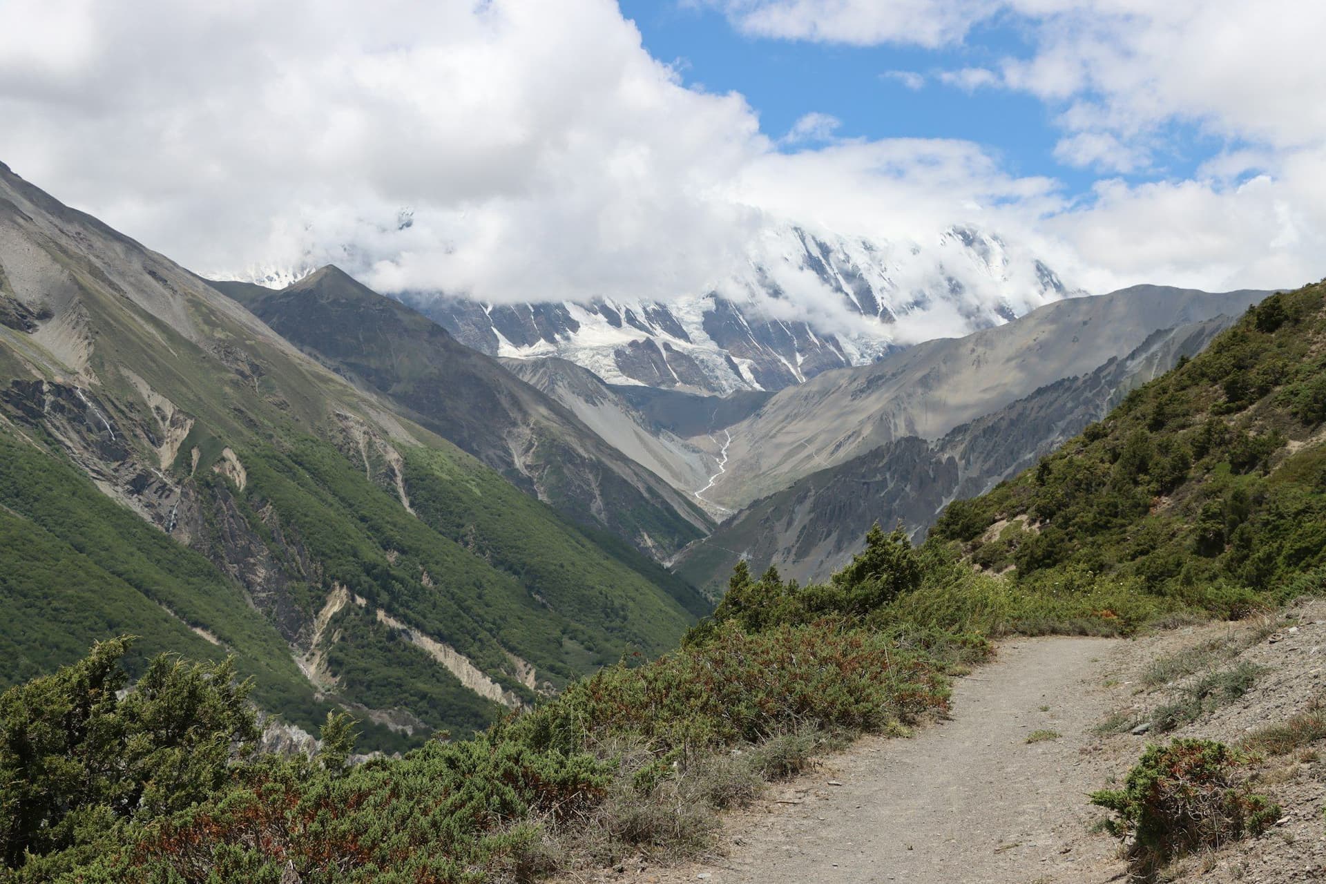
The Annapurna Conservation Area covers 7,629 square kilometres and contains more trekking variety than any comparable area in the Himalaya. In the south, routes climb through terraced farmland and rhododendron forest to viewpoints at 3,200 metres. In the north, beyond the main range, the country turns dry and Tibetan — Manang, Mustang, apricot orchards and wind.
Choosing a route
Poon Hill (4–5 days) is the short introduction, with the best return on time of any trek in Nepal. Annapurna Base Camp (10–12 days) walks into the heart of the massif through a gorge that opens into a glacial amphitheatre. The Annapurna Circuit (12–18 days) crosses the range itself at Thorong La and delivers the widest range of landscape and culture of any route in the country.
Permits
Every route in the region requires an ACAP entry permit and a TIMS card, both issued in Kathmandu or Pokhara. Upper Mustang and Nar Phu are restricted areas needing separate, considerably more expensive permits and a licensed guide.
Trekking
Treks in the Annapurna Region
Locations
Places in this region
Guides
Planning guides
Itineraries
Itineraries covering this region
Itinerary
7 Days in Nepal — A First Week
One week, no rushing: the Kathmandu Valley's three cities, a flight to Pokhara, and two days walking in the foothills with the Annapurnas in view.
Nepal7 daysComfort
Itinerary
14 Days in Nepal — Kathmandu, Pokhara and the Annapurnas
The best two-week first trip to Nepal: three days in the Kathmandu Valley, a five-day trek in the Annapurnas, and enough slack that a delayed bus does not ruin the plan.
Nepal14 daysMid-range
Map
The region
Read & watch
From the Annapurna Region
Frequently asked questions
Has the road ruined the Annapurna Circuit?
Which Annapurna trek is best for a first-timer?
About the author
Maya Thapa
Senior trekking writer
Maya has walked more than 4,000 kilometres of Nepal's trail network, from the teahouse highways of the Khumbu to the restricted valleys along the Tibetan border. She writes the route guides and day-by-day itineraries, and returns to most trails every second season to re-check lodge availability, water points and trail reroutes after monsoon damage.
Writes about: Nepal trekking · High-altitude routes · Teahouse logistics