Overview
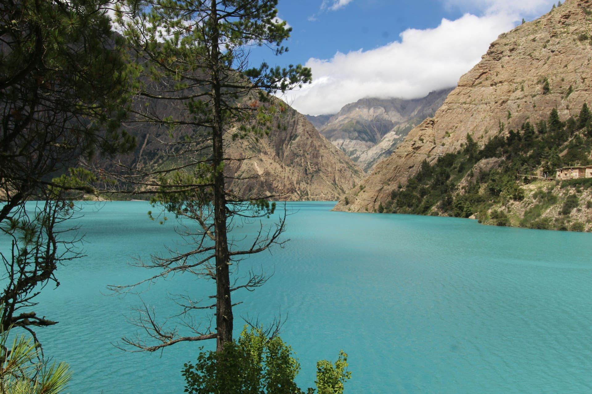
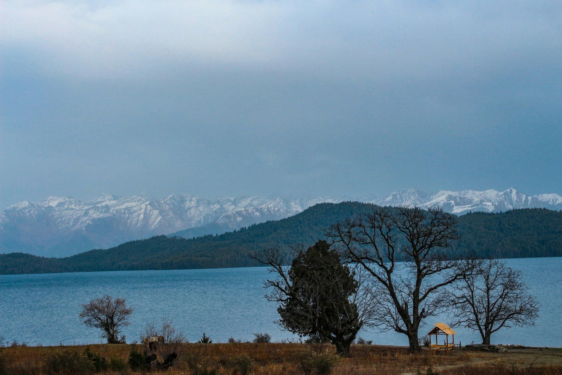
Rara is the largest lake in Nepal — 10.8 square kilometres at 2,990 metres, inside the country's smallest national park. It is ringed by blue pine, black juniper and Himalayan spruce, and in a good year a few hundred foreign trekkers see it.
Nine days, no pass above 3,450 metres, no restricted permit, and no altitude risk. What keeps people away is entirely the flights.
The route
From Jumla — where the terraced rice at 2,300 metres is among the highest grown anywhere — over the Ghurchi Lagna at 3,450 m and down to Sinja, capital of the Khasa Malla kingdom in the twelfth to fourteenth centuries and the place the Nepali language traces back to.
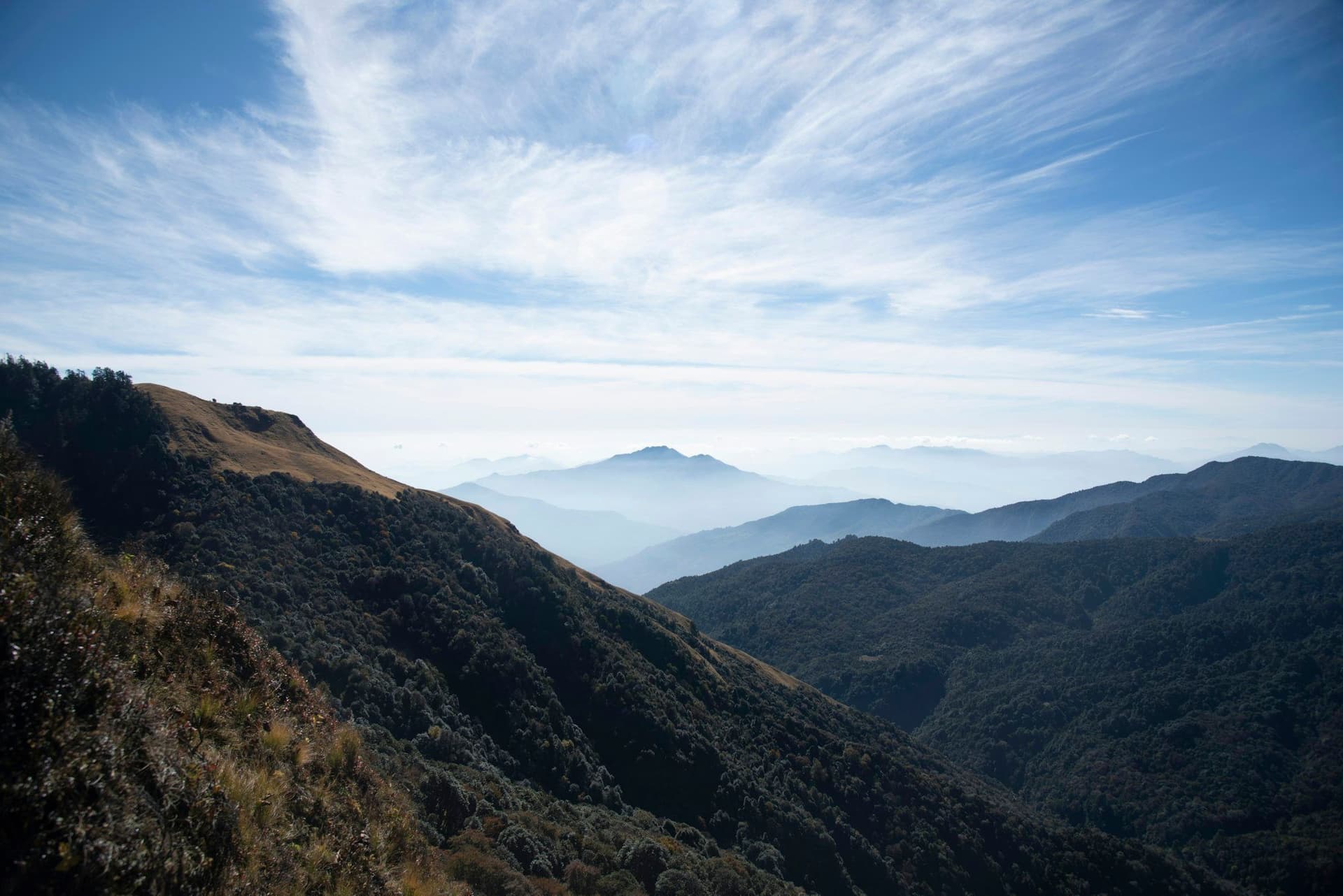
Then north to the lake, a day walking its circuit and up Murma Top at 3,730 m for the view over it, and out to the airstrip at Talcha.
The park
Rara National Park was gazetted in 1976 and two villages inside it were relocated, which is why the forest is as intact as it is. Red panda, Himalayan black bear, musk deer and around 240 bird species.
Why so few people
There is no permit obstacle and no altitude problem. There is a Kathmandu–Nepalgunj flight, an overnight, and then a small aircraft to Jumla or Talcha — all of which cancel. That is the whole reason.
If you want the easiest genuinely remote trek in Nepal, this is it.
Best season
April to early June for rhododendron and the wildflower meadows, and September to November for the clearest air over the lake. Winter closes Talcha regularly. The monsoon is walkable but the flights are not reliable.
Day by day
The 9 days itinerary
Distances, walking times, altitudes and accommodation for every stage — stored as structured data, not written into the prose.
- Day 1
Kathmandu to Nepalgunj
Kathmandu (1,400 m) → Nepalgunj (150 m)
- Walking
- 1 hour by air
- Altitude
- 1,400 m → 150 m
- Sleep
- Hotel, Nepalgunj
- Meals
- Dinner
- Day 2
Nepalgunj to Jumla
Nepalgunj (150 m) → Jumla (2,370 m)
- Walking
- 45 minutes by air
- Altitude
- 150 m → 2,370 m
- Sleep
- Guesthouse, Jumla
- Meals
- Breakfast, lunch, dinner
- Jumla bazaar
- Terraced rice at 2
- 300 m — among the highest in the world
- Day 3
Jumla to Chere Chaur
Jumla (2,370 m) → Chere Chaur (3,055 m)
- Distance
- 11 km
- Walking
- 5 hours
- Altitude
- 2,370 m → 3,055 m
- Elevation
- +685 m
- Sleep
- Camp, Chere Chaur
- Meals
- Breakfast, lunch, dinner
- Pine forest
- Open meadow camp
- Day 4
Chere Chaur to Chalachaur
Chere Chaur (3,055 m) → Chalachaur (2,800 m)
- Distance
- 14 km
- Walking
- 6 hours
- Altitude
- 3,055 m → 2,800 m
- Elevation
- +400 m / −655 m
- Sleep
- Camp, Chalachaur
- Meals
- Breakfast, lunch, dinner
- Day 5
Chalachaur over Ghurchi Lagna to Sinja
Chalachaur (2,800 m) → Ghurchi Lagna (3,450 m) → Sinja (2,440 m)
- Distance
- 17 km
- Walking
- 7 hours
- Altitude
- 2,800 m → 2,440 m
- Elevation
- +650 m / −1010 m
- Sleep
- Camp, Sinja
- Meals
- Breakfast, lunch, dinner
Sinja was the capital of the Khasa Malla kingdom from the twelfth to the fourteenth century, and the Khas language spoken here is the direct ancestor of modern Nepali.
- Ghurchi Lagna pass
- Sinja
- capital of the Khasa Malla kingdom
- Day 6
Sinja to Rara Lake
Sinja (2,440 m) → Rara Lake (2,990 m)
- Distance
- 18 km
- Walking
- 7 hours
- Altitude
- 2,440 m → 2,990 m
- Elevation
- +700 m / −150 m
- Sleep
- Camp or park guesthouse, Rara
- Meals
- Breakfast, lunch, dinner
- First sight of the lake
- Blue pine and juniper
- Day 7
Rara Lake — circuit and Murma Top
Rara Lake (2,990 m) → Murma Top (3,730 m) → Rara Lake
- Distance
- 16 km
- Walking
- 6 hours
- Altitude
- 2,990 m → 2,990 m
- Elevation
- +740 m / −740 m
- Sleep
- Camp or park guesthouse, Rara
- Meals
- Breakfast, lunch, dinner
The lake circuit is about ten kilometres on the flat. Murma Top above it gives the view of the whole lake with the Himalaya behind on a clear day.
- Murma Top viewpoint
- The full lake circuit
- Red panda and musk deer country
- Day 8
Rara to Talcha
Rara Lake (2,990 m) → Talcha (2,700 m)
- Distance
- 12 km
- Walking
- 4 hours
- Altitude
- 2,990 m → 2,700 m
- Elevation
- −290 m
- Sleep
- Guesthouse, Talcha
- Meals
- Breakfast, lunch, dinner
- Day 9
Talcha to Nepalgunj and Kathmandu
Talcha (2,700 m) → Nepalgunj → Kathmandu (1,400 m)
- Walking
- 2 hours by air, with a connection
- Altitude
- 2,700 m → 1,400 m
- Meals
- Breakfast
Route map
Where the trail goes
Route line, start and end points, and every overnight stop. Locations are shared entities — the same record powers the destination and itinerary pages.
Frequently asked questions
How big is Rara?
Do you need a restricted permit?
How hard is it?
What is the wildlife?
When should you go?
About the author
Maya Thapa
Senior trekking writer
Maya has walked more than 4,000 kilometres of Nepal's trail network, from the teahouse highways of the Khumbu to the restricted valleys along the Tibetan border. She writes the route guides and day-by-day itineraries, and returns to most trails every second season to re-check lodge availability, water points and trail reroutes after monsoon damage.
Writes about: Nepal trekking · High-altitude routes · Teahouse logistics