The wind starts at eleven, every day, without exception. In Kagbeni you can set your watch by it: a still morning, a rising rattle in the poplars, and then five hours of it funnelling up the Kali Gandaki with enough force to lean on.
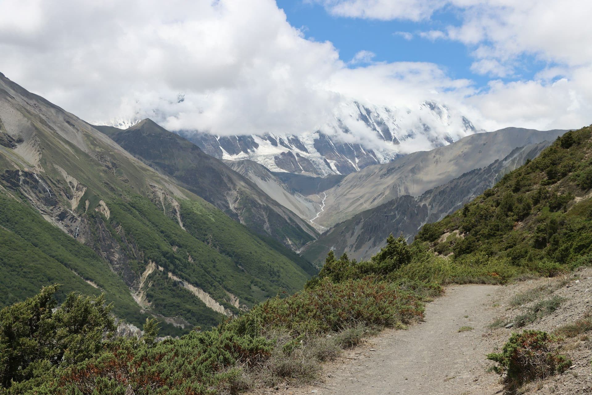
This is the first thing you learn walking north into Mustang. The second is that you are now behind the Himalaya rather than in front of it. The great wall of Dhaulagiri and Annapurna, which we had spent three days walking towards, was now between us and the monsoon, and had wrung every gram of water out of the air before it reached us. It was August. In Pokhara it had been raining for eleven weeks.
Behind the range
The landscape reads as geology rather than scenery. Cliffs of compacted river sediment, hundreds of metres high, striped ochre and grey and eroded into columns. Caves cut into the faces — thousands of them, some of them three thousand years old, most of them still unexplained.
Between the cliffs, villages appear as sudden green: barley, poplars, a whitewash of chortens, and irrigation channels doing precise and ancient work. Everything in Mustang exists because someone moved water to it.
Lo Manthang
The walled city has about a hundred and fifty houses inside it and four monasteries, and until 2008 it had a king. Nepal abolished the monarchy that year, and with it the Kingdom of Lo, which had been more or less independent since 1380.
We arrived in late afternoon with the wind finally dropping. From the roof of the guesthouse, the city was a pale block on a brown plain with the Tibetan plateau behind it — no trees, no gradient, nothing between here and the border but distance.
Walking a rain shadow
The permit for Upper Mustang costs US$500 for ten days and US$50 a day thereafter, and requires a licensed guide and a minimum of two trekkers. It is the most expensive walking in Nepal by a wide margin.
It is also the only part of the country that makes complete sense to visit in July and August, which is when I would go again.
Photographs
From the road
About the author
Maya Thapa
Senior trekking writer
Maya has walked more than 4,000 kilometres of Nepal's trail network, from the teahouse highways of the Khumbu to the restricted valleys along the Tibetan border. She writes the route guides and day-by-day itineraries, and returns to most trails every second season to re-check lodge availability, water points and trail reroutes after monsoon damage.
Writes about: Nepal trekking · High-altitude routes · Teahouse logistics