Travel Story
Walking Through the Himalayas
A slow account of the Everest Base Camp trail in November — the cold, the glacier noise, and what actually stays with you afterwards.
Everest Region · Nepal
Author
Senior trekking writer
Maya has walked more than 4,000 kilometres of Nepal's trail network, from the teahouse highways of the Khumbu to the restricted valleys along the Tibetan border. She writes the route guides and day-by-day itineraries, and returns to most trails every second season to re-check lodge availability, water points and trail reroutes after monsoon damage.
Writes about: Nepal trekking · High-altitude routes · Teahouse logistics
33 pieces by Maya Thapa
Travel Story
A slow account of the Everest Base Camp trail in November — the cold, the glacier noise, and what actually stays with you afterwards.
Everest Region · Nepal
Travel Story
Upper Mustang was a closed kingdom until 1992 and still requires a restricted permit. Walking to Lo Manthang in August, while the rest of Nepal drowns.
Annapurna Region · Nepal
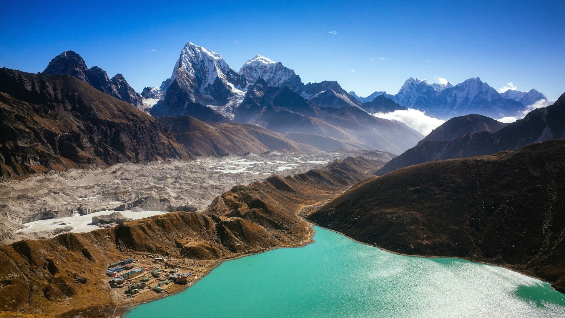
Trek
The full Khumbu circuit: Kongma La, Cho La and Renjo La, plus Base Camp, Kala Patthar and the Gokyo lakes. Twenty days, three 5,300 m-plus passes, and the most complete way to see the Everest region.
Everest Region · Nepal20 daysStrenuous5,545 m
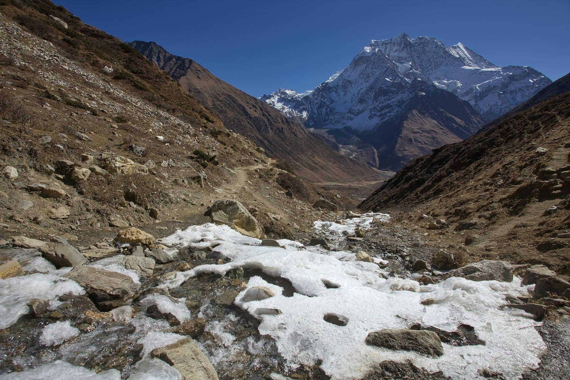
Trek
A full circuit of the world's eighth-highest mountain, crossing the Larke La at 5,106 m. Restricted, permitted, guided — and as a result, close to what the Annapurna Circuit felt like thirty years ago.
Manaslu Region · Nepal14 daysChallenging5,106 m
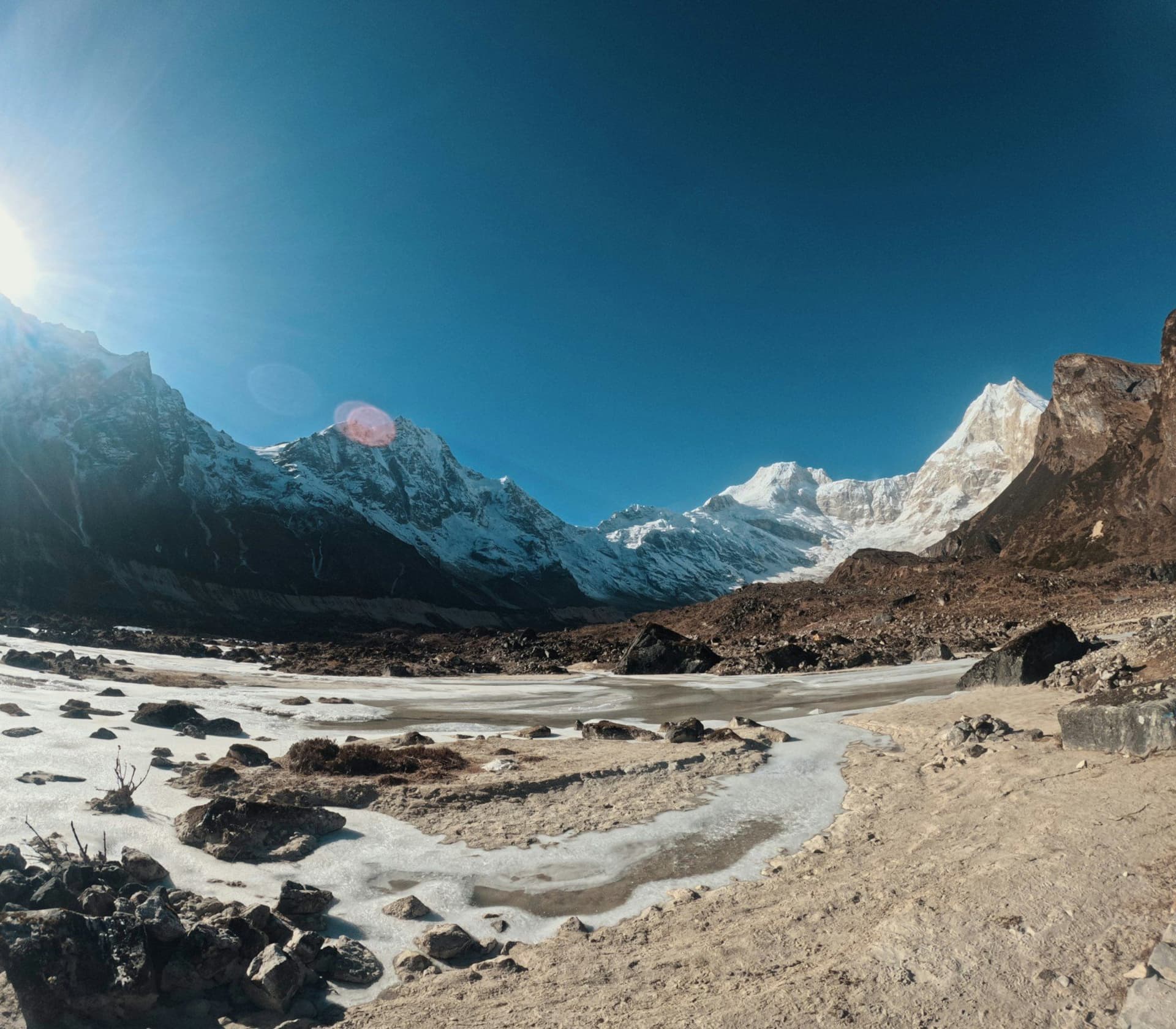
Region
Manaslu is what the Annapurna Circuit was thirty years ago: a full circumnav igation, a 5,106 metre pass, Tibetan Buddhist villages, and a permit system that keeps the numbers down.
Nepal
Location
The 5,106 m pass linking the Manaslu Circuit to the Annapurna region, and the longest single day on the route.
Manaslu Region · Nepal
Travel Guide
A month-by-month breakdown of Nepal's trekking seasons, including which regions stay walkable through the monsoon and what winter is actually like.
NepalPlanning guide
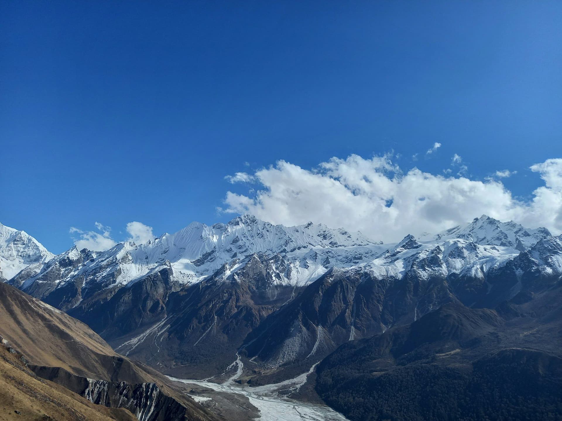
Trek
Seven days from the roadhead at Syabrubesi to a glacier-head monastery at 3,870 metres, with 4,900 m viewpoints on the doorstep. No mountain flight, no crowds and an almost ideal altitude profile.
Langtang Region · Nepal7 daysModerate4,984 m
Region
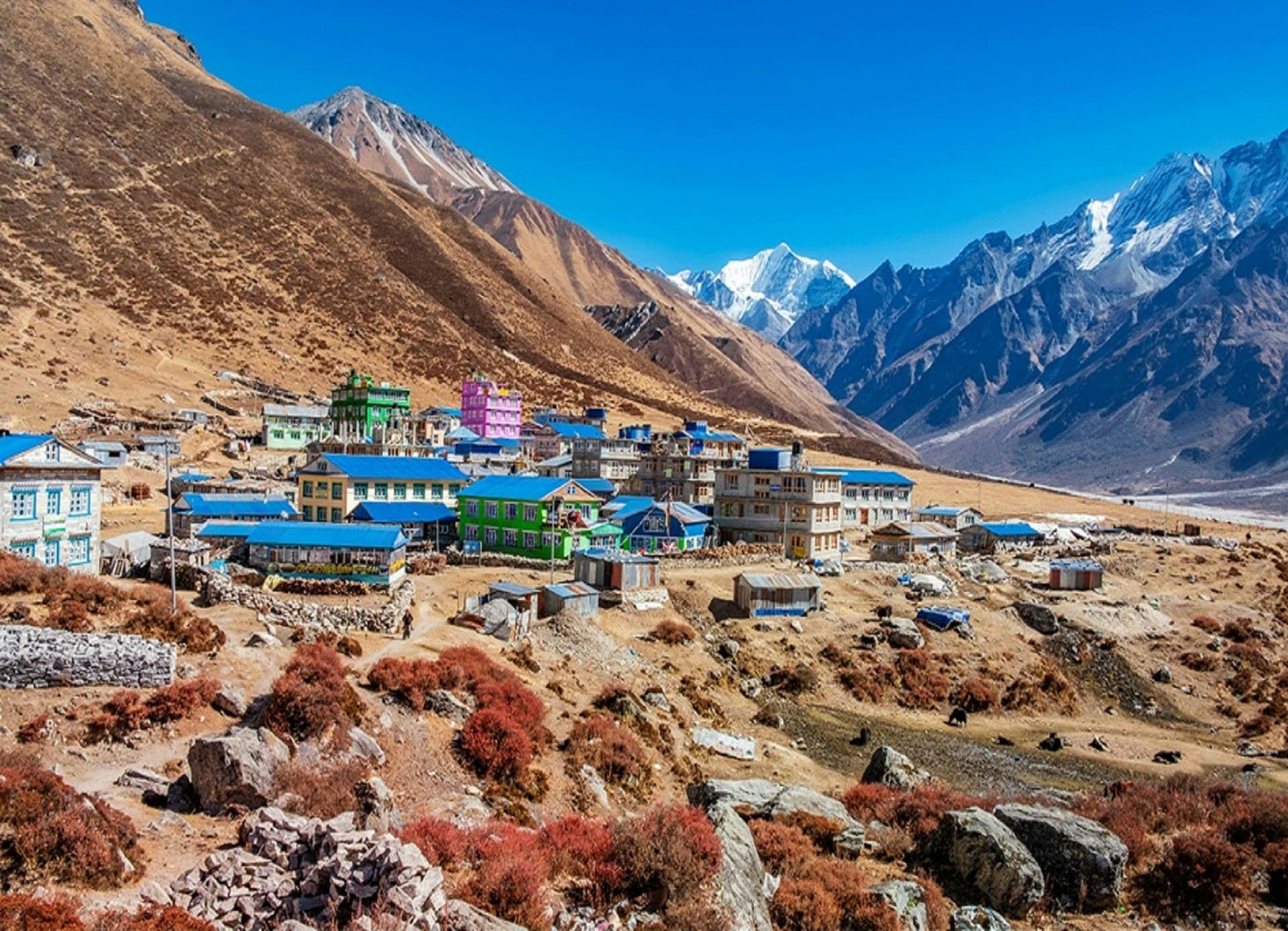
Seven hours by road from Kathmandu, no mountain flight, and a valley that rebuilt itself after the 2015 earthquake. Langtang gives you glaciers and 4,900 metre viewpoints in a week.
Nepal
Location
The roadhead for Langtang, seven hours north of Kathmandu, at the confluence of the Langtang and Bhote Kosi rivers.
Langtang Region · Nepal
Location
The head of the Langtang valley at 3,870 m — a monastery, a cheese factory, and two 4,700 m-plus viewpoints within a half-day.
Langtang Region · Nepal
Travel Guide
How Lukla flights actually work: the Manthali switch, why cancellations happen, what a helicopter costs, and how many buffer days you really need.
Everest Region · NepalPractical guide
Travel Guide
Nepal's second city is a lake, a ridge, a paragliding capital and the staging post for every Annapurna trek. Here is how to use it well.
Annapurna Region · NepalCity guide
Trek
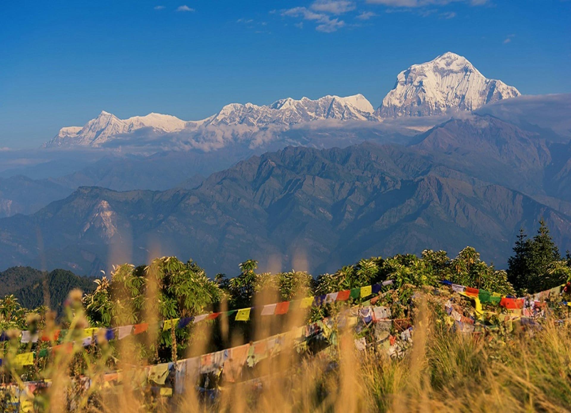
Four days, a 3,210 metre viewpoint and a sunrise over Dhaulagiri and the Annapurnas. The shortest trek in Nepal that still feels like a proper one.
Annapurna Region · Nepal4 daysEasy3,210 m
Trek
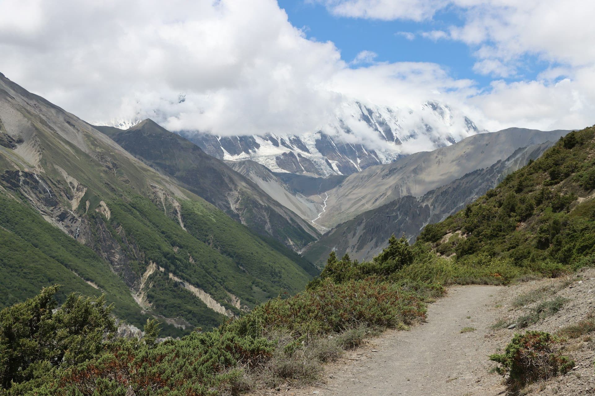
A full circumnavigation of the Annapurna massif, from subtropical farmland to the frozen scree of Thorong La at 5,416 m. More climate zones and more cultural change than any other trek in Nepal.
Annapurna Region · Nepal16 daysChallenging5,416 m
Region
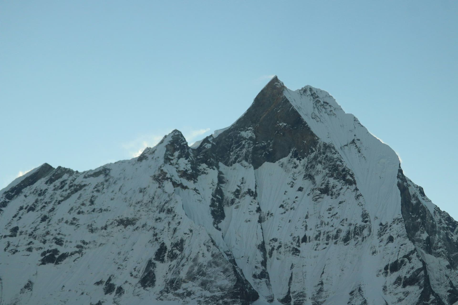
The Annapurnas offer everything from a four-day walk through rhododendron forest to a three-week circuit over a 5,416 metre pass — all reachable by road from Pokhara, with no mountain flight required.
Nepal
Location
The 5,416 m pass that defines the Annapurna Circuit — a long, cold, pre-dawn climb and a 1,600 metre descent on the far side.
Annapurna Region · Nepal
Location
A lakeside town at 822 m with the Annapurnas rising 7,000 metres behind it, and the staging post for every trek in the region.
Annapurna Region · Nepal
Location
A Tibetan-style village at 3,519 m in the rain shadow of the Annapurnas, and the acclimatisation base before Thorong La.
Annapurna Region · Nepal
Itinerary
The standard fourteen-day EBC plan with both acclimatisation days intact, a built-in weather buffer, and honest costs for each stage.
Nepal14 daysAdventure
Travel Guide
Everything you need to plan a trek in the Khumbu: routes, lodges, costs, permits, altitude, connectivity and how to get in and out.
Everest Region · NepalRegion guide
Trek
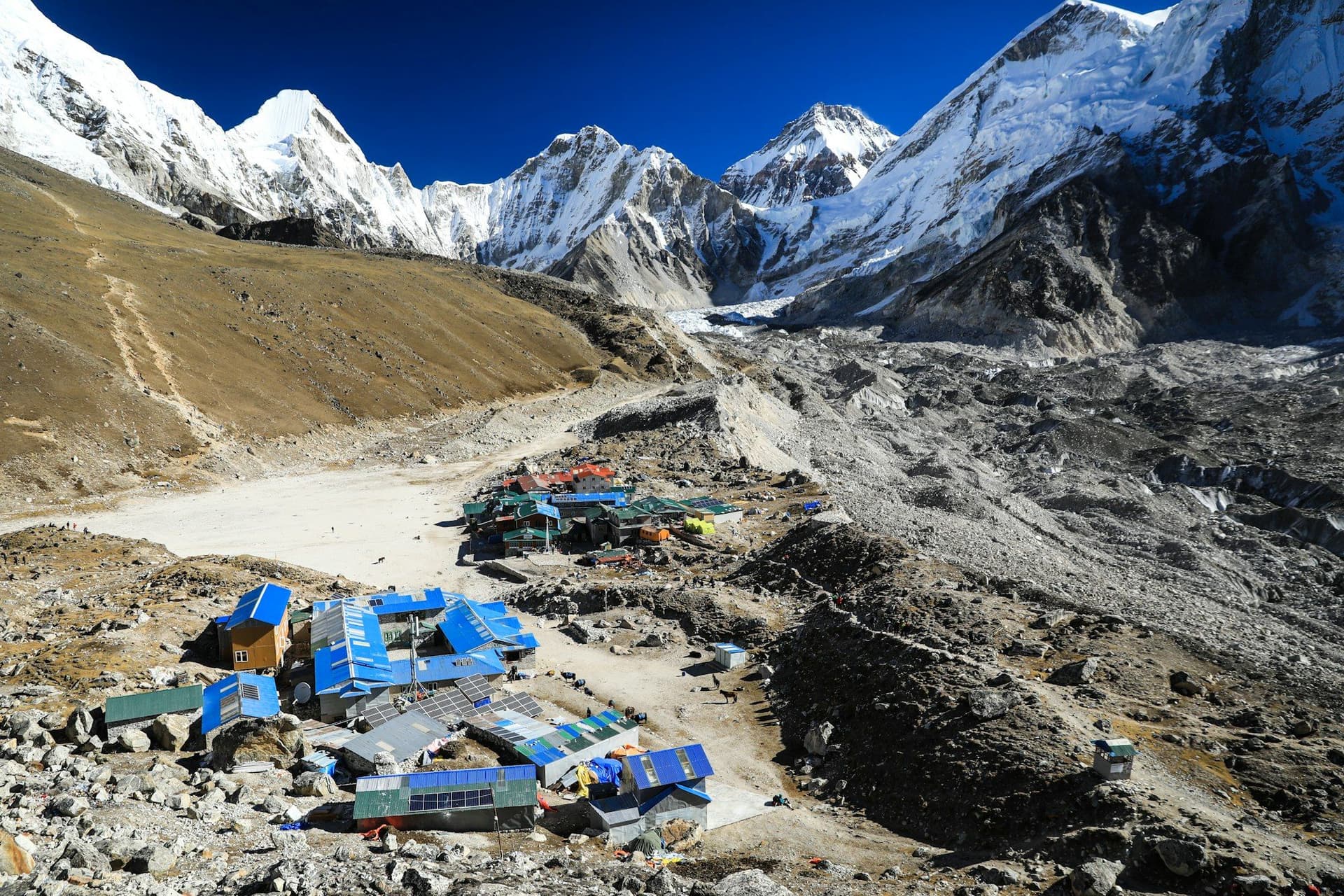
Fourteen days from Kathmandu to the moraine beneath the Khumbu Icefall and back, on the best-supported trekking route in the world. No technical skill required — but 5,364 metres asks a great deal of your acclimatisation.
Everest Region · Nepal14 daysModerate5,545 m
Location
The largest gompa in the Khumbu, set on a ridge with Ama Dablam filling the window and Everest visible over the Nuptse wall.
Everest Region · Nepal
Location
A river-side village 250 metres below Lukla, and the standard first night on the Everest trail — deliberately lower than where you landed.
Everest Region · Nepal
Location
The Sherpa capital, built into a horseshoe bowl at 3,440 m, and the single most important acclimatisation stop on the Everest trail.
Everest Region · Nepal
Location
Tenzing–Hillary Airport, the 527-metre sloping airstrip that is the gateway to the Khumbu and the reason most Everest itineraries need two spare days.
Everest Region · Nepal
Location
A cold cluster of lodges beside the Khumbu glacier moraine at 4,940 m, and the last comfortable night before Gorak Shep.
Everest Region · Nepal
Location
A 5,545 m shoulder of Pumori and the highest point most trekkers reach — the classic head-on view of Everest's south-west face.
Everest Region · Nepal
Location
The highest settlement on the route at 5,164 m: four lodges on a frozen lakebed, used as the launch point for Base Camp and Kala Patthar.
Everest Region · Nepal
Location
The south side base camp at 5,364 m, on the moraine directly beneath the Khumbu Icefall — a tent city in spring, bare rock and ice the rest of the year.
Everest Region · Nepal
Location
A walled barley village at 4,410 m, and the second compulsory acclimatisation stop on the way to Everest Base Camp.
Everest Region · Nepal
Region
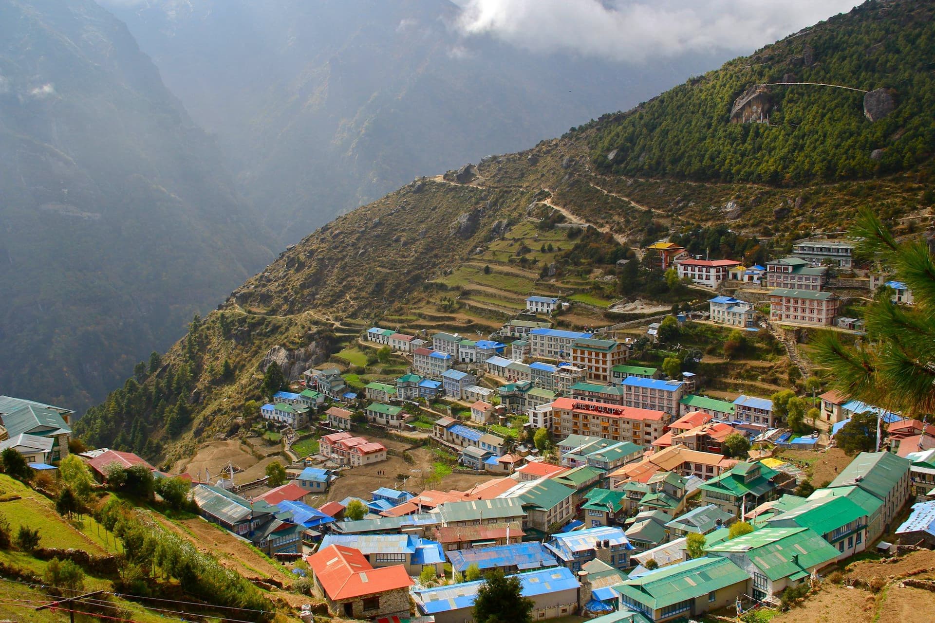
Everything in the Khumbu starts with the flight into Lukla and ends with the altitude. It holds the best-supported trekking infrastructure in Nepal and the least forgiving acclimatisation profile.
Nepal
Destination
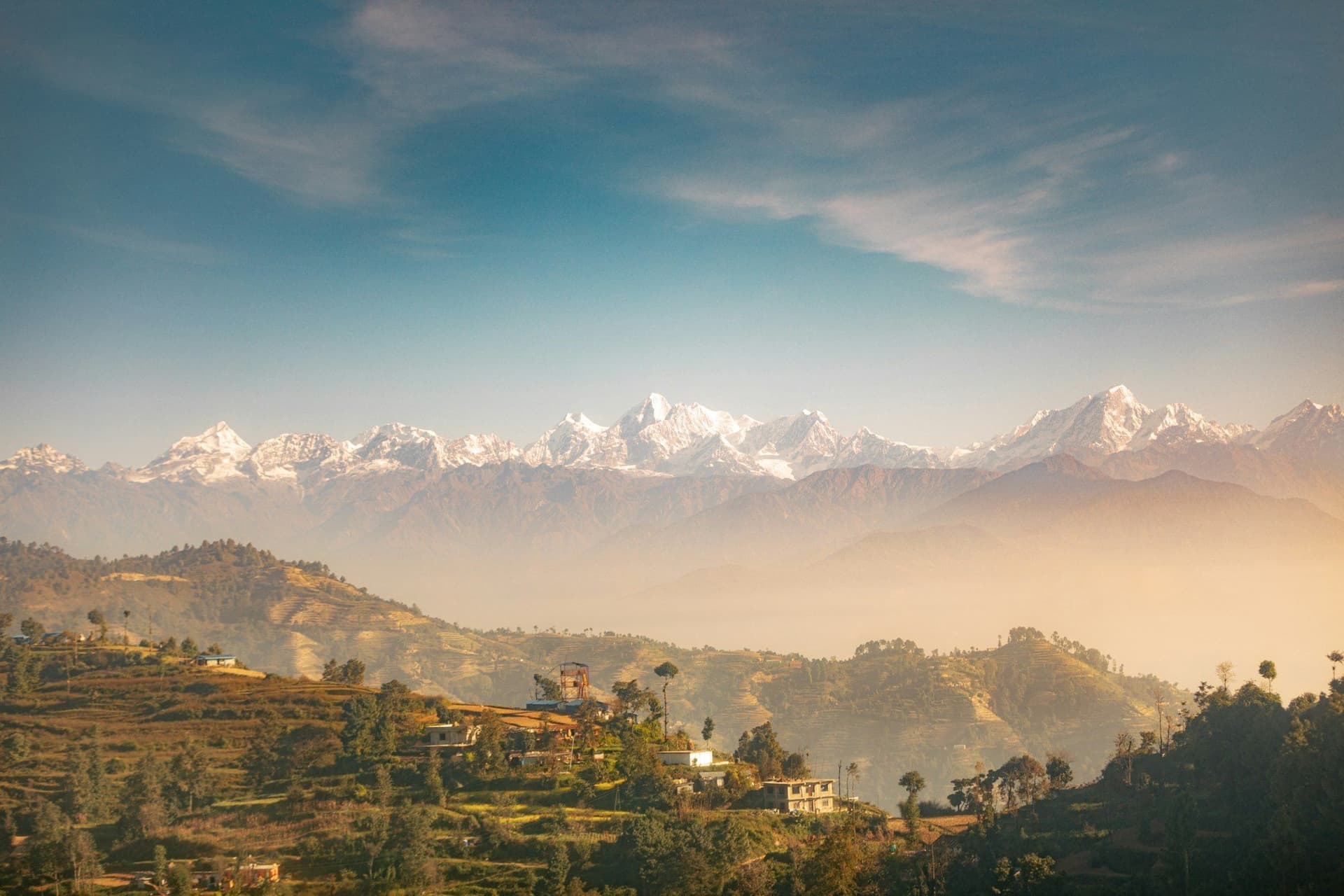
Nepal packs subtropical jungle, medieval hill towns and 8,000-metre peaks into a country the size of England. It is also the easiest place in the world to walk for two weeks without a tent, thanks to a teahouse network that has been refined over fifty years.
Newsletter
One considered email a month: new route guides, seasonal trekking conditions and the practical details that change on the ground.
Subscribers also get