Overview
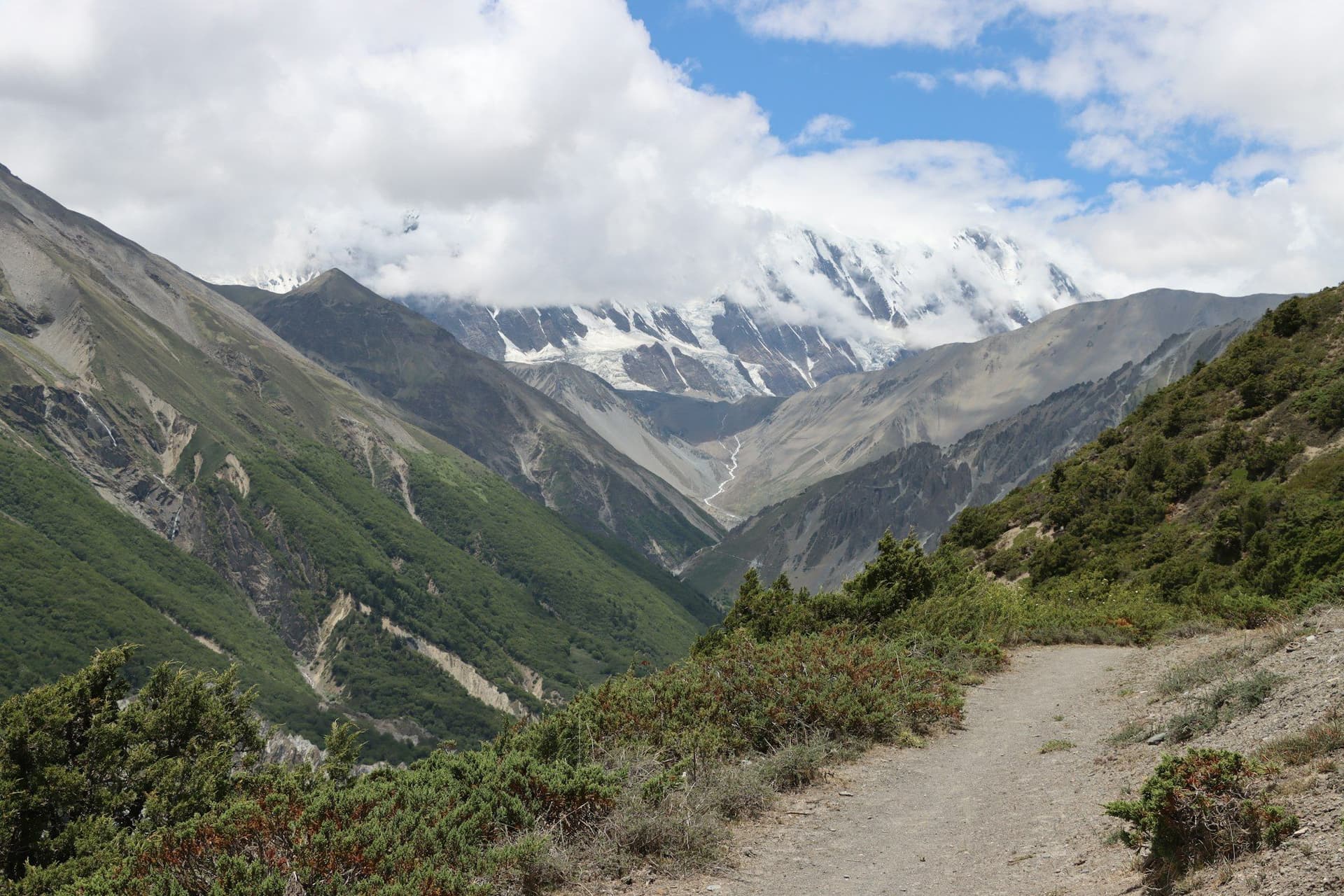
The Annapurna Circuit works its way anticlockwise around a 55-kilometre-long massif containing one 8,000-metre peak and thirteen above 7,000 m. Starting in rice terraces at 760 metres and finishing beyond the main range in the arid Tibetan-influenced country of Mustang, it passes through more distinct landscapes than any other trek in Nepal.
Road building has changed the route since 2010 — vehicle tracks now reach Manang from the east and Jomsom from the west — but the NATT trail network keeps walkers off the road for most of the way, and the high section over Thorong La is exactly as it was.
Route
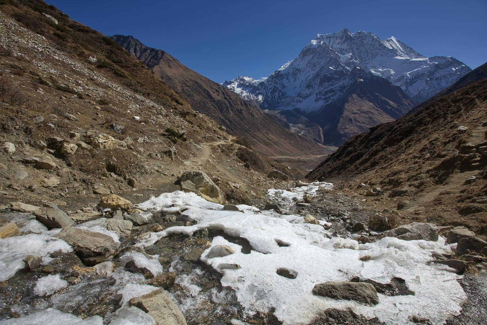
From Besisahar the trail follows the Marsyangdi north into an increasingly narrow gorge, emerging at Chame into pine forest. Above Pisang the country turns dry and Tibetan. Manang at 3,519 m is the acclimatisation base, after which the route climbs steadily to Thorong Phedi and crosses Thorong La at 5,416 m — the pivot of the whole trek — before descending 1,600 metres to Muktinath and the Kali Gandaki, the deepest gorge in the world.
Thorong La
Take the pass seriously. It is a long, cold, exposed day, and the weather can turn hard: an unseasonal storm in October 2014 killed more than forty people on this crossing. Leave High Camp by 5 a.m., turn back without argument if visibility closes in, and never cross with symptoms of altitude sickness.
Day by day
The 16 days itinerary
Distances, walking times, altitudes and accommodation for every stage — stored as structured data, not written into the prose.
- Day 1
Kathmandu or Pokhara to Besisahar, jeep to Chame
Besisahar (760 m) → Chame (2,670 m)
- Walking
- Full day by road
- Altitude
- 2,670 m
- Sleep
- Teahouse, Chame
- Meals
- Breakfast, dinner
Most walkers now jeep the lower road section, which the vehicle track has made unpleasant on foot, and start walking properly at Chame.
- Day 2
Chame to Upper Pisang
Chame (2,670 m) → Upper Pisang (3,300 m)
- Distance
- 15 km
- Walking
- 6 hours
- Altitude
- 2,670 m → 3,300 m
- Elevation
- +630 m
- Sleep
- Teahouse, Upper Pisang
- Meals
- Breakfast, lunch, dinner
- Paungda Danda rock face
- First Tibetan-style villages
- Day 3
Upper Pisang to Manang via the high route
Upper Pisang (3,300 m) → Ghyaru → Ngawal → Manang (3,519 m)
- Distance
- 17 km
- Walking
- 7 hours
- Altitude
- 3,300 m → 3,519 m
- Elevation
- +750 m / −530 m
- Sleep
- Teahouse, Manang
- Meals
- Breakfast, lunch, dinner
Take the high route through Ghyaru and Ngawal even though it climbs 400 metres more. It is the best half-day of the entire circuit, and the extra altitude helps.
- Ghyaru viewpoint
- Annapurna II and IV head-on
- Day 4
Manang — acclimatisation day
Manang → Ice Lake (4,600 m) or Gangapurna viewpoint → Manang
- Distance
- 10 km
- Walking
- 5–6 hours
- Altitude
- 3,519 m → 3,519 m
- Elevation
- +1080 m / −1080 m
- Sleep
- Teahouse, Manang
- Meals
- Breakfast, lunch, dinner
- HRA altitude talk
- Ice Lake
- Day 5
Manang to Yak Kharka
Manang (3,519 m) → Yak Kharka (4,050 m)
- Distance
- 10 km
- Walking
- 4 hours
- Altitude
- 3,519 m → 4,050 m
- Elevation
- +530 m
- Sleep
- Teahouse, Yak Kharka
- Meals
- Breakfast, lunch, dinner
- Day 6
Yak Kharka to Thorong High Camp
Yak Kharka (4,050 m) → Thorong Phedi → High Camp (4,880 m)
- Distance
- 7 km
- Walking
- 4 hours
- Altitude
- 4,050 m → 4,880 m
- Elevation
- +830 m
- Sleep
- Basic lodge, High Camp
- Meals
- Breakfast, lunch, dinner
Sleeping at High Camp shortens the pass day considerably but is a hard night at 4,880 m. If you are feeling the altitude at all, stay at Phedi.
- Day 7
Cross Thorong La to Muktinath
High Camp (4,880 m) → Thorong La (5,416 m) → Muktinath (3,760 m)
- Distance
- 16 km
- Walking
- 8–9 hours
- Altitude
- 4,880 m → 3,760 m
- Elevation
- +536 m / −1656 m
- Sleep
- Teahouse, Muktinath
- Meals
- Breakfast, lunch, dinner
Leave by 5 a.m. The climb is not steep but it is long and cold, and the descent on the far side is punishing on the knees. Poles matter today more than any other day.
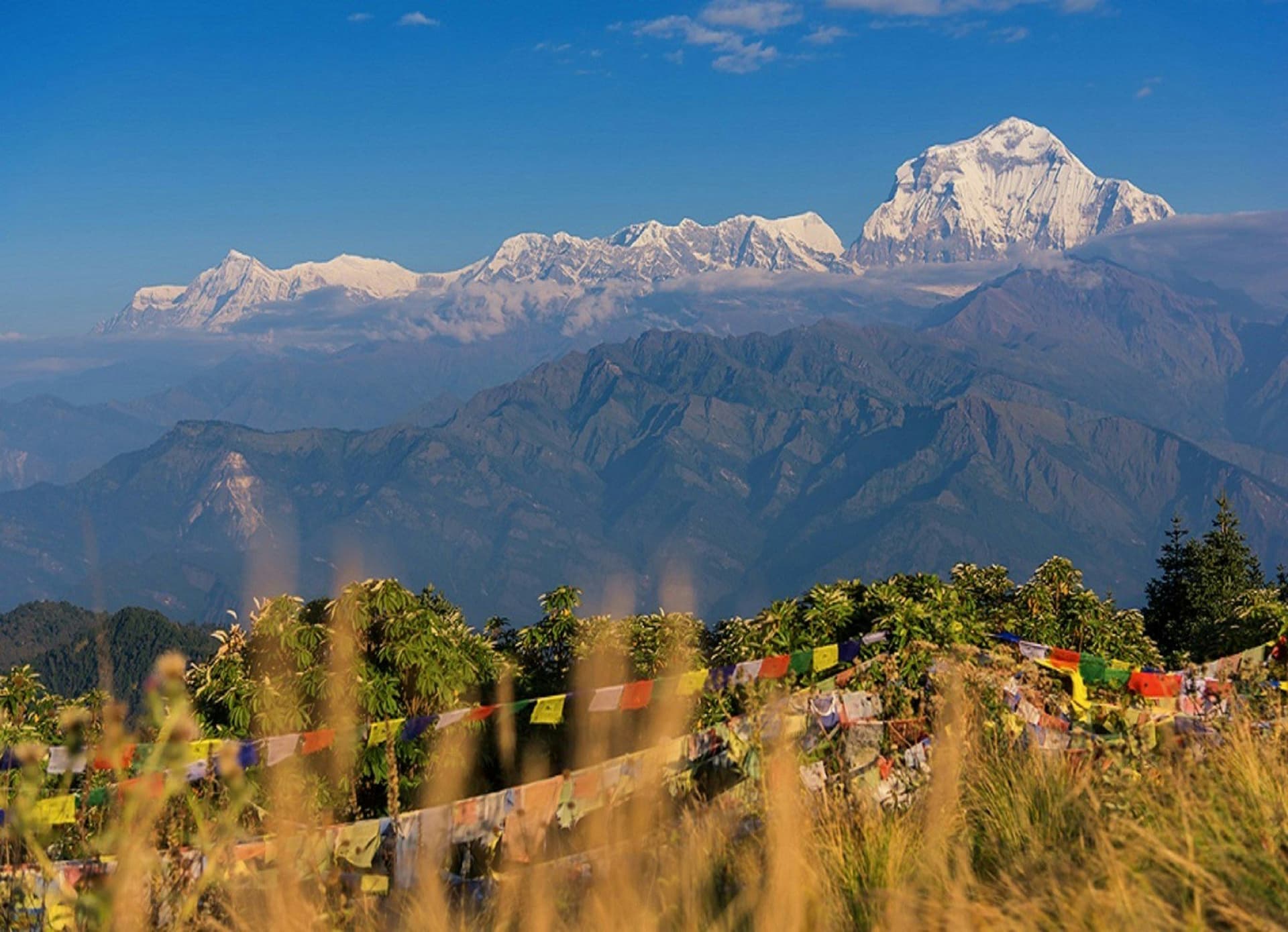
- Thorong La prayer flags
- 1,600 m descent
- Muktinath temple
- Day 8
Muktinath to Jomsom
Muktinath (3,760 m) → Kagbeni → Jomsom (2,720 m)
- Distance
- 21 km
- Walking
- 6 hours
- Altitude
- 3,760 m → 2,720 m
- Elevation
- −1040 m
- Sleep
- Teahouse, Jomsom
- Meals
- Breakfast, lunch, dinner
Walk in the morning. The Kali Gandaki wind gets up around 11 a.m. and blows hard up the valley all afternoon.
- Kali Gandaki gorge
- Kagbeni old town
- Mustang wind
Route map
Where the trail goes
Route line, start and end points, and every overnight stop. Locations are shared entities — the same record powers the destination and itinerary pages.
Frequently asked questions
How long does the Annapurna Circuit take now?
Is the Annapurna Circuit harder than Everest Base Camp?
Can you still walk the whole circuit?
About the author
Maya Thapa
Senior trekking writer
Maya has walked more than 4,000 kilometres of Nepal's trail network, from the teahouse highways of the Khumbu to the restricted valleys along the Tibetan border. She writes the route guides and day-by-day itineraries, and returns to most trails every second season to re-check lodge availability, water points and trail reroutes after monsoon damage.
Writes about: Nepal trekking · High-altitude routes · Teahouse logistics