Overview
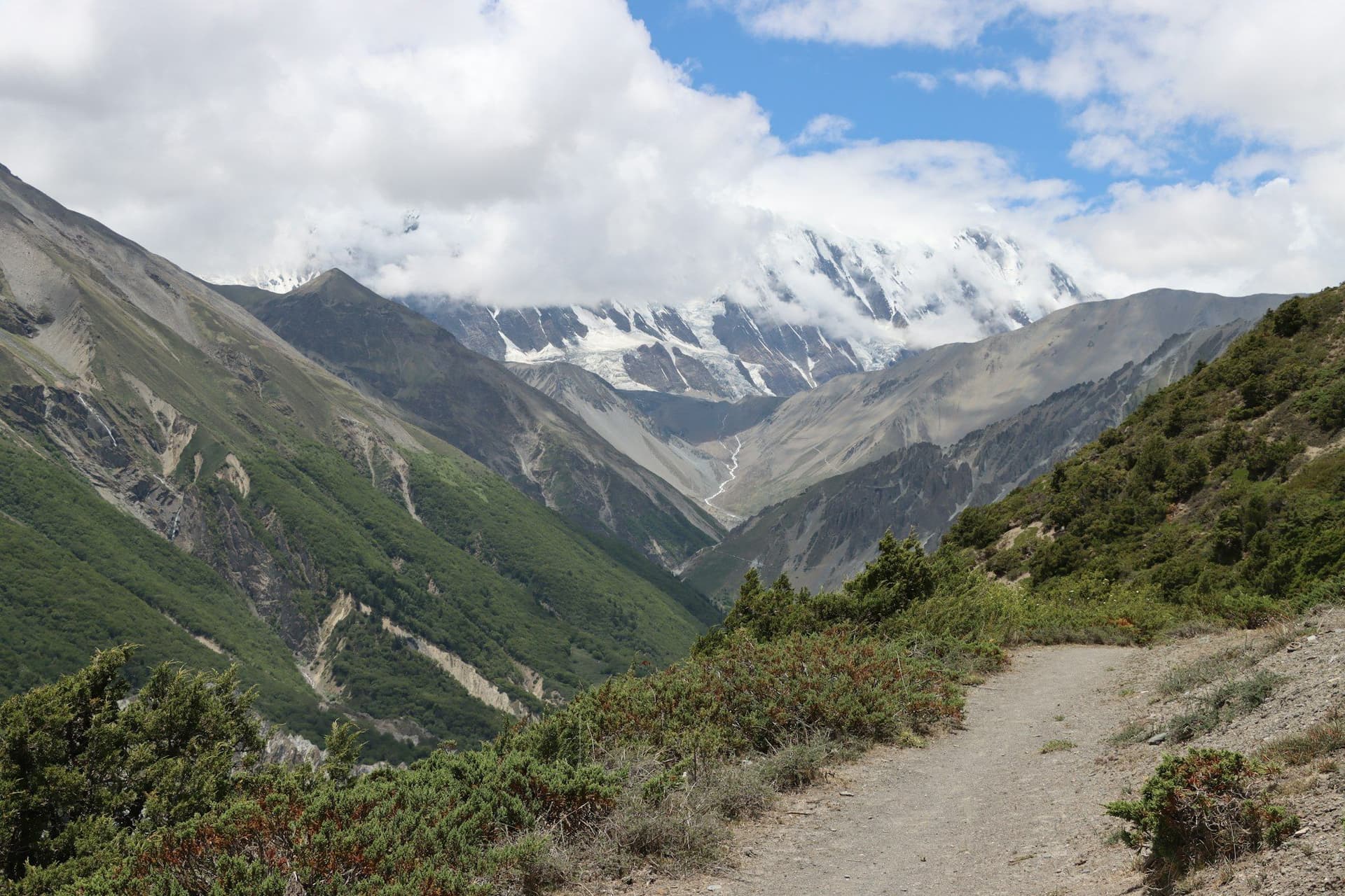
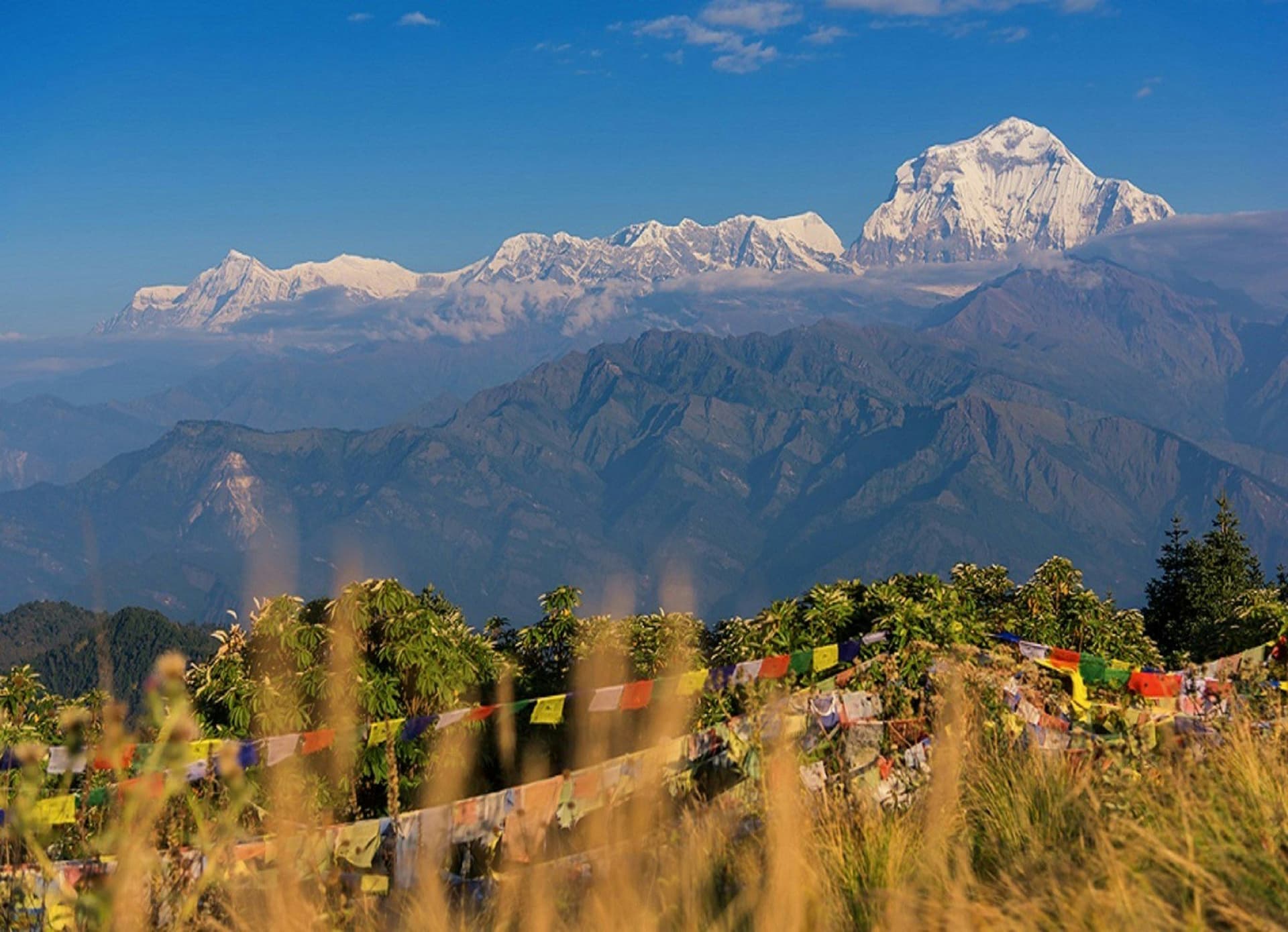
Ghorepani Poon Hill is the trek people do when they have four days and still want to stand somewhere with a view of an 8,000-metre mountain. It stays below 3,300 metres, follows a well-graded stone trail through some of the finest rhododendron forest in Nepal, and finishes at a viewpoint that takes in Dhaulagiri, Annapurna South, Hiunchuli and Machhapuchhre in a single sweep.
It is popular, and it is popular for good reasons. In late March and April the rhododendron between Ulleri and Ghorepani turns the hillside red, which is a better reason to come than the sunrise.
Day by day
The 4 days itinerary
Distances, walking times, altitudes and accommodation for every stage — stored as structured data, not written into the prose.
- Day 1
Pokhara to Ulleri
Nayapul (1,070 m) → Tikhedhunga → Ulleri (1,960 m)
- Distance
- 11 km
- Walking
- 5 hours
- Altitude
- 1,070 m → 1,960 m
- Elevation
- +890 m
- Sleep
- Teahouse, Ulleri
The day is defined by a single staircase — more than three thousand stone steps climbing to Ulleri. It is as tiring as it sounds and entirely manageable if you start early.
- The 3,300 stone steps to Ulleri
- Day 2
Ulleri to Ghorepani
Ulleri (1,960 m) → Ghorepani (2,860 m)
- Distance
- 10 km
- Walking
- 5 hours
- Altitude
- 1,960 m → 2,860 m
- Elevation
- +900 m
- Sleep
- Teahouse, Ghorepani
- Rhododendron forest
- First Dhaulagiri views
- Day 3
Poon Hill sunrise, then Tadapani
Ghorepani → Poon Hill (3,210 m) → Tadapani (2,630 m)
- Distance
- 12 km
- Walking
- 6 hours
- Altitude
- 2,860 m → 2,630 m
- Elevation
- +350 m / −580 m
- Sleep
- Teahouse, Tadapani
A 4.30 a.m. start for the forty-five minute climb to the tower. In season there will be two hundred other people up there, and it is still worth it.
- Sunrise on Dhaulagiri and Annapurna South
- Machhapuchhre
- Day 4
Tadapani to Nayapul, drive to Pokhara
Tadapani (2,630 m) → Ghandruk → Nayapul (1,070 m)
- Distance
- 12 km
- Walking
- 5 hours
- Altitude
- 2,630 m → 1,070 m
- Elevation
- −1560 m
- Sleep
- Hotel, Pokhara
- Ghandruk Gurung village
Route map
Where the trail goes
Route line, start and end points, and every overnight stop. Locations are shared entities — the same record powers the destination and itinerary pages.
Frequently asked questions
Is Poon Hill suitable for beginners?
Can I combine Poon Hill with Annapurna Base Camp?
About the author
Maya Thapa
Senior trekking writer
Maya has walked more than 4,000 kilometres of Nepal's trail network, from the teahouse highways of the Khumbu to the restricted valleys along the Tibetan border. She writes the route guides and day-by-day itineraries, and returns to most trails every second season to re-check lodge availability, water points and trail reroutes after monsoon damage.
Writes about: Nepal trekking · High-altitude routes · Teahouse logistics