Overview
Api is 7,132 metres and stands in Darchula, the extreme north-western corner of Nepal against the Indian border. It is the highest peak in the far west, and its base camp is among the least-visited destinations in the country.
Eleven days including two very long road days, no lodges, and a conservation area that only came into existence in 2010.
The route
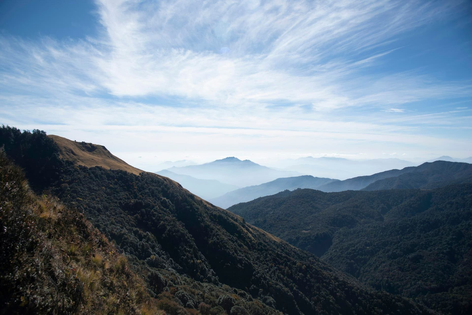
From Gokuleshwar the trail climbs steadily through terraced farms and Byansi and Shauka villages, then oak and rhododendron forest, to Api Base Camp at 3,900 m in high meadows beneath the south face.
Kali Dhunga — a black rock outcrop above the camp at about 4,100 m, sacred locally — gives the closest view of the face and the Nampa group beside it.
Why it is hard at a modest altitude
The maximum is 4,100 metres, which is low by Nepali standards, and altitude will not trouble you. What will is roughly 5,500 metres of cumulative ascent, a 1,000-metre climb to base camp, a 1,750-metre descent on the way back, rough and sometimes indistinct trail, and no lodge to arrive at.
Getting there
Fly Kathmandu to Dhangadhi in the far-western Terai, then eleven hours by jeep on unsealed mountain road to Gokuleshwar. There is no shortcut. Some operators break the drive.
Who goes
Very few people. If you want a Himalayan trek where you will not see another group, and you are willing to spend two days of an eleven-day trip in a vehicle to get it, this is the one.
Best season
April to June and September to October. The far west gets significant monsoon in July and August, and winter brings snow low enough to close the upper meadows.
Day by day
The 11 days itinerary
Distances, walking times, altitudes and accommodation for every stage — stored as structured data, not written into the prose.
- Day 1
Kathmandu to Dhangadhi
Kathmandu (1,400 m) → Dhangadhi (110 m)
- Walking
- 1.5 hours by air
- Altitude
- 1,400 m → 110 m
- Sleep
- Hotel, Dhangadhi
- Meals
- Dinner
- Day 2
Dhangadhi to Gokuleshwar
Dhangadhi (110 m) → Gokuleshwar (1,000 m)
- Walking
- 11 hours by jeep
- Altitude
- 110 m → 1,000 m
- Sleep
- Guesthouse, Gokuleshwar
- Meals
- Breakfast, lunch, dinner
A very long day on a mountain road. Some itineraries break it at Attariya or Patan; the road is unsealed for most of its length.
- Day 3
Gokuleshwar to Makarigad
Gokuleshwar (1,000 m) → Makarigad (1,800 m)
- Distance
- 14 km
- Walking
- 6 hours
- Altitude
- 1,000 m → 1,800 m
- Elevation
- +800 m
- Sleep
- Camp, Makarigad
- Meals
- Breakfast, lunch, dinner
- Day 4
Makarigad to Seti
Makarigad (1,800 m) → Seti (2,150 m)
- Distance
- 13 km
- Walking
- 6 hours
- Altitude
- 1,800 m → 2,150 m
- Elevation
- +550 m / −200 m
- Sleep
- Homestay, Seti
- Meals
- Breakfast, lunch, dinner
- Terraced hill farms
- Byansi and Shauka villages
- Day 5
Seti to Dhaulinag
Seti (2,150 m) → Dhaulinag (2,900 m)
- Distance
- 12 km
- Walking
- 6 hours
- Altitude
- 2,150 m → 2,900 m
- Elevation
- +750 m
- Sleep
- Camp, Dhaulinag
- Meals
- Breakfast, lunch, dinner
- Oak and rhododendron forest
- Day 6
Dhaulinag to Api Base Camp
Dhaulinag (2,900 m) → Api Base Camp (3,900 m)
- Distance
- 12 km
- Walking
- 7 hours
- Altitude
- 2,900 m → 3,900 m
- Elevation
- +1000 m
- Sleep
- Camp, Api Base Camp
- Meals
- Breakfast, lunch, dinner
- Api's south face
- Nampa
- The Kali Dhunga meadows
- Day 7
Api Base Camp and Kali Dhunga
Api Base Camp (3,900 m) → Kali Dhunga (4,100 m) → base camp
- Distance
- 8 km
- Walking
- 5 hours
- Altitude
- 3,900 m → 3,900 m
- Elevation
- +200 m / −200 m
- Sleep
- Camp, Api Base Camp
- Meals
- Breakfast, lunch, dinner
- Kali Dhunga
- the black rock shrine
- Api at close range
- Blue sheep
- Day 8
Api Base Camp to Seti
Api Base Camp (3,900 m) → Seti (2,150 m)
- Distance
- 24 km
- Walking
- 8 hours
- Altitude
- 3,900 m → 2,150 m
- Elevation
- −1750 m
- Sleep
- Homestay, Seti
- Meals
- Breakfast, lunch, dinner
- Day 9
Seti to Makarigad
Seti (2,150 m) → Makarigad (1,800 m)
- Distance
- 13 km
- Walking
- 5 hours
- Altitude
- 2,150 m → 1,800 m
- Elevation
- +200 m / −550 m
- Sleep
- Camp, Makarigad
- Meals
- Breakfast, lunch, dinner
- Day 10
Makarigad to Gokuleshwar, drive to Dhangadhi
Makarigad (1,800 m) → Gokuleshwar (1,000 m) → Dhangadhi (110 m)
- Distance
- 14 km
- Walking
- 5 hours walking, 11 hours by jeep
- Altitude
- 1,800 m → 110 m
- Sleep
- Hotel, Dhangadhi
- Meals
- Breakfast, dinner
- Day 11
Dhangadhi to Kathmandu
Dhangadhi (110 m) → Kathmandu (1,400 m)
- Walking
- 1.5 hours by air
- Altitude
- 110 m → 1,400 m
- Meals
- Breakfast
Route map
Where the trail goes
Route line, start and end points, and every overnight stop. Locations are shared entities — the same record powers the destination and itinerary pages.
Frequently asked questions
Where exactly is Api?
Do you need a special permit?
Why is it graded strenuous at only 4,100 m?
What is Kali Dhunga?
Will you meet other trekkers?
About the author
Tom Eriksen
Gear editor & photographer
Tom tests trekking equipment the only way that produces honest answers: by carrying it for weeks at a time above 4,000 metres. He shoots most of the photography on this site and writes the gear reviews, comparison tables and packing lists.
Writes about: Trekking gear · Photography · Packing and weight