Overview
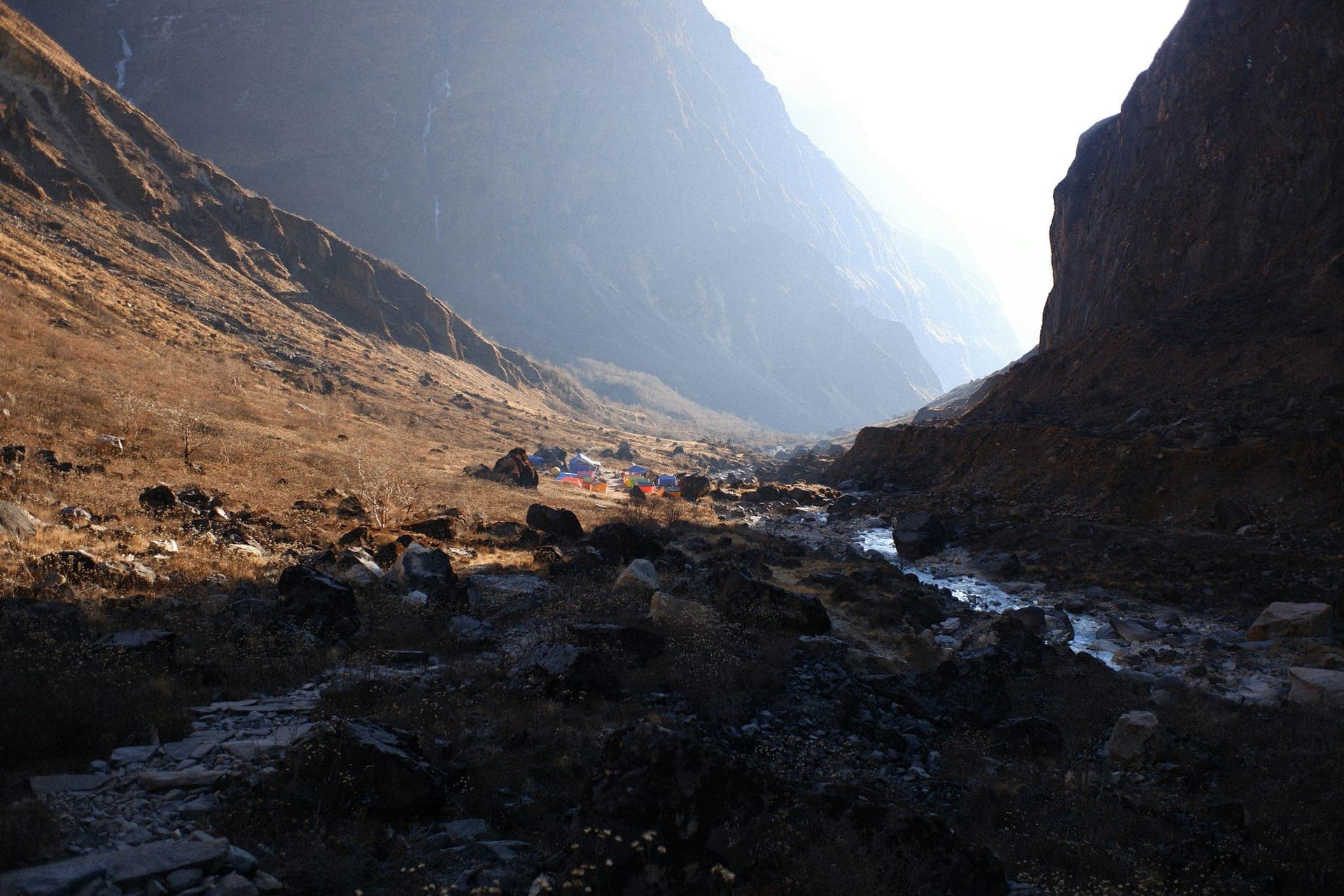
Sixteen days from Jumla to Juphal, crossing the Kagmara La at 5,115 metres from the Karnali watershed into Dolpo. It is a traverse rather than a circuit, and it approaches Phoksundo from the west — over a pass, out of empty country — rather than up the gorge from the airstrip.
Very few people walk it. Between Kaigaon and Pungmo there is no permanent settlement, no lodge and no resupply for the better part of a week.
The route
From Jumla the trail works east and south through Gothichaur, Chaurikot and Kaigaon, gaining and losing height across a succession of ridges. Kaigaon is the last village.
From there the Garpung Khola leads up past the tree line to a camp below the Kagmara La. The pass is the crux — a long walk-up at 5,115 metres with camps at 4,000 on either side and nothing in between.
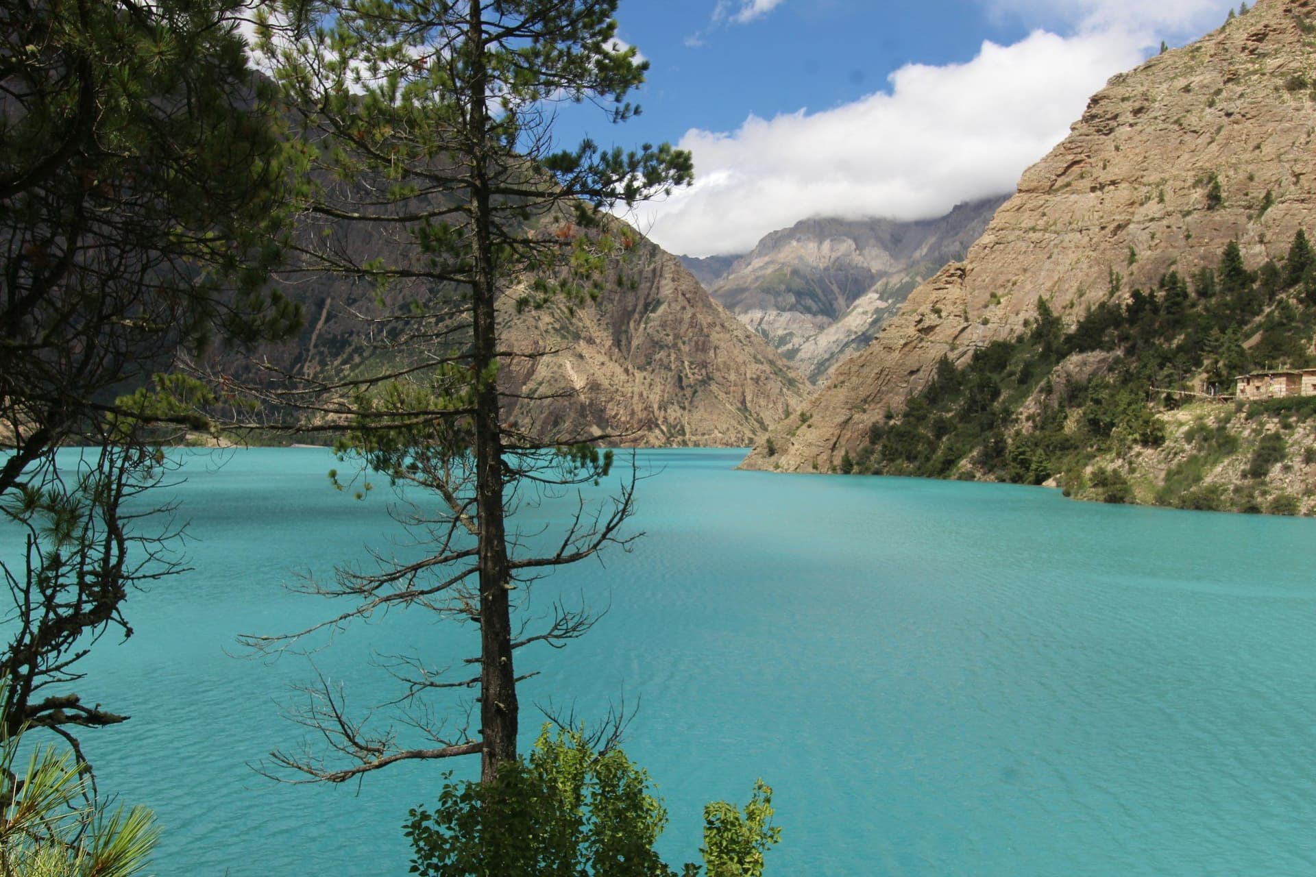
The far side drops into the Pungmo valley and the first Bon village, and from there it is two days to Phoksundo Lake. The exit runs down the Suligad gorge to Dunai and Juphal.
What it costs
USD 1,800 to 3,000, which is high for the duration and entirely down to the logistics. This is a full camping expedition — crew, tents, kitchen and sixteen days of food carried from Jumla — plus two separate flight pairs, since you fly into one airstrip and out of another.
Why the monsoon
Most of Nepal is unwalkable in July and August. Dolpo is not: it sits behind the main range, takes very little of the monsoon, and is at its best exactly when the rest of the country is under cloud. The Kagmara La is also more reliably clear of snow then than in spring.
The two flights remain the weak point in any month.
Day by day
The 16 days itinerary
Distances, walking times, altitudes and accommodation for every stage — stored as structured data, not written into the prose.
- Day 1
Kathmandu to Nepalgunj
Kathmandu (1,400 m) → Nepalgunj (150 m)
- Walking
- 1 hour by air
- Altitude
- 1,400 m → 150 m
- Sleep
- Hotel, Nepalgunj
- Meals
- Dinner
- Day 2
Nepalgunj to Jumla
Nepalgunj (150 m) → Jumla (2,370 m)
- Walking
- 45 minutes by air
- Altitude
- 150 m → 2,370 m
- Sleep
- Lodge, Jumla
- Meals
- Breakfast, lunch, dinner
Jumla grows rice at around 2,300 metres, which is thought to be the highest anywhere. It is also the last place on this trek to buy anything, so the load goes on here.
- Jumla bazaar
- The highest rice terraces in the world
- Day 3
Jumla to Gothichaur
Jumla (2,370 m) → Gothichaur (2,700 m)
- Distance
- 14 km
- Walking
- 6 hours
- Altitude
- 2,370 m → 2,700 m
- Elevation
- +450 m
- Sleep
- Camp, Gothichaur
- Meals
- Breakfast, lunch, dinner
- The Tila valley
- Gothichaur meadow
- Malla-era water spout
- Day 4
Gothichaur to Chotra
Gothichaur (2,700 m) → Munigaon → Chotra (2,860 m)
- Distance
- 16 km
- Walking
- 6 hours
- Altitude
- 2,700 m → 2,860 m
- Elevation
- +600 m / −440 m
- Sleep
- Camp, Chotra
- Meals
- Breakfast, lunch, dinner
- Day 5
Chotra to Chaurikot
Chotra (2,860 m) → Chaurikot (3,060 m)
- Distance
- 15 km
- Walking
- 6 hours
- Altitude
- 2,860 m → 3,060 m
- Elevation
- +700 m / −500 m
- Sleep
- Camp, Chaurikot
- Meals
- Breakfast, lunch, dinner
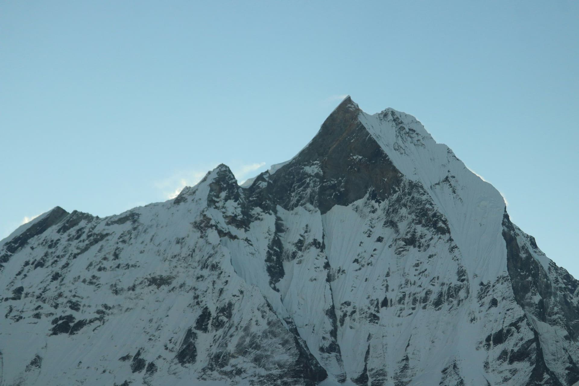
- First view of Kagmara
- Open grazing country
- Day 6
Chaurikot to Rimi
Chaurikot (3,060 m) → Balasa → Rimi (2,900 m)
- Distance
- 14 km
- Walking
- 5 hours
- Altitude
- 3,060 m → 2,900 m
- Elevation
- +300 m / −460 m
- Sleep
- Camp, Rimi
- Meals
- Breakfast, lunch, dinner
- Day 7
Rimi to Kaigaon
Rimi (2,900 m) → Kaigaon (2,600 m)
- Distance
- 13 km
- Walking
- 5 hours
- Altitude
- 2,900 m → 2,600 m
- Elevation
- +250 m / −550 m
- Sleep
- Camp, Kaigaon
- Meals
- Breakfast, lunch, dinner
Kaigaon is the last permanent village before the pass and the last chance to hire an extra porter or buy anything at all. From here the route is empty for four days.
- Day 8
Kaigaon to Toijem
Kaigaon (2,600 m) → Toijem (3,020 m)
- Distance
- 13 km
- Walking
- 6 hours
- Altitude
- 2,600 m → 3,020 m
- Elevation
- +500 m / −80 m
- Sleep
- Camp, Toijem
- Meals
- Breakfast, lunch, dinner
- Entering the Garpung Khola
- Shey Phoksundo National Park boundary
- Day 9
Toijem to Kagmara Phedi
Toijem (3,020 m) → Kagmara Phedi (4,000 m)
- Distance
- 12 km
- Walking
- 6 hours
- Altitude
- 3,020 m → 4,000 m
- Elevation
- +980 m
- Sleep
- Camp, Kagmara Phedi
- Meals
- Breakfast, lunch, dinner
- Above the tree line
- Kagmara peaks ahead
- Day 10
Kagmara Phedi over the Kagmara La
Kagmara Phedi (4,000 m) → Kagmara La (5,115 m) → Pungmo valley camp (4,000 m)
- Distance
- 14 km
- Walking
- 8 hours
- Altitude
- 4,000 m → 4,000 m
- Elevation
- +1115 m / −1115 m
- Sleep
- Camp, Pungmo valley
- Meals
- Breakfast, lunch, dinner
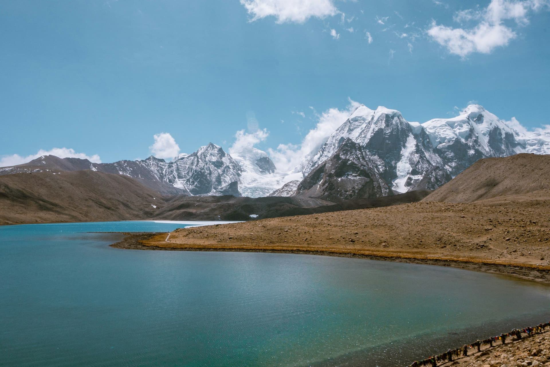
The high point of the traverse and the day everything else is built around. It is a long walk-up rather than a climb, but at 5,115 metres with no lodge on either side there is no margin for a slow start. Snow can hold on the north side well into June.
- Kagmara La
- The crossing into Dolpo
- Kanjiroba to the north
- Day 11
Pungmo valley to Pungmo
Pungmo valley camp (4,000 m) → Pungmo (3,170 m)
- Distance
- 15 km
- Walking
- 6 hours
- Altitude
- 4,000 m → 3,170 m
- Elevation
- −830 m
- Sleep
- Camp, Pungmo
- Meals
- Breakfast, lunch, dinner
Pungmo is the first settlement on the Dolpo side and the change is abrupt — Bon chortens, flat roofs, barley, and juniper smoke.
- First Dolpo village
- Bon chortens
- Day 12
Pungmo to Phoksundo Lake
Pungmo (3,170 m) → Palam → Ringmo (3,611 m)
- Distance
- 14 km
- Walking
- 6 hours
- Altitude
- 3,170 m → 3,611 m
- Elevation
- +600 m / −160 m
- Sleep
- Lodge or camp, Ringmo
- Meals
- Breakfast, lunch, dinner
- Phoksundo waterfall
- The lake
- Ringmo village
- Day 13
Phoksundo Lake — rest day
Ringmo (3,611 m) and the lake shore
- Distance
- 6 km
- Walking
- 3 hours of easy walking
- Altitude
- 3,611 m → 3,611 m
- Sleep
- Lodge or camp, Ringmo
- Meals
- Breakfast, lunch, dinner
- Tshowa Bon monastery
- The shelf path along the western cliff
- Day 14
Ringmo to Chhepka
Ringmo (3,611 m) → Chunuwar (3,110 m) → Chhepka (2,838 m)
- Distance
- 22 km
- Walking
- 7 hours
- Altitude
- 3,611 m → 2,838 m
- Elevation
- −775 m
- Sleep
- Lodge, Chhepka
- Meals
- Breakfast, lunch, dinner
- Day 15
Chhepka to Juphal
Chhepka (2,838 m) → Dunai (2,140 m) → Juphal (2,475 m)
- Distance
- 23 km
- Walking
- 8 hours
- Altitude
- 2,838 m → 2,475 m
- Elevation
- +335 m / −700 m
- Sleep
- Lodge, Juphal
- Meals
- Breakfast, lunch, dinner
- Day 16
Juphal to Nepalgunj and Kathmandu
Juphal (2,475 m) → Nepalgunj → Kathmandu (1,400 m)
- Walking
- 2 hours by air, with a connection
- Altitude
- 2,475 m → 1,400 m
- Meals
- Breakfast
Route map
Where the trail goes
Route line, start and end points, and every overnight stop. Locations are shared entities — the same record powers the destination and itinerary pages.
Frequently asked questions
Why walk this instead of flying to Juphal?
How does it compare with Lower Dolpo?
Is it fully camping?
How hard is the Kagmara La?
When should you go?
About the author
Tom Eriksen
Gear editor & photographer
Tom tests trekking equipment the only way that produces honest answers: by carrying it for weeks at a time above 4,000 metres. He shoots most of the photography on this site and writes the gear reviews, comparison tables and packing lists.
Writes about: Trekking gear · Photography · Packing and weight