Overview
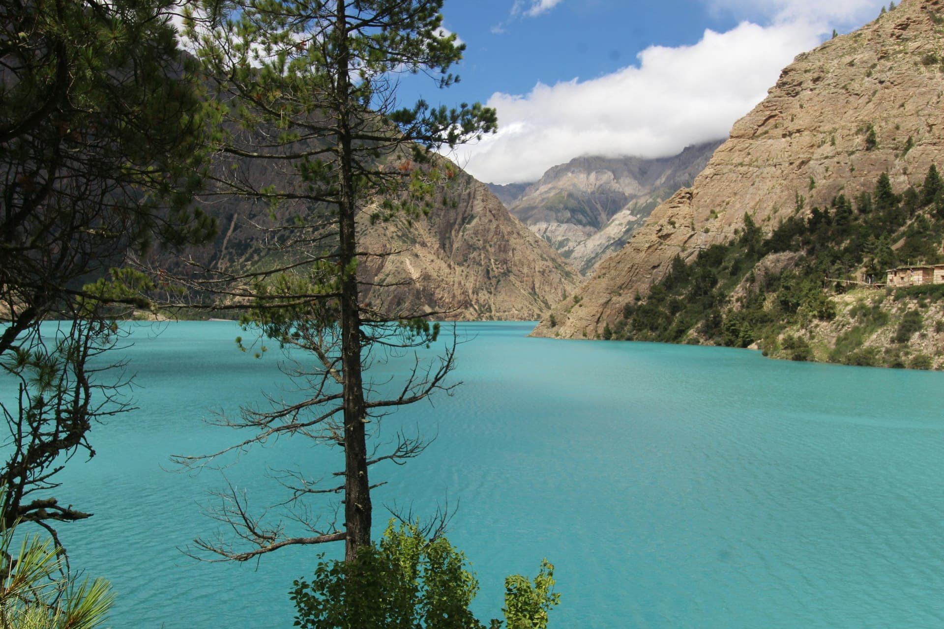
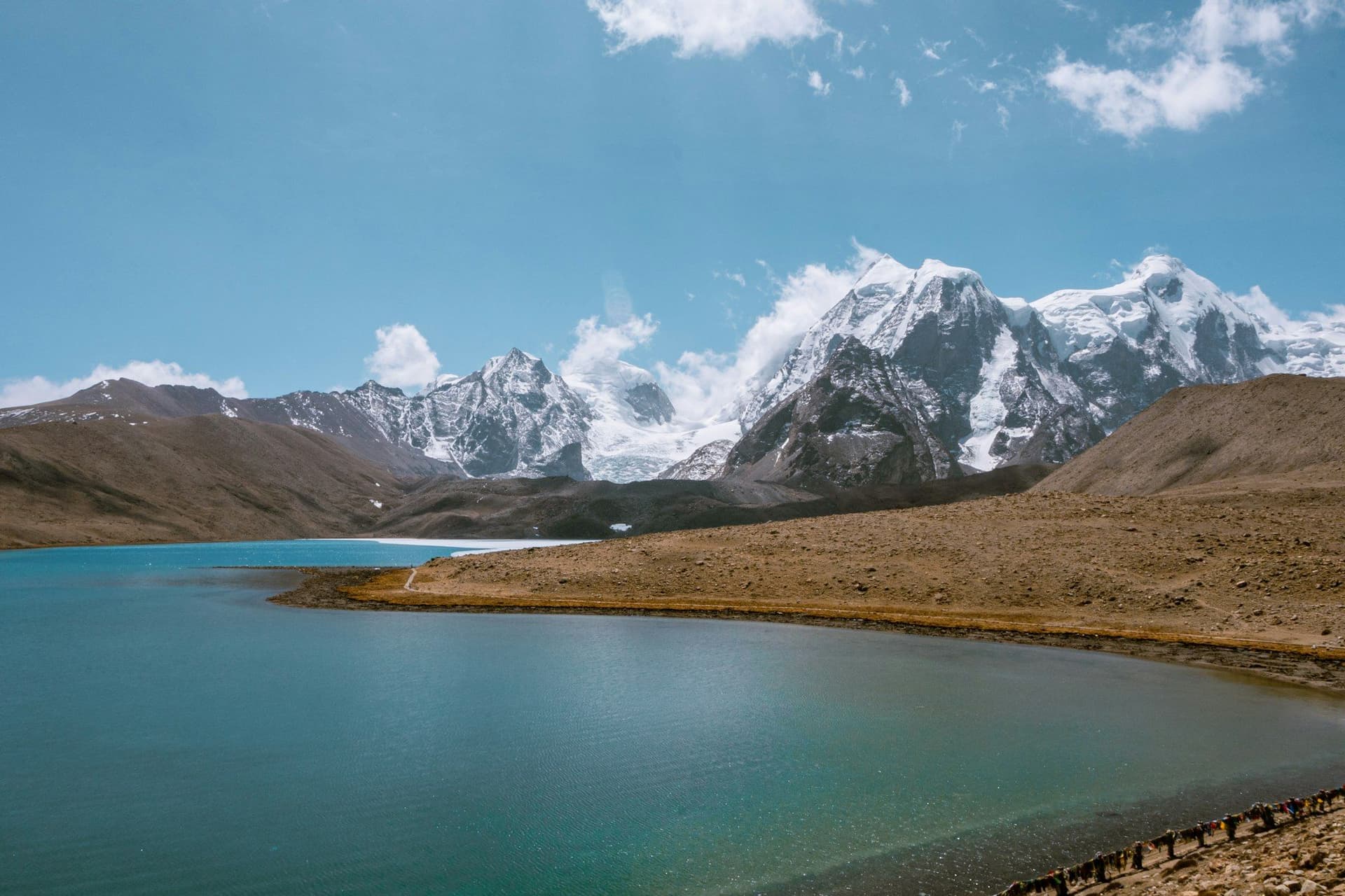
Phoksundo is the deepest lake in Nepal — about 145 metres — sitting at 3,611 metres in Shey Phoksundo National Park, which at 3,555 square kilometres is the largest national park in the country. The water is an improbable turquoise, held behind a natural dam of glacial debris that once blocked the valley.
Ten days, no pass, and the cheap Dolpo permit rather than the expensive one. This is the short way into a region that otherwise demands three weeks.
The route
Fly to Juphal and walk down to the Thuli Bheri and up to Dunai, the district centre. From there the trail turns north into the Suligad gorge, narrow and wooded, crossing and recrossing the river to Chhepka and Chunuwar.
The climb out of Palam is the work of the trek. It passes the Phoksundo waterfall — one of the highest single drops in Nepal — and finishes on a ridge where the lake appears without warning.
Ringmo on the shore is a Bon village, the pre-Buddhist Tibetan tradition, and the Tshowa monastery above it is around nine hundred years old. The shelf path along the western cliff is the one in Éric Valli's Himalaya, and you can walk it as far as the ridge before the Upper Dolpo boundary stops you.
What it costs
Between USD 1,100 and 1,900, and the spread is almost entirely flights. The Kathmandu–Nepalgunj–Juphal legs are the expensive part and the least reliable; the walking itself is cheap by Nepali standards because there is very little to spend money on.
Getting the season right
Dolpo is behind the main range and takes far less monsoon than the Annapurnas or the Khumbu. That makes July and August genuinely walkable on the ground, which is unusual in Nepal, and it is why Dolpo turns up on every list of monsoon trekking options.
The catch is the flight. Juphal needs clear morning air, and a cancelled flight is not a delay of hours but of days. Whatever month you choose, arrive with spare time at both ends.
Day by day
The 10 days itinerary
Distances, walking times, altitudes and accommodation for every stage — stored as structured data, not written into the prose.
- Day 1
Kathmandu to Nepalgunj
Kathmandu (1,400 m) → Nepalgunj (150 m)
- Walking
- 1 hour by air
- Altitude
- 1,400 m → 150 m
- Sleep
- Hotel, Nepalgunj
- Meals
- Dinner
Nepalgunj sits on the Terai plain a few kilometres from the Indian border and is hot for most of the year. Every flight into Dolpo starts here, and the early-morning slot is the one that flies.
- Day 2
Nepalgunj to Juphal, walk to Dunai
Nepalgunj (150 m) → Juphal (2,475 m) → Dunai (2,140 m)
- Distance
- 8 km
- Walking
- 3 hours after the flight
- Altitude
- 150 m → 2,140 m
- Elevation
- −335 m
- Sleep
- Lodge, Dunai
- Meals
- Breakfast, lunch, dinner
Juphal is a short strip cut into the hillside and the flight only goes in clear morning air. From the airstrip the path drops to the Thuli Bheri and follows it upstream to Dunai, the administrative centre of Dolpa district and the last place with shops worth the name.
- The Juphal airstrip
- First sight of the Thuli Bheri
- Dunai bazaar
- Day 3
Dunai to Chhepka
Dunai (2,140 m) → Suligad → Chhepka (2,838 m)
- Distance
- 15 km
- Walking
- 6 hours
- Altitude
- 2,140 m → 2,838 m
- Elevation
- +700 m
- Sleep
- Lodge, Chhepka
- Meals
- Breakfast, lunch, dinner
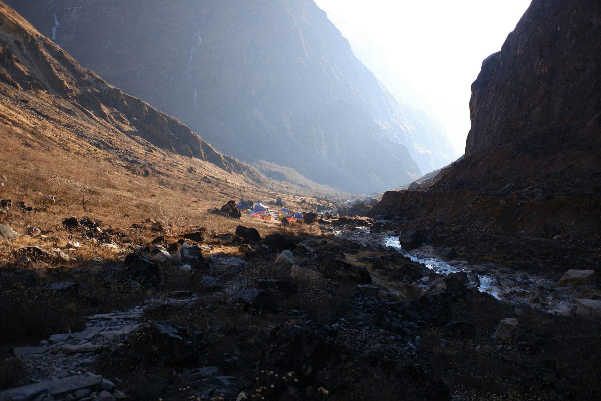
The route leaves the Thuli Bheri and turns north up the Suligad, entering Shey Phoksundo National Park at the checkpost where permits are recorded. The gorge is narrow and wooded, and the path crosses the river repeatedly on timber bridges.
- The Suligad gorge
- National park checkpost
- Blue pine and walnut
- Day 4
Chhepka to Chunuwar
Chhepka (2,838 m) → Rechi → Chunuwar (3,110 m)
- Distance
- 13 km
- Walking
- 5 hours
- Altitude
- 2,838 m → 3,110 m
- Elevation
- +400 m / −130 m
- Sleep
- Lodge, Chunuwar
- Meals
- Breakfast, lunch, dinner
The valley opens and the architecture changes — flat roofs, stacked firewood, prayer flags. Chunuwar has an amchi hospital practising Tibetan medicine, which serves a district with almost no other health provision.
- Amchi hospital at Chunuwar
- First Tibetan-influenced villages
- Day 5
Chunuwar to Phoksundo Lake
Chunuwar (3,110 m) → Palam → Ringmo (3,611 m)
- Distance
- 9 km
- Walking
- 5 hours
- Altitude
- 3,110 m → 3,611 m
- Elevation
- +550 m
- Sleep
- Lodge or camp, Ringmo
- Meals
- Breakfast, lunch, dinner
The steep climb out of Palam passes the Phoksundo waterfall, among the highest single drops in Nepal, and tops out on a ridge where the lake appears all at once. The colour is the thing people come for and it does not photograph the way it looks.
- Phoksundo waterfall
- The first view of the lake
- Ringmo village
- Day 6
Phoksundo Lake — rest day at Ringmo
Ringmo (3,611 m) and the lake shore
- Distance
- 6 km
- Walking
- 3 hours of easy walking
- Altitude
- 3,611 m → 3,611 m
- Sleep
- Lodge or camp, Ringmo
- Meals
- Breakfast, lunch, dinner
Ringmo is a Bon village — the pre-Buddhist Tibetan tradition, in which circumambulation runs anticlockwise. The Tshowa monastery on the ridge above the lake is around nine hundred years old. This is also the acclimatisation day, and it is worth taking.
- Tshowa Bon monastery
- The lake shore
- Ringmo's flat-roofed houses
- Day 7
Ringmo to the viewpoint and back
Ringmo (3,611 m) → ridge above the lake (4,040 m) → Ringmo
- Distance
- 8 km
- Walking
- 5 hours
- Altitude
- 3,611 m → 3,611 m
- Elevation
- +430 m / −430 m
- Sleep
- Lodge or camp, Ringmo
- Meals
- Breakfast, lunch, dinner
The path along the western shore climbs a shelf cut into the cliff — the one shown in Éric Valli's film *Himalaya* — and continues toward the Kang La and Upper Dolpo. Walk it as far as the ridge for the view down the whole lake, then turn round. Going further needs the Upper Dolpo permit.
- The full length of the lake from above
- The Kang La approach path
- Day 8
Ringmo to Chhepka
Ringmo (3,611 m) → Chunuwar (3,110 m) → Chhepka (2,838 m)
- Distance
- 22 km
- Walking
- 7 hours
- Altitude
- 3,611 m → 2,838 m
- Elevation
- −775 m
- Sleep
- Lodge, Chhepka
- Meals
- Breakfast, lunch, dinner
- Day 9
Chhepka to Juphal
Chhepka (2,838 m) → Dunai (2,140 m) → Juphal (2,475 m)
- Distance
- 23 km
- Walking
- 8 hours
- Altitude
- 2,838 m → 2,475 m
- Elevation
- +335 m / −700 m
- Sleep
- Lodge, Juphal
- Meals
- Breakfast, lunch, dinner
A long day, but sleeping at Juphal rather than Dunai means you are at the airstrip when the weather window opens rather than three hours below it.
- Day 10
Juphal to Nepalgunj and Kathmandu
Juphal (2,475 m) → Nepalgunj → Kathmandu (1,400 m)
- Walking
- 2 hours by air, with a connection
- Altitude
- 2,475 m → 1,400 m
- Meals
- Breakfast
Route map
Where the trail goes
Route line, start and end points, and every overnight stop. Locations are shared entities — the same record powers the destination and itinerary pages.
Frequently asked questions
How deep is Phoksundo?
Which permits do you need?
How hard is it?
Can you go on to Upper Dolpo from the lake?
When should you go?
What happens if the flight does not go?
About the author
Maya Thapa
Senior trekking writer
Maya has walked more than 4,000 kilometres of Nepal's trail network, from the teahouse highways of the Khumbu to the restricted valleys along the Tibetan border. She writes the route guides and day-by-day itineraries, and returns to most trails every second season to re-check lodge availability, water points and trail reroutes after monsoon damage.
Writes about: Nepal trekking · High-altitude routes · Teahouse logistics