Overview
Seven days up the Humla Karnali from Simikot to the Tibet border at Hilsa, over the Nara La at 4,620 metres. It is the old salt road — the corridor Humli traders used to move Nepali grain north and Tibetan salt south — and it is still the route pilgrims walk on their way to Mount Kailash.
Simikot is the district headquarters of Humla and one of the last in Nepal with no road to the rest of the country. Everything arrives on foot, on a mule, or in a Twin Otter.
The route
From Simikot the path drops to the river and follows it upstream through Dharapori and Kermi, where there are hot springs and the first unmistakably Tibetan villages — barley, flat roofs, gompas.
Yalbang has the largest monastery in Humla. Above Yari the trees give out and the country opens, and the Nara La takes you over into a landscape that has stopped being Nepal in every respect but the paperwork. Hilsa is a handful of buildings and a bridge over the Karnali.
What it costs
USD 1,300 to 2,400. The restricted-area permit is USD 50 for the first week, the Simikot flights are expensive and unreliable, and most groups add a helicopter out of Hilsa rather than walk the corridor twice.
A note on Kailash
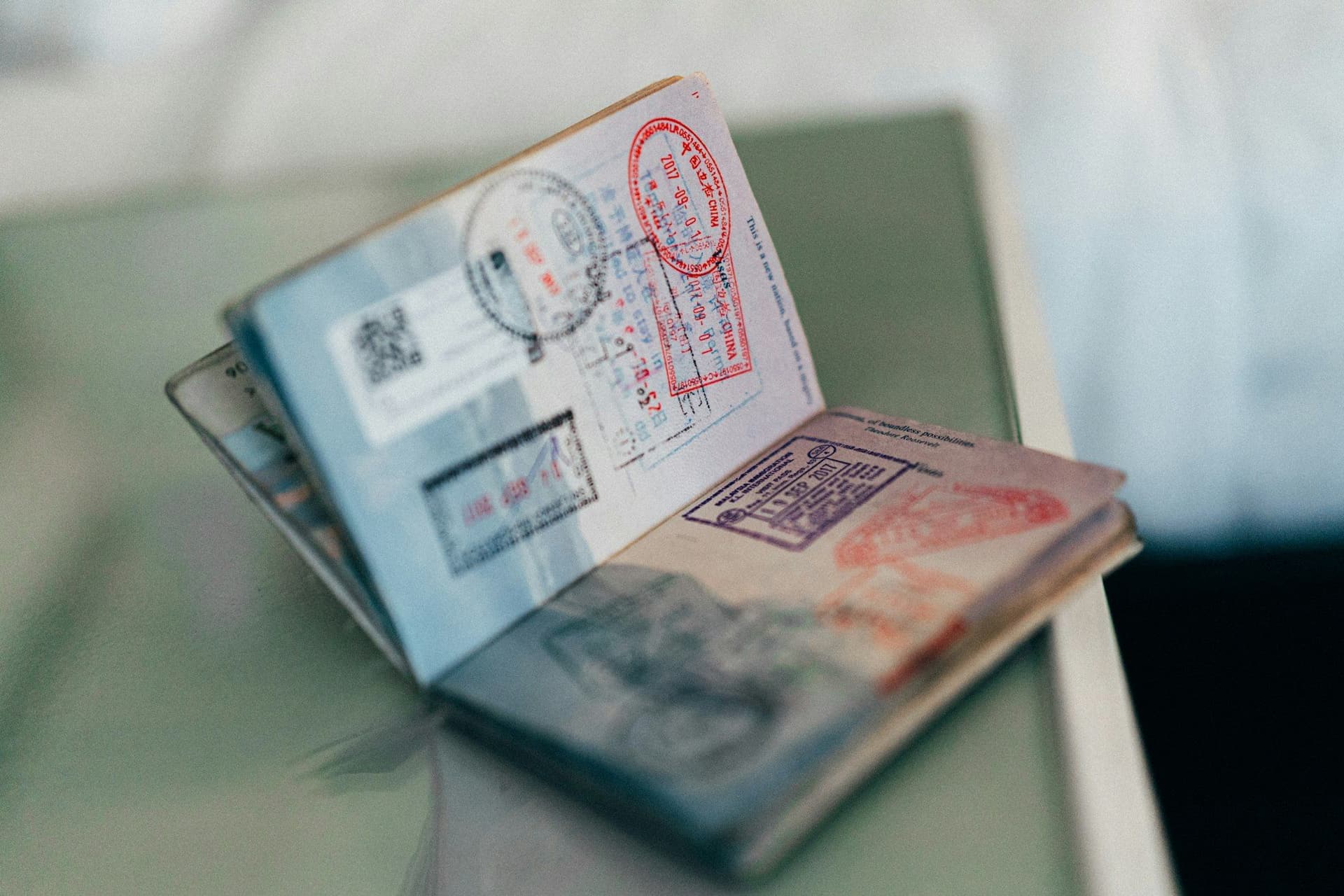
This trek is often sold as part of a Kailash pilgrimage, and the connection is real — but Kailash is in Tibet. Getting there requires a Chinese visa and a Tibet permit arranged through the Chinese side, and border practice has changed repeatedly in recent years. If Kailash is the point of the trip, confirm the crossing is open before you book the Nepali half.
Walked as far as Hilsa and back, it needs none of that.
Day by day
The 7 days itinerary
Distances, walking times, altitudes and accommodation for every stage — stored as structured data, not written into the prose.
- Day 1
Kathmandu to Nepalgunj
Kathmandu (1,400 m) → Nepalgunj (150 m)
- Walking
- 1 hour by air
- Altitude
- 1,400 m → 150 m
- Sleep
- Hotel, Nepalgunj
- Meals
- Dinner
- Day 2
Nepalgunj to Simikot, walk to Dharapori
Nepalgunj (150 m) → Simikot (2,950 m) → Dharapori (2,300 m)
- Distance
- 12 km
- Walking
- 5 hours after the flight
- Altitude
- 150 m → 2,300 m
- Elevation
- −650 m
- Sleep
- Lodge, Dharapori
- Meals
- Breakfast, lunch, dinner
Simikot is the district headquarters of Humla and one of the very few in Nepal still with no road connection to the rest of the country. The trail drops from the airstrip to the Humla Karnali and follows it upstream from here on.
- The Simikot airstrip
- First descent to the Humla Karnali
- Day 3
Dharapori to Kermi
Dharapori (2,300 m) → Kermi (2,670 m)
- Distance
- 11 km
- Walking
- 5 hours
- Altitude
- 2,300 m → 2,670 m
- Elevation
- +400 m
- Sleep
- Lodge, Kermi
- Meals
- Breakfast, lunch, dinner
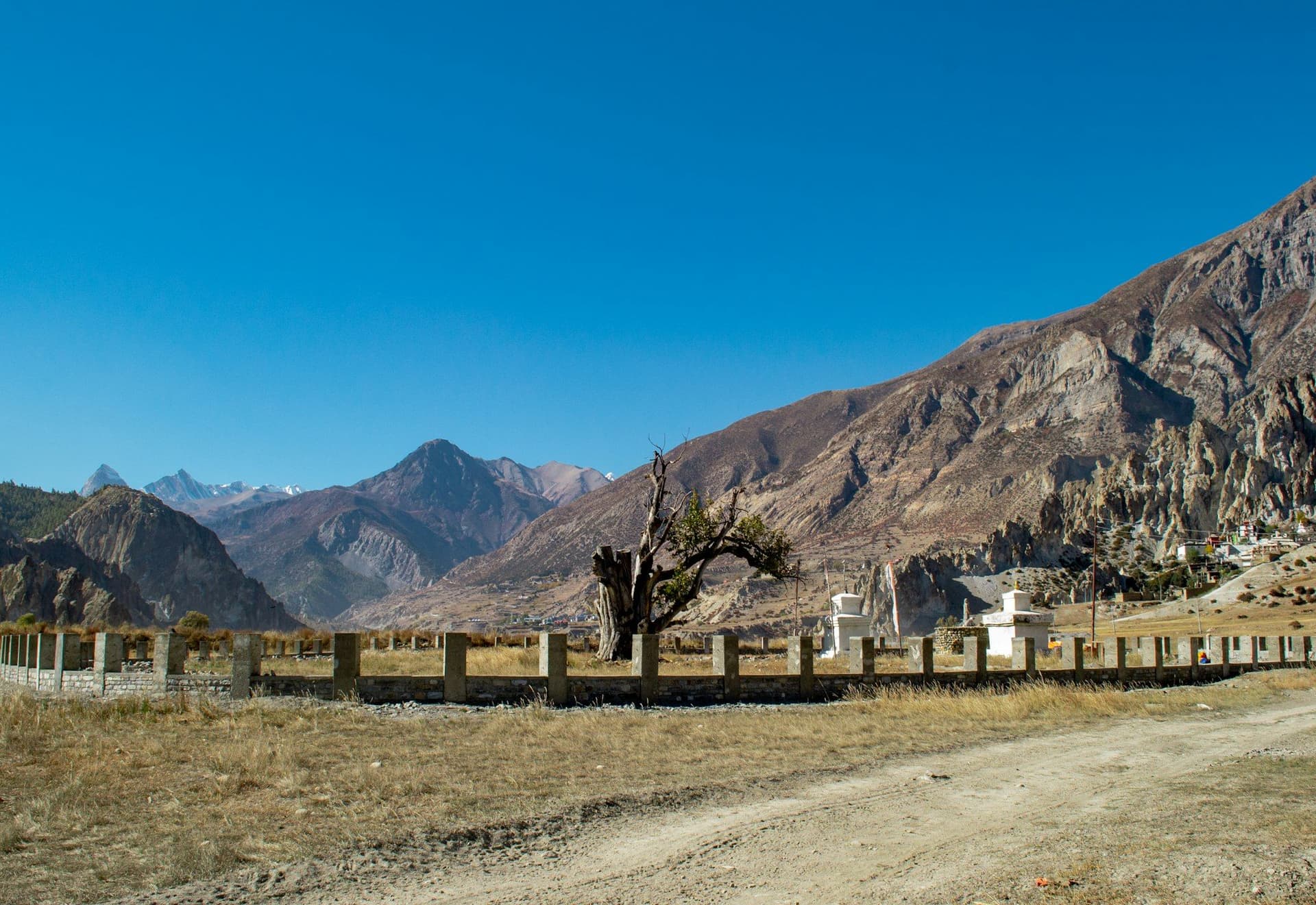
Kermi has two hot springs a short walk below the village, which is the last comfortable wash for several days. It is also where the valley starts reading as Tibetan rather than Nepali — barley instead of rice, flat roofs, and two small Buddhist gompas above the houses.
- Hot springs below the village
- Barley terraces
- Laikyo and Lhundrup Ling gompas
- Day 4
Kermi to Yalbang
Kermi (2,670 m) → Yangar → Yalbang (3,020 m)
- Distance
- 14 km
- Walking
- 6 hours
- Altitude
- 2,670 m → 3,020 m
- Elevation
- +500 m / −150 m
- Sleep
- Lodge, Yalbang
- Meals
- Breakfast, lunch, dinner
Much of the day is cut into the gorge wall high above the river. Yalbang has the Namkha Khyung Dzong monastery, the largest in Humla, with a monastic school attached — if the timing is right you can sit in on the morning session.
- Namkha Khyung Dzong monastery
- The Karnali gorge path
- Day 5
Yalbang to Tumkot and Yari
Yalbang (3,020 m) → Muchu → Yari (3,700 m)
- Distance
- 17 km
- Walking
- 7 hours
- Altitude
- 3,020 m → 3,700 m
- Elevation
- +800 m / −120 m
- Sleep
- Lodge or camp, Yari
- Meals
- Breakfast, lunch, dinner
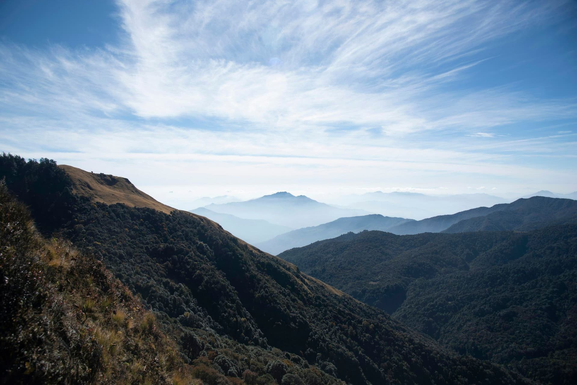
The trees thin out and stop. Yari sits in open country with the Nara La visible ahead, and the night here is cold in any season — this is the acclimatisation that makes the pass tomorrow reasonable.
- Tumkot gompa
- The tree line
- First open high country
- Day 6
Yari over the Nara La to Hilsa
Yari (3,700 m) → Nara La (4,620 m) → Hilsa (3,640 m)
- Distance
- 14 km
- Walking
- 7 hours
- Altitude
- 3,700 m → 3,640 m
- Elevation
- +920 m / −980 m
- Sleep
- Lodge, Hilsa
- Meals
- Breakfast, lunch, dinner
The pass is a long steady climb rather than a technical one, and from the top the land ahead stops looking like Nepal and starts looking like Tibet — brown, enormous and almost treeless. The descent to Hilsa is loose and hard on the knees. Hilsa is a border post on the Karnali with a bridge across to the Chinese side.
- Nara La
- The Tibetan plateau opening ahead
- The Karnali bridge at Hilsa
- Day 7
Hilsa out
Hilsa (3,640 m) → Simikot by helicopter, or begin the walk back
- Walking
- 25 minutes by air
- Altitude
- 3,640 m → 2,950 m
- Meals
- Breakfast
Most groups fly the short helicopter hop back to Simikot rather than rewalk the corridor. It is weather-dependent and not cheap, and the alternative is four more days on foot the way you came.
Route map
Where the trail goes
Route line, start and end points, and every overnight stop. Locations are shared entities — the same record powers the destination and itinerary pages.
Frequently asked questions
Is this the Kailash trek?
How does this differ from the Limi Valley trek?
What permits are needed?
How hard is it?
When should you go?
About the author
Tom Eriksen
Gear editor & photographer
Tom tests trekking equipment the only way that produces honest answers: by carrying it for weeks at a time above 4,000 metres. He shoots most of the photography on this site and writes the gear reviews, comparison tables and packing lists.
Writes about: Trekking gear · Photography · Packing and weight