Overview
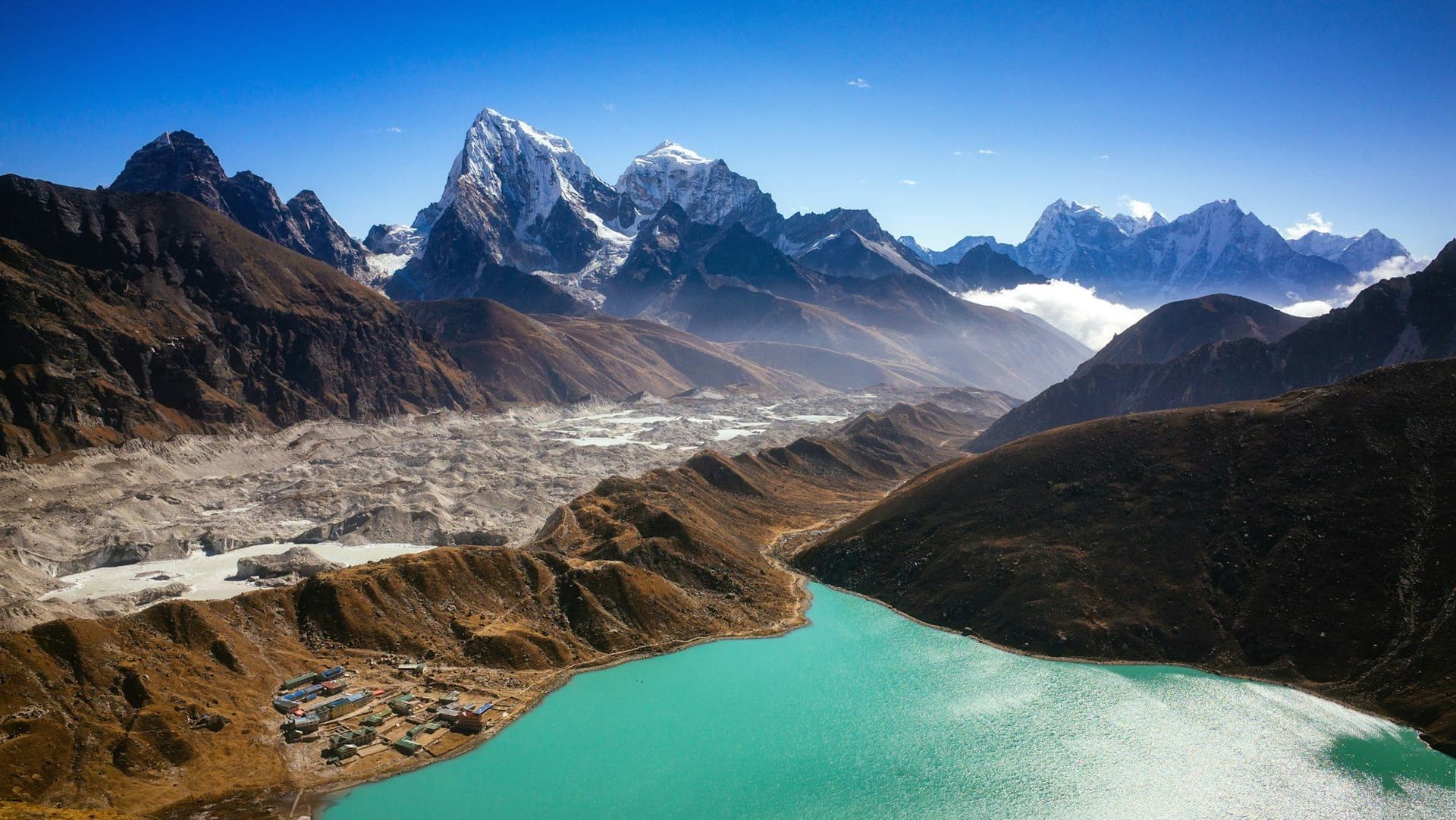
The Great Himalayan Trail runs the length of Nepal at the highest elevation that can be walked continuously — roughly 1,700 kilometres from Kanchenjunga on the Indian border in the east to Hilsa in Humla on the Tibetan border in the west.
About 150 days. Around 90,000 metres of cumulative ascent, which is ten Everests from sea level. It is the longest and highest trekking route in the world, and this record exists to be honest about what it is: not a trek you book, but a framework most people walk in pieces.
It is a concept, not a path
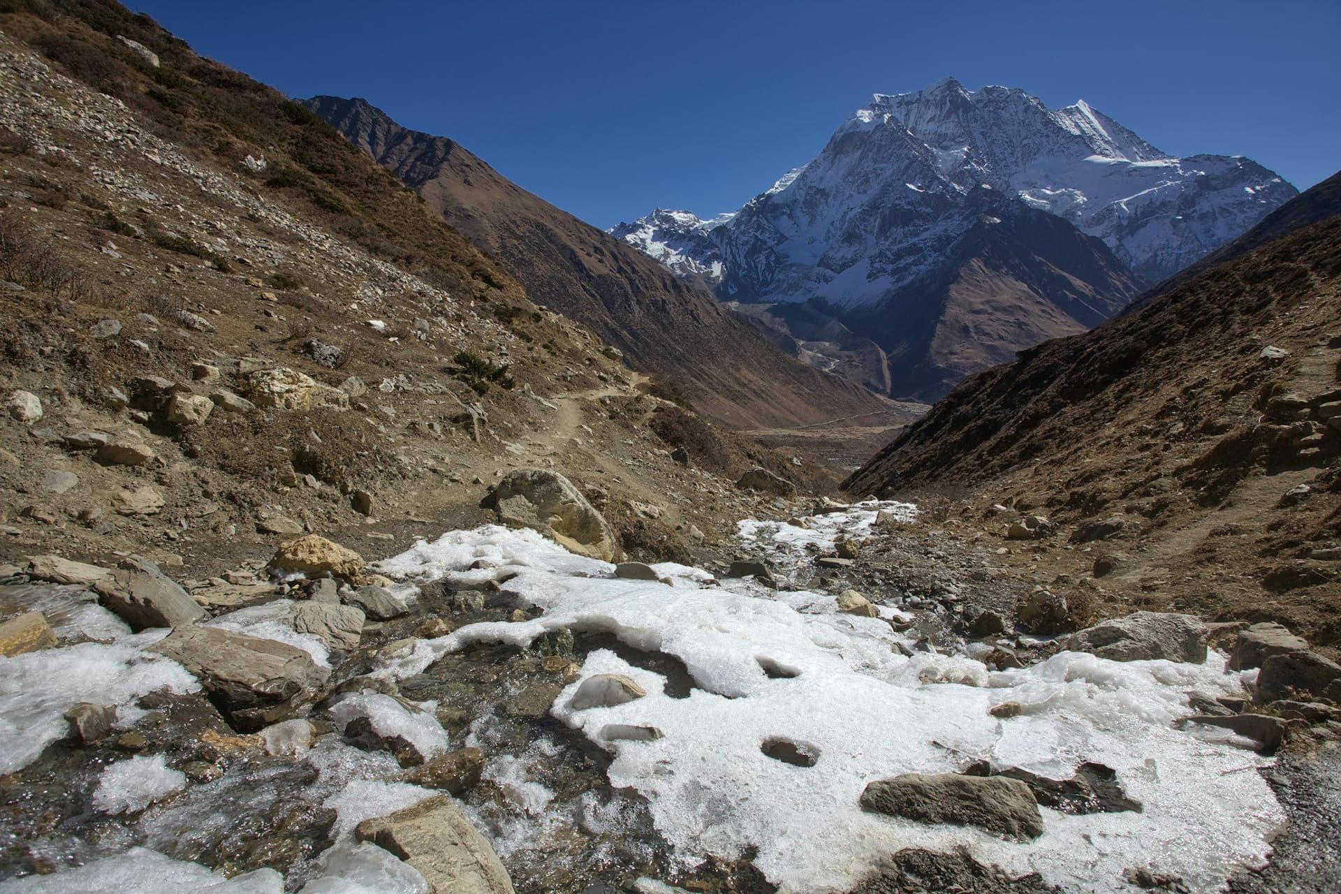
There are no GHT signposts, no dedicated huts, no trail association. The route links existing village trails, herders' paths and glacier crossings that have been used for centuries, joined into a continuous line by mapping work done from about 2009 onward by Nepali and international trekking bodies. The first single-season traverse was completed in 2011.
Two routes
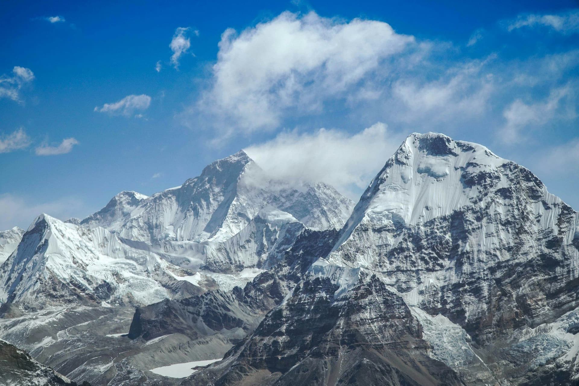
The High Route stays between 3,000 and 5,500 metres and crosses several glaciated passes — the Sherpani Col, West Col and Amphu Labtsa between Makalu and the Khumbu are above 6,000 m and need fixed ropes, crampons and a climbing crew. This is mountaineering with a long walk attached.
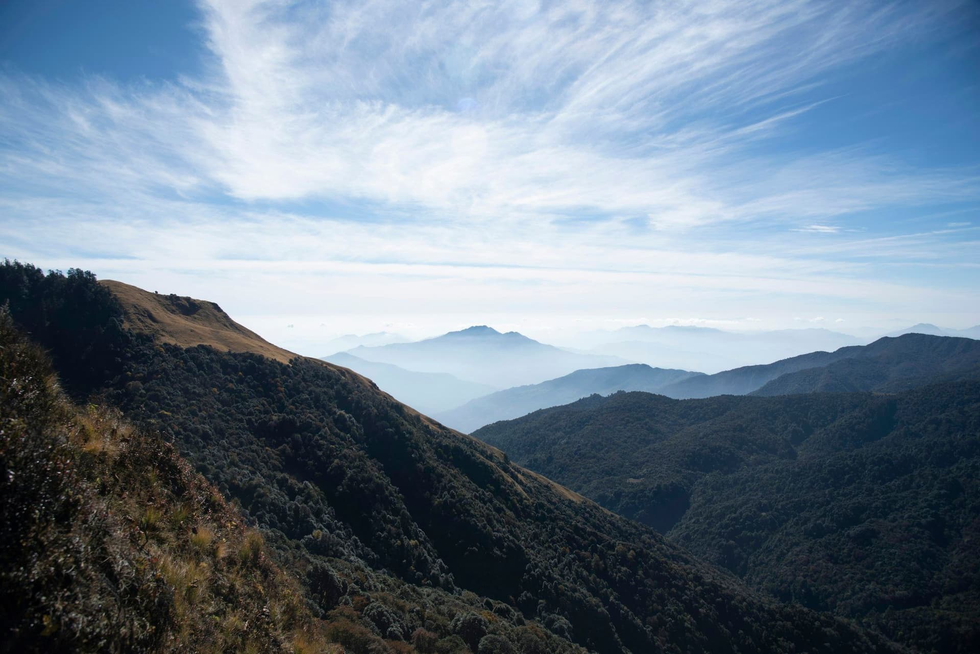
The Cultural Route runs lower through the middle hills. It is longer in distance, has villages and resupply throughout, and requires no technical skill — a very different and, for most walkers, more interesting journey.
Most itineraries mix the two, dropping low where the high line is impassable or the weather closes it.
The seven sections
Kanchenjunga · Makalu · Everest · Rolwaling and Langtang · Manaslu and Ganesh · Annapurna and Mustang · Dolpo · Humla and Rara. The exact divisions vary between operators.
This is how the trail is actually walked. Each section is a two-to-three-week expedition in its own right, and taking one a year for seven or eight years is both more achievable and, by most accounts of people who have done both, more rewarding than a single continuous push.
What it costs
Permits alone exceed USD 3,000 — Kanchenjunga, Makalu, Nar Phu, Manaslu, Tsum, Upper Mustang, Dolpo and Humla are all restricted areas, several at USD 500 per ten days. Add five months of crew, food, fuel, internal flights and resupply and a supported traverse runs USD 18,000 to 35,000 per person.
Season
There is no season that covers the whole traverse, which is part of why it is hard. East-to-west attempts usually start in the post-monsoon autumn to clear the eastern high passes, then run through winter in the middle hills and reach Dolpo and Humla in spring, when those rain-shadow regions open. Getting that sequencing right is most of the planning.
Who should consider it
Anyone drawn to it should walk two or three of the sections first — Kanchenjunga and Upper Dolpo are both in this Atlas — and then decide. Nobody has ever regretted doing it that way.
Route map
Where the trail goes
Route line, start and end points, and every overnight stop. Locations are shared entities — the same record powers the destination and itinerary pages.
Frequently asked questions
What actually is the Great Himalayan Trail?
High route or cultural route?
How long does it take?
How much does it cost?
What are the seven sections?
Is it marked or waymarked?
What is the hardest part?
About the author
Tom Eriksen
Gear editor & photographer
Tom tests trekking equipment the only way that produces honest answers: by carrying it for weeks at a time above 4,000 metres. He shoots most of the photography on this site and writes the gear reviews, comparison tables and packing lists.
Writes about: Trekking gear · Photography · Packing and weight