Overview
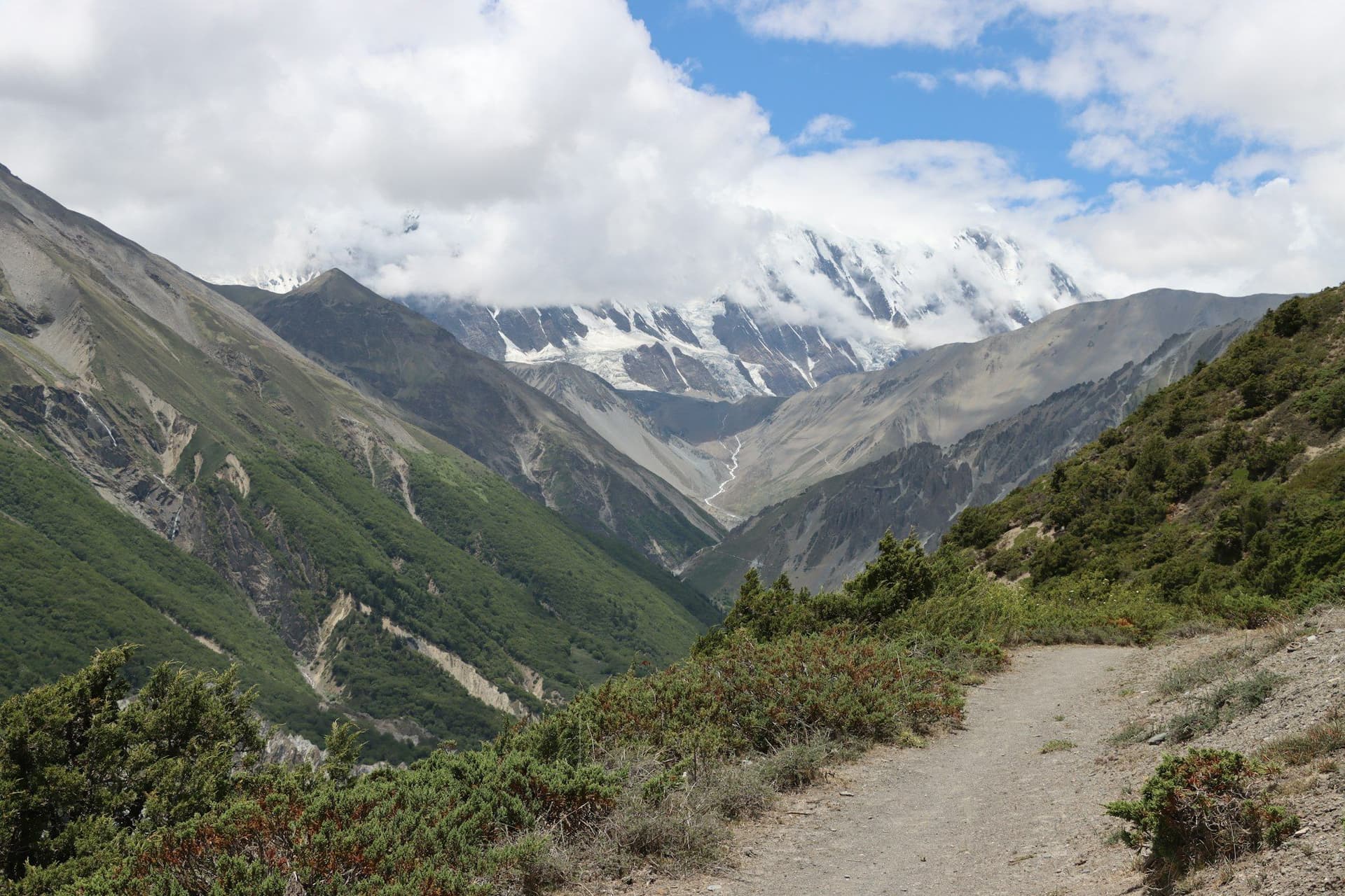
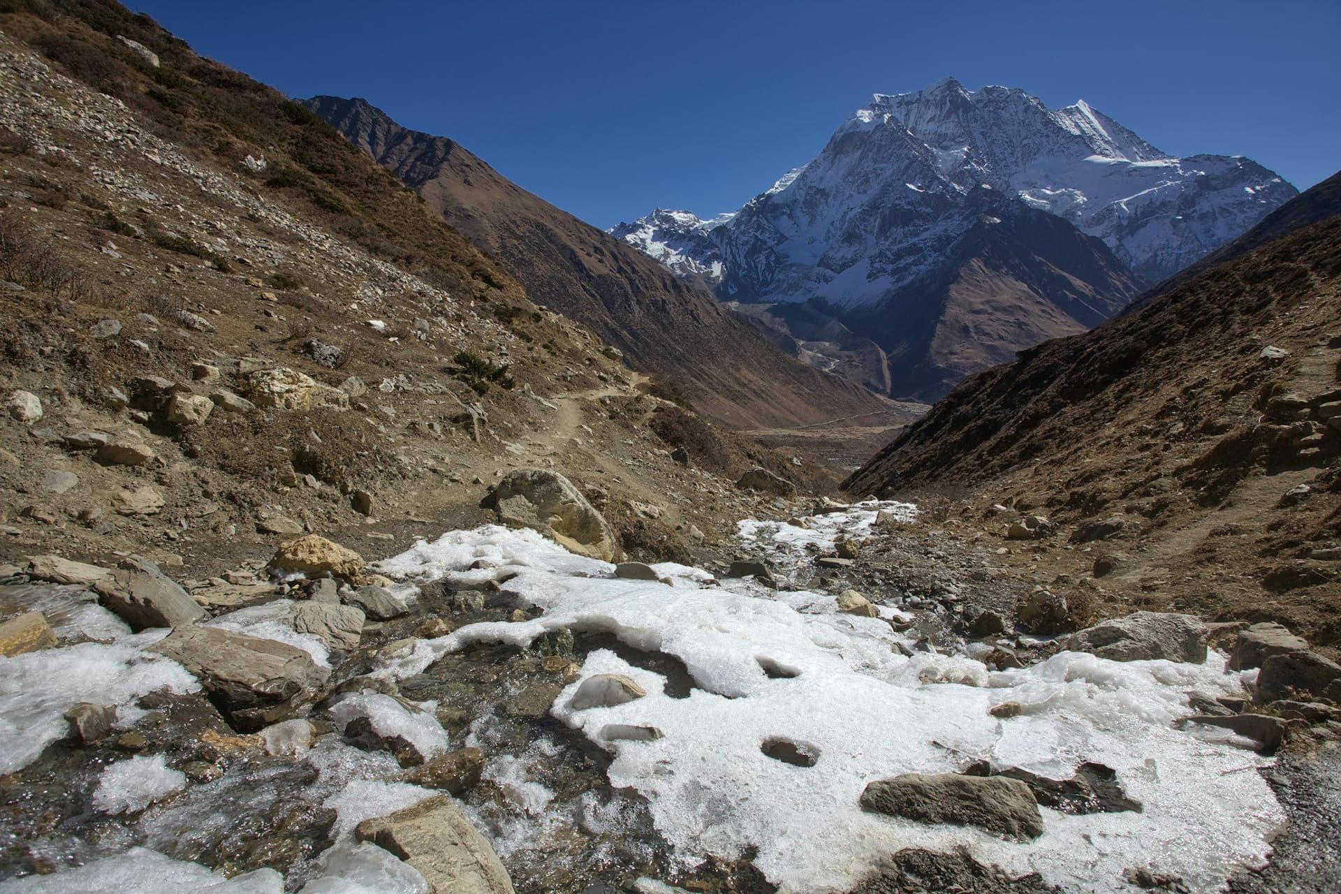
The Manaslu Circuit follows the Budhi Gandaki north from the middle hills into an enormous gorge, climbs through increasingly Tibetan villages to Samagaun beneath the south face of Manaslu, crosses Larke La at 5,106 m, and drops into the Annapurna Circuit at Dharapani.
It is roughly the same length as the classic Annapurna Circuit and considerably quieter, because the restricted-area permit system prices out casual traffic and mandates a guide.
What makes it different
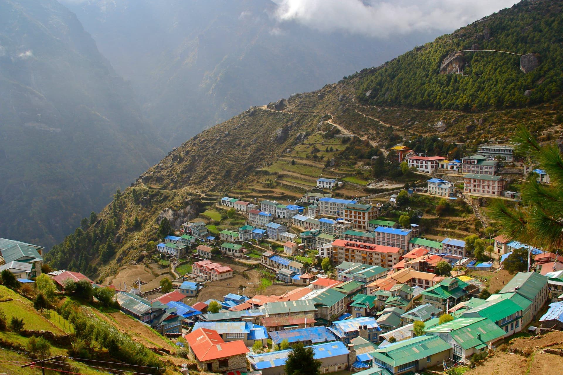
Three things. The gorge section in the first three days is genuinely spectacular and completely unlike the open valleys of Annapurna or Khumbu. The cultural gradient is sharper — you walk from Hindu middle-hill villages to Tibetan Buddhist ones in about four days. And the lodges are simpler, which keeps numbers down and changes the atmosphere on the trail.
Permits and logistics
You cannot obtain the restricted-area permit yourself. A registered agency applies on behalf of a group of at least two trekkers with a licensed guide, and the permit is checked at Jagat and Samagaun. The MCAP and ACAP fees are separate and issued in Kathmandu.
Day by day
The 14 days itinerary
Distances, walking times, altitudes and accommodation for every stage — stored as structured data, not written into the prose.
- Day 1
Kathmandu to Machha Khola
Kathmandu (1,400 m) → Machha Khola (870 m)
- Walking
- 8–9 hours by jeep
- Altitude
- 870 m
- Sleep
- Teahouse, Machha Khola
- Day 2
Machha Khola to Jagat
Machha Khola (870 m) → Jagat (1,340 m)
- Distance
- 22 km
- Walking
- 7 hours
- Altitude
- 870 m → 1,340 m
- Elevation
- +470 m
- Sleep
- Teahouse, Jagat
- Budhi Gandaki gorge
- Hot springs at Tatopani
- Restricted area checkpoint
- Day 3
Jagat to Deng
Jagat (1,340 m) → Deng (1,860 m)
- Distance
- 20 km
- Walking
- 7 hours
- Altitude
- 1,340 m → 1,860 m
- Elevation
- +520 m
- Sleep
- Teahouse, Deng
- Day 4
Deng to Namrung
Deng (1,860 m) → Namrung (2,630 m)
- Distance
- 19 km
- Walking
- 7 hours
- Altitude
- 1,860 m → 2,630 m
- Elevation
- +770 m
- Sleep
- Teahouse, Namrung
- First Tibetan-influenced villages
- Mani walls
- Day 5
Namrung to Samagaun
Namrung (2,630 m) → Lho → Samagaun (3,530 m)
- Distance
- 17 km
- Walking
- 7 hours
- Altitude
- 2,630 m → 3,530 m
- Elevation
- +900 m
- Sleep
- Teahouse, Samagaun
- First full view of Manaslu
- Ribung Gompa at Lho
- Day 6
Samagaun — acclimatisation day
Samagaun → Manaslu Base Camp (4,800 m) or Birendra Tal → Samagaun
- Distance
- 12 km
- Walking
- 6 hours
- Altitude
- 3,530 m → 3,530 m
- Elevation
- +1270 m / −1270 m
- Sleep
- Teahouse, Samagaun
- Manaslu Base Camp
- Birendra Tal glacial lake
- Day 7
Samagaun to Samdo
Samagaun (3,530 m) → Samdo (3,860 m)
- Distance
- 8 km
- Walking
- 4 hours
- Altitude
- 3,530 m → 3,860 m
- Elevation
- +330 m
- Sleep
- Teahouse, Samdo
A short day by design. Samdo is the last permanent village before the pass and sits within sight of an old trading route into Tibet.
- Day 8
Samdo to Dharamsala (Larke Phedi)
Samdo (3,860 m) → Dharamsala (4,460 m)
- Distance
- 7 km
- Walking
- 4 hours
- Altitude
- 3,860 m → 4,460 m
- Elevation
- +600 m
- Sleep
- Basic lodge, Dharamsala
Dharamsala is a handful of huts with no village and limited beds. Cold, crowded in season, and unavoidable.
- Day 9
Cross Larke La to Bimthang
Dharamsala (4,460 m) → Larke La (5,106 m) → Bimthang (3,590 m)
- Distance
- 25 km
- Walking
- 9–10 hours
- Altitude
- 4,460 m → 3,590 m
- Elevation
- +646 m / −1516 m
- Sleep
- Teahouse, Bimthang
Leave by 4 a.m. The ascent is steady rather than steep; the descent is long, loose and considerably harder than the climb.
- Larke La prayer flags
- Ponkar glacier
- Longest day of the trek
- Day 10
Bimthang to Dharapani
Bimthang (3,590 m) → Dharapani (1,860 m)
- Distance
- 25 km
- Walking
- 8 hours
- Altitude
- 3,590 m → 1,860 m
- Elevation
- −1730 m
- Sleep
- Teahouse, Dharapani
A long descent through rhododendron and pine into the Marsyangdi valley, joining the Annapurna Circuit at Dharapani.
Route map
Where the trail goes
Route line, start and end points, and every overnight stop. Locations are shared entities — the same record powers the destination and itinerary pages.
Frequently asked questions
Can I trek Manaslu without a guide?
How much do Manaslu permits cost?
Is Larke La harder than Thorong La?
About the author
Maya Thapa
Senior trekking writer
Maya has walked more than 4,000 kilometres of Nepal's trail network, from the teahouse highways of the Khumbu to the restricted valleys along the Tibetan border. She writes the route guides and day-by-day itineraries, and returns to most trails every second season to re-check lodge availability, water points and trail reroutes after monsoon damage.
Writes about: Nepal trekking · High-altitude routes · Teahouse logistics