Overview
Everyone who flies to Jumla is going to Rara. This walk goes the other way.
The Sinja valley, two days west over the Ghurchi Lagna, was the winter capital of the Khasa Malla kingdom from the twelfth century — and the Khas language spoken in it is the direct ancestor of modern Nepali. There is a twelfth-century temple still in use, the foundations of a palace, and inscribed stones lying in the barley.
Nine days, one pass, no restricted-area permit, and almost no foreign trekkers.
What is actually there
Kanaka Sundari is the temple, and it is still a working shrine rather than a monument. Around it are the palace foundations and a scatter of stone inscriptions, some in the fields, some built into later walls. This is not a managed archaeological site with signage and a ticket office. It is a valley that used to be a capital city, being farmed.
Come for that, or do not come. The walking is pleasant and the Kanjiroba is handsome to the north, but the reason to be here is the history.
Combining it with Rara
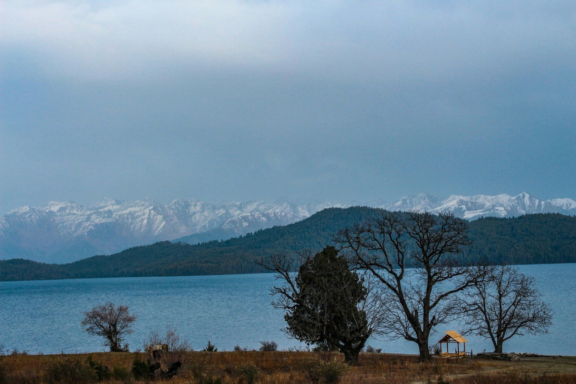
The two fit together and most people who do this trek do both. From the meadow at Chere Chaur you can turn north for Rara instead of dropping back to Jumla, walk to the lake, and fly out from Talcha — about fourteen days from Jumla in total, with the Rara National Park fee added.
Done that way it is one of the best two-week trips in western Nepal and still costs less than a week in the Annapurnas.
Conditions
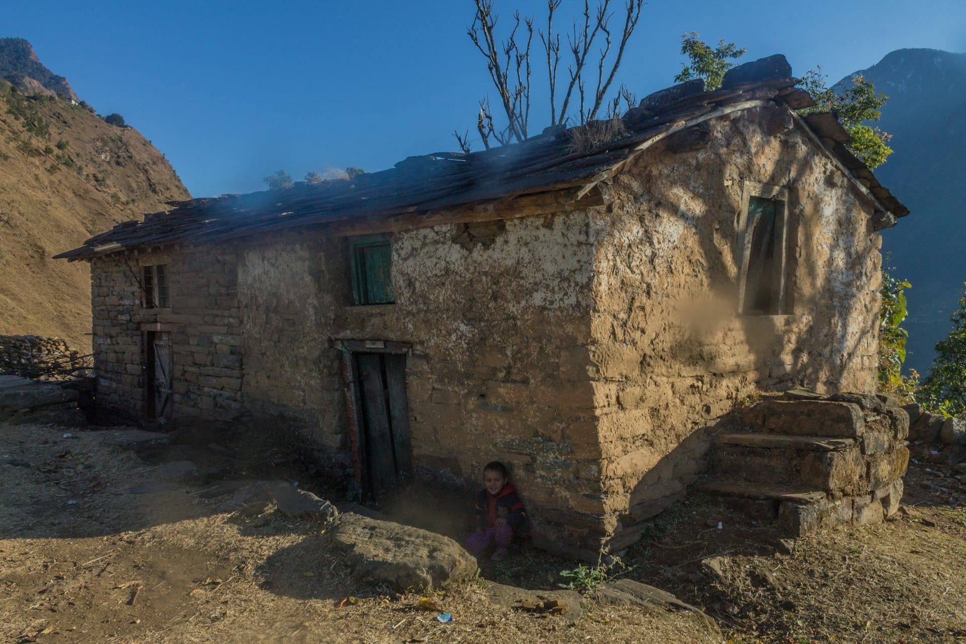
There is no lodge network. This is camping with staff, or homestays organised village by village. Jumla has simple lodges; after that you are in tents. The trails are working routes between villages rather than trekking paths, and they are rougher and less waymarked than anything in Annapurna or Khumbu.
Best season
April to June and September to November. Sinja is low enough that spring arrives early and autumn holds late. Unlike Dolpo and Humla this is not rain shadow, so the monsoon is a genuine monsoon and July and August are not the season.
Day by day
The 9 days itinerary
Distances, walking times, altitudes and accommodation for every stage — stored as structured data, not written into the prose.
- Day 1
Kathmandu to Nepalgunj
Kathmandu (1,400 m) → Nepalgunj (150 m)
- Walking
- 1 hour by air
- Altitude
- 1,400 m → 150 m
- Sleep
- Hotel, Nepalgunj
- Meals
- Dinner
- Day 2
Nepalgunj to Jumla
Nepalgunj (150 m) → Jumla (2,540 m)
- Walking
- 45 min by air
- Altitude
- 150 m → 2,540 m
- Sleep
- Lodge, Jumla
- Meals
- Breakfast, lunch, dinner
Jumla is the administrative centre of Karnali province and grows the highest-altitude rice in the world in the terraces around it. An afternoon here is worth having for the altitude as much as the market.
- Jumla bazaar
- The Tila valley
- Red rice terraces
- Day 3
Jumla to Gothichaur
Jumla (2,540 m) → Gothichaur (2,700 m)
- Distance
- 15 km
- Walking
- 5-6 hours
- Altitude
- 2,540 m → 2,700 m
- Elevation
- +500 m / −340 m
- Sleep
- Camp, Gothichaur
- Meals
- Breakfast, lunch, dinner
East up the Tila and then into a broad meadow ringed by pine — a summer grazing ground, with a stone water spout dating from the Malla period at the edge of it.
- Alpine meadow at Gothichaur
- Old Malla-era water spout
- Pine forest
- Day 4
Gothichaur to Padmara
Gothichaur (2,700 m) → Padmara (3,100 m)
- Distance
- 14 km
- Walking
- 5-6 hours
- Altitude
- 2,700 m → 3,100 m
- Elevation
- +700 m / −300 m
- Sleep
- Camp, Padmara
- Meals
- Breakfast, lunch, dinner
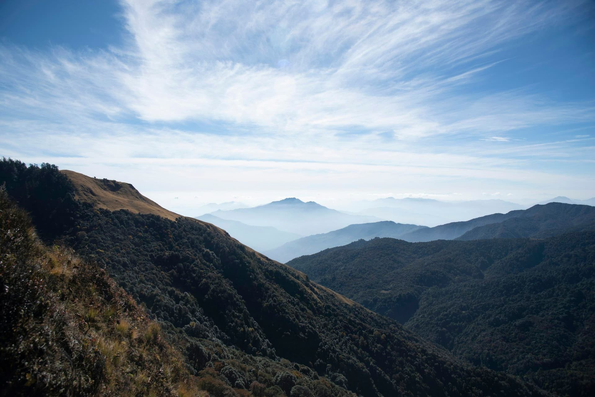
A day of ridges and pasture with the Kanjiroba Himal showing to the north. The trail is a working route between villages, not a trekking trail, and it behaves like one.
- Ridge crossings
- Herders' shelters
- Views north to the Kanjiroba range
- Day 5
Padmara over the Ghurchi Lagna to Sinja
Padmara (3,100 m) → Ghurchi Lagna (3,620 m) → Sinja (2,400 m)
- Distance
- 18 km
- Walking
- 7 hours
- Altitude
- 3,100 m → 2,400 m
- Elevation
- +560 m / −1260 m
- Sleep
- Camp or homestay, Sinja
- Meals
- Breakfast, lunch, dinner
The high point of the trek and a long day. Over the Ghurchi Lagna, then a sustained descent through birch and pine into the broad, cultivated floor of the Sinja valley.
- Ghurchi Lagna pass
- Chorten and prayer flags
- The descent into the Sinja valley
- Day 6
Sinja — the Khasa Malla capital
Sinja (2,400 m), day walks
- Distance
- 8 km
- Walking
- 3-4 hours
- Altitude
- 2,400 m → 2,400 m
- Sleep
- Camp or homestay, Sinja
- Meals
- Breakfast, lunch, dinner
Sinja was the winter capital of the Khasa Malla kingdom from the twelfth century, and the Khas language spoken here is the ancestor of modern Nepali. What survives is the Kanaka Sundari temple, scattered palace foundations and inscribed stones in the fields.
- Kanaka Sundari temple
- Malla palace ruins
- Stone inscriptions
- Day 7
Sinja to Chere Chaur
Sinja (2,400 m) → Chere Chaur (3,050 m)
- Distance
- 14 km
- Walking
- 6 hours
- Altitude
- 2,400 m → 3,050 m
- Elevation
- +850 m / −200 m
- Sleep
- Camp, Chere Chaur
- Meals
- Breakfast, lunch, dinner
Back up out of the valley on a different line to a meadow camp on the ridge. This is the point at which parties heading on to Rara turn north instead.
- Climb out of the valley
- Open meadow camp
- Evening light on the Kanjiroba
- Day 8
Chere Chaur to Jumla
Chere Chaur (3,050 m) → Jumla (2,540 m)
- Distance
- 12 km
- Walking
- 4-5 hours
- Altitude
- 3,050 m → 2,540 m
- Elevation
- +150 m / −660 m
- Sleep
- Lodge, Jumla
- Meals
- Breakfast, lunch, dinner
A short descending day back to the airstrip town. Sleep in Jumla — the flight is early and it is the only place with rooms.
- Day 9
Jumla to Nepalgunj and Kathmandu
Jumla (2,540 m) → Nepalgunj (150 m) → Kathmandu (1,400 m)
- Walking
- 2 hours by air
- Altitude
- 2,540 m → 1,400 m
- Meals
- Breakfast
Both legs are weather-dependent. Leave a spare day at the Kathmandu end.
Route map
Where the trail goes
Route line, start and end points, and every overnight stop. Locations are shared entities — the same record powers the destination and itinerary pages.
Frequently asked questions
Why go to Sinja rather than Rara?
Can I combine it with Rara Lake?
Do I need a special permit?
Are there teahouses?
How hard is it?
When should I go?
About the author
Maya Thapa
Senior trekking writer
Maya has walked more than 4,000 kilometres of Nepal's trail network, from the teahouse highways of the Khumbu to the restricted valleys along the Tibetan border. She writes the route guides and day-by-day itineraries, and returns to most trails every second season to re-check lodge availability, water points and trail reroutes after monsoon damage.
Writes about: Nepal trekking · High-altitude routes · Teahouse logistics