Overview
Tsum Valley branches east off the Manaslu trail at Lokpa and runs up to the Tibetan border. It was closed to outsiders until 2008 and remains a restricted area, which is a large part of why it still feels the way it does.
The valley's Tibetan name, Tsum, means vivid. Its people are Tsumbas, ethnically and linguistically Tibetan, and the culture is Nyingma Buddhist right through — gompas, chortens, mani walls hundreds of metres long, and a valley-wide vow against killing animals that has held since 1920.
Route
The first three days share the Manaslu Circuit: a hot, deep gorge on the Budhi Gandaki with the trail blasted into the rockface. At Lokpa the circuit carries on north and Tsum turns east — and the crowds simply stop.
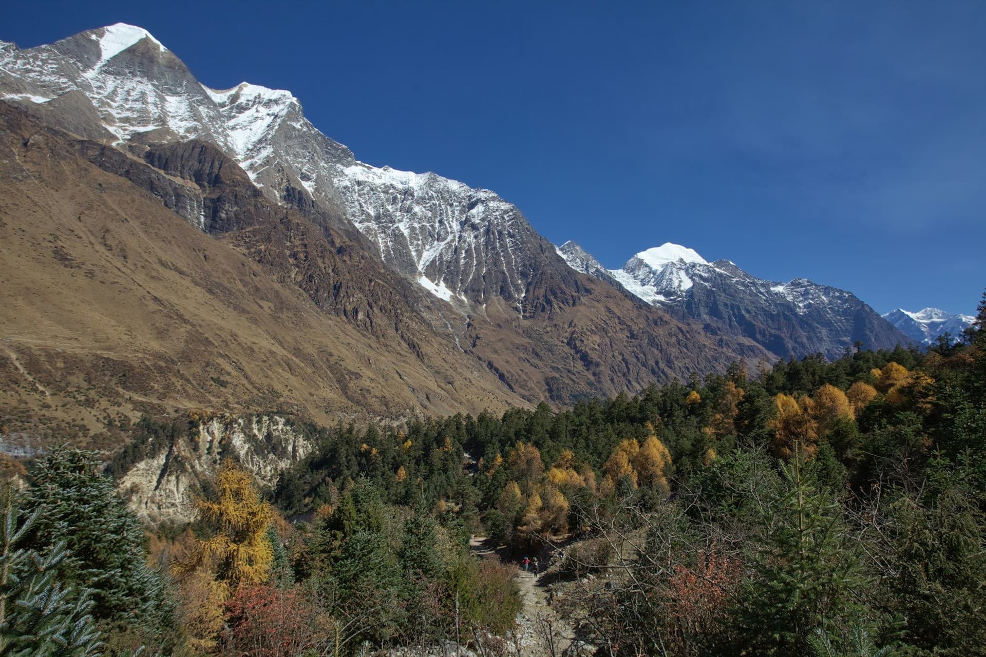
Chhokangparo is where the valley opens into Upper Tsum, and the change is abrupt: flat-roofed stone houses, barley terraces, and Ganesh Himal filling the southern skyline.
Beyond it are the valley's two great religious sites — Rachen Nunnery at 3,240 m, home to around a hundred nuns, and Mu Gompa at 3,700 m, the highest monastery in the valley, an hour below the Tibetan frontier.
What it is not
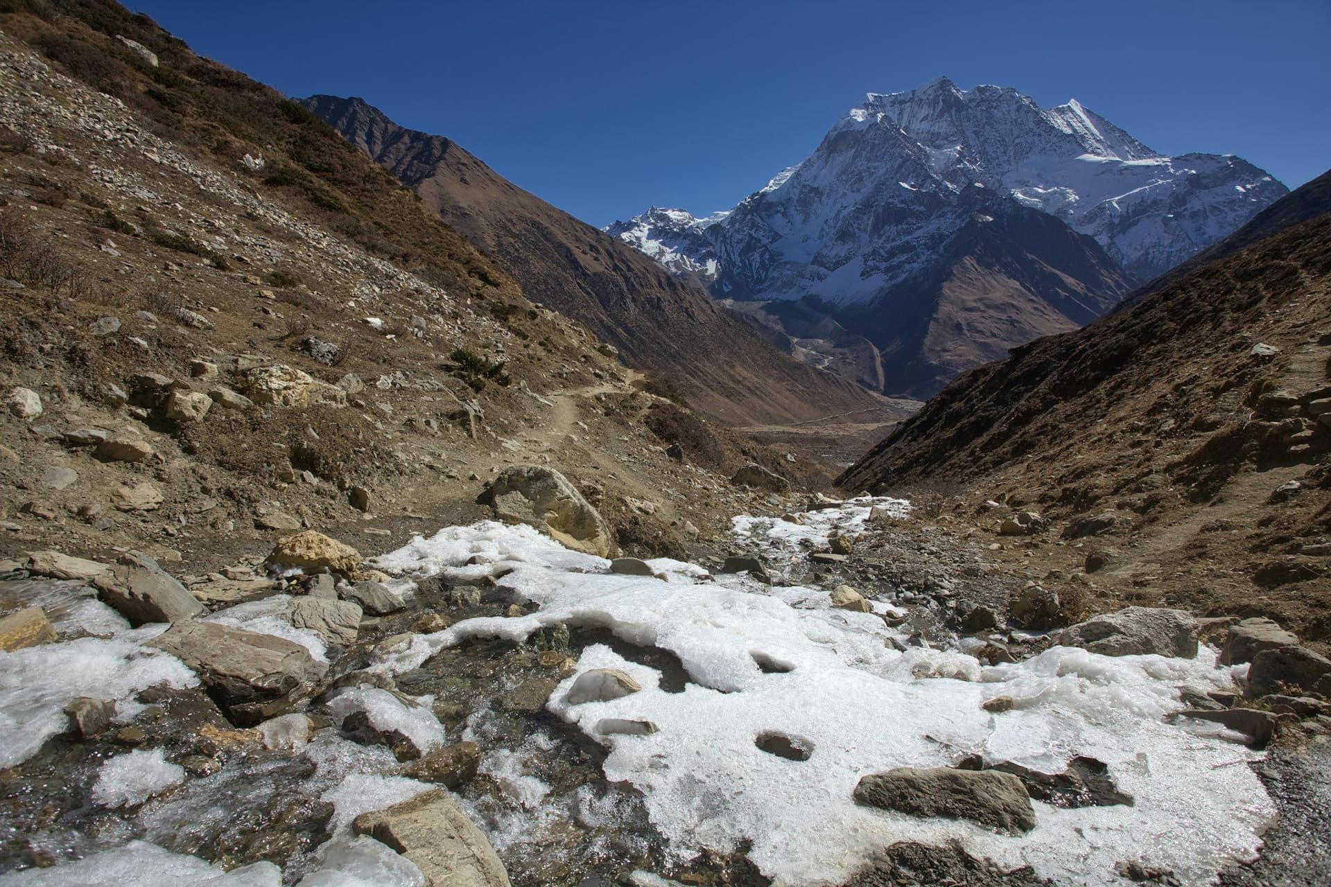
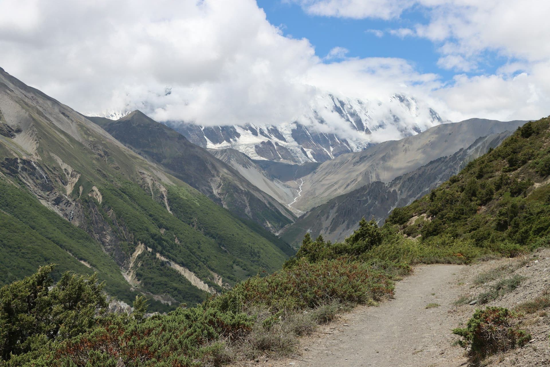
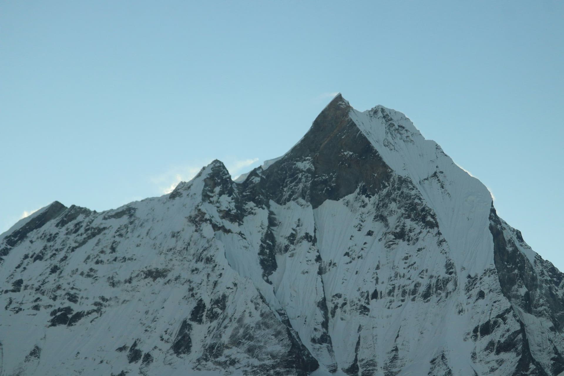
This is not a mountain-view trek in the way Everest or Annapurna are. Ganesh Himal and Baudha Himal are visible from Upper Tsum, but the summits are not the point. It is a cultural trek — the most intact Tibetan Buddhist valley left in Nepal, walked by a few hundred people a year.
If you want a big pass and 5,000-metre panoramas, do the Manaslu Circuit. If you want somewhere that has barely changed, come here.
Practicalities
Lodges are basic and, in the upper valley, often homestays — a room in a family house, dal bhat cooked on the same fire. Electricity is solar and intermittent. Carry cash; there is nowhere to draw money after Arughat.
The permit must be arranged through a registered agency, with a licensed guide and a minimum of two trekkers. Solo trekking is not permitted.
Best season
October and November for stable weather and clear air, March to May for rhododendron in the lower gorge and warmer nights. Avoid the monsoon: the gorge section is landslide-prone and the road to Arughat frequently closes.
Day by day
The 12 days itinerary
Distances, walking times, altitudes and accommodation for every stage — stored as structured data, not written into the prose.
- Day 1
Kathmandu to Machha Khola
Kathmandu (1,400 m) → Arughat → Machha Khola (870 m)
- Walking
- 8–9 hours by road
- Altitude
- 1,400 m → 870 m
- Sleep
- Teahouse, Machha Khola
- Meals
- Lunch, dinner
A long, rough drive west and then north up the Budhi Gandaki valley. The road surface deteriorates steadily after Arughat.
- Day 2
Machha Khola to Jagat
Machha Khola (870 m) → Khorlabesi → Tatopani → Jagat (1,340 m)
- Distance
- 22 km
- Walking
- 7 hours
- Altitude
- 870 m → 1,340 m
- Elevation
- +640 m
- Sleep
- Teahouse, Jagat
- Meals
- Breakfast, lunch, dinner
The gorge narrows and the trail is cut into the rock above the river. Jagat is the restricted-area checkpoint — permits are inspected here.
- Tatopani hot springs
- Budhi Gandaki gorge
- Day 3
Jagat to Lokpa
Jagat (1,340 m) → Philim → Lokpa (2,240 m)
- Distance
- 16 km
- Walking
- 6 hours
- Altitude
- 1,340 m → 2,240 m
- Elevation
- +1000 m
- Sleep
- Teahouse, Lokpa
- Meals
- Breakfast, lunch, dinner
At Lokpa the trail forks. The Manaslu Circuit continues north; Tsum turns east into its own valley, and the traffic drops to almost nothing.
- Day 4
Lokpa to Chumling
Lokpa (2,240 m) → Gumlung → Chumling (2,386 m)
- Distance
- 10 km
- Walking
- 5 hours
- Altitude
- 2,240 m → 2,386 m
- Elevation
- +500 m / −350 m
- Sleep
- Teahouse, Chumling
- Meals
- Breakfast, lunch, dinner
- First Ganesh Himal views
- Chumling gompa
- Day 5
Chumling to Chhokangparo
Chumling (2,386 m) → Rainjam → Chhokangparo (3,010 m)
- Distance
- 14 km
- Walking
- 6 hours
- Altitude
- 2,386 m → 3,010 m
- Elevation
- +700 m
- Sleep
- Homestay, Chhokangparo
- Meals
- Breakfast, lunch, dinner
The valley widens into Upper Tsum — flat-roofed stone houses, barley fields and mani walls. The architecture is Tibetan from here on.
- Ganesh Himal
- Baudha Himal
- Upper Tsum opens out
- Day 6
Chhokangparo to Nile via Milarepa's Cave
Chhokangparo (3,010 m) → Piren Phu → Chhule → Nile (3,361 m)
- Distance
- 13 km
- Walking
- 5 hours
- Altitude
- 3,010 m → 3,361 m
- Elevation
- +450 m
- Sleep
- Teahouse, Nile
- Meals
- Breakfast, lunch, dinner
Piren Phu is one of the valley's most sacred sites — a cave shrine where the yogi Milarepa is said to have meditated, with old frescoes and manuscripts.
- Piren Phu (Milarepa's cave)
- Mani walls
- Rachen Nunnery
- Day 7
Nile to Mu Gompa
Nile (3,361 m) → Mu Gompa (3,700 m)
- Distance
- 6 km
- Walking
- 3 hours
- Altitude
- 3,361 m → 3,700 m
- Elevation
- +340 m
- Sleep
- Monastery guesthouse, Mu Gompa
- Meals
- Breakfast, lunch, dinner
The highest and largest monastery in the valley, founded in 1895, an hour or so short of the Tibetan border. The head of the valley is bare, wide and very quiet.
- Mu Gompa
- Tibet border ridge
- Dhephyudonma Gompa
- Day 8
Mu Gompa to Burji Village
Mu Gompa (3,700 m) → Rachen Nunnery (3,240 m) → Burji (3,245 m)
- Distance
- 15 km
- Walking
- 6 hours
- Altitude
- 3,700 m → 3,245 m
- Elevation
- −460 m
- Sleep
- Homestay, Burji
- Meals
- Breakfast, lunch, dinner
- Rachen Nunnery
- Nuns' debating courtyard
- Day 9
Burji to Chumling
Burji (3,245 m) → Chhokangparo → Chumling (2,386 m)
- Distance
- 22 km
- Walking
- 7 hours
- Altitude
- 3,245 m → 2,386 m
- Elevation
- −860 m
- Sleep
- Teahouse, Chumling
- Meals
- Breakfast, lunch, dinner
- Day 10
Chumling to Philim
Chumling (2,386 m) → Lokpa → Philim (1,570 m)
- Distance
- 20 km
- Walking
- 7 hours
- Altitude
- 2,386 m → 1,570 m
- Elevation
- −820 m
- Sleep
- Teahouse, Philim
- Meals
- Breakfast, lunch, dinner
- Day 11
Philim to Machha Khola
Philim (1,570 m) → Jagat → Machha Khola (870 m)
- Distance
- 24 km
- Walking
- 8 hours
- Altitude
- 1,570 m → 870 m
- Elevation
- −700 m
- Sleep
- Teahouse, Machha Khola
- Meals
- Breakfast, lunch, dinner
- Day 12
Machha Khola to Kathmandu
Machha Khola (870 m) → Arughat → Kathmandu (1,400 m)
- Walking
- 8–9 hours by road
- Altitude
- 870 m → 1,400 m
- Sleep
- Hotel, Kathmandu
- Meals
- Breakfast
Route map
Where the trail goes
Route line, start and end points, and every overnight stop. Locations are shared entities — the same record powers the destination and itinerary pages.
Frequently asked questions
Why is Tsum Valley restricted?
What is the "no killing" vow?
Can you combine Tsum with the Manaslu Circuit?
How hard is it?
What is the Tsum Valley trek?
About the author
Maya Thapa
Senior trekking writer
Maya has walked more than 4,000 kilometres of Nepal's trail network, from the teahouse highways of the Khumbu to the restricted valleys along the Tibetan border. She writes the route guides and day-by-day itineraries, and returns to most trails every second season to re-check lodge availability, water points and trail reroutes after monsoon damage.
Writes about: Nepal trekking · High-altitude routes · Teahouse logistics