Overview
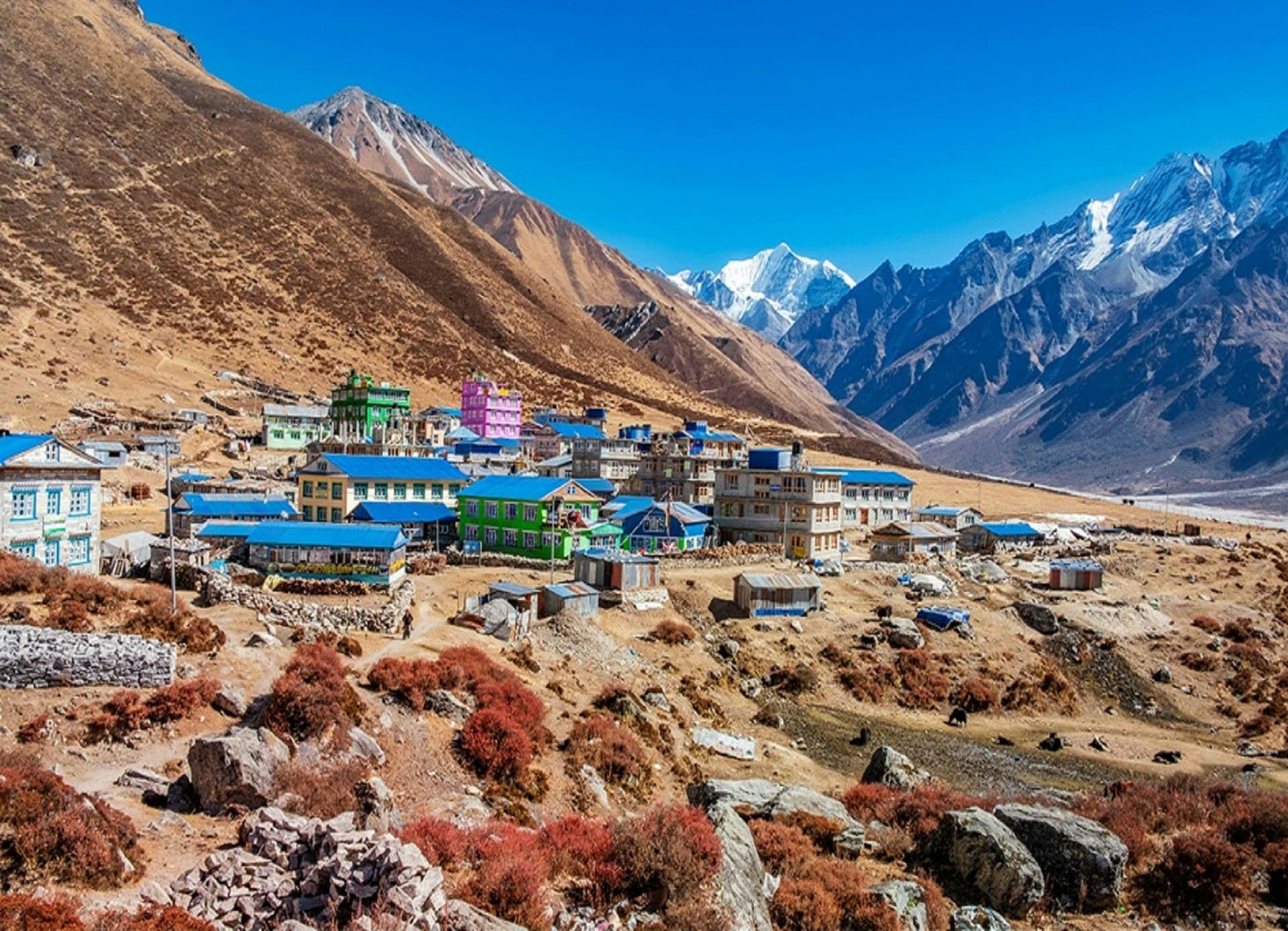
Langtang is the Himalayan valley you can reach in a single day from Kathmandu. The drive north to Syabrubesi is long and rough, but there is no flight to be cancelled and no acclimatisation crisis waiting at the far end — the valley climbs steadily from 1,500 m to 3,870 m at Kyanjin Gompa, which is close to an ideal profile.
In April 2015 an earthquake-triggered avalanche buried Langtang village and killed most of the people in it. The valley has since rebuilt, largely on its own terms and slightly further from the slope. Lodges are new, the welcome is genuine, and the trail sees a fraction of the Everest or Annapurna traffic.
The walking
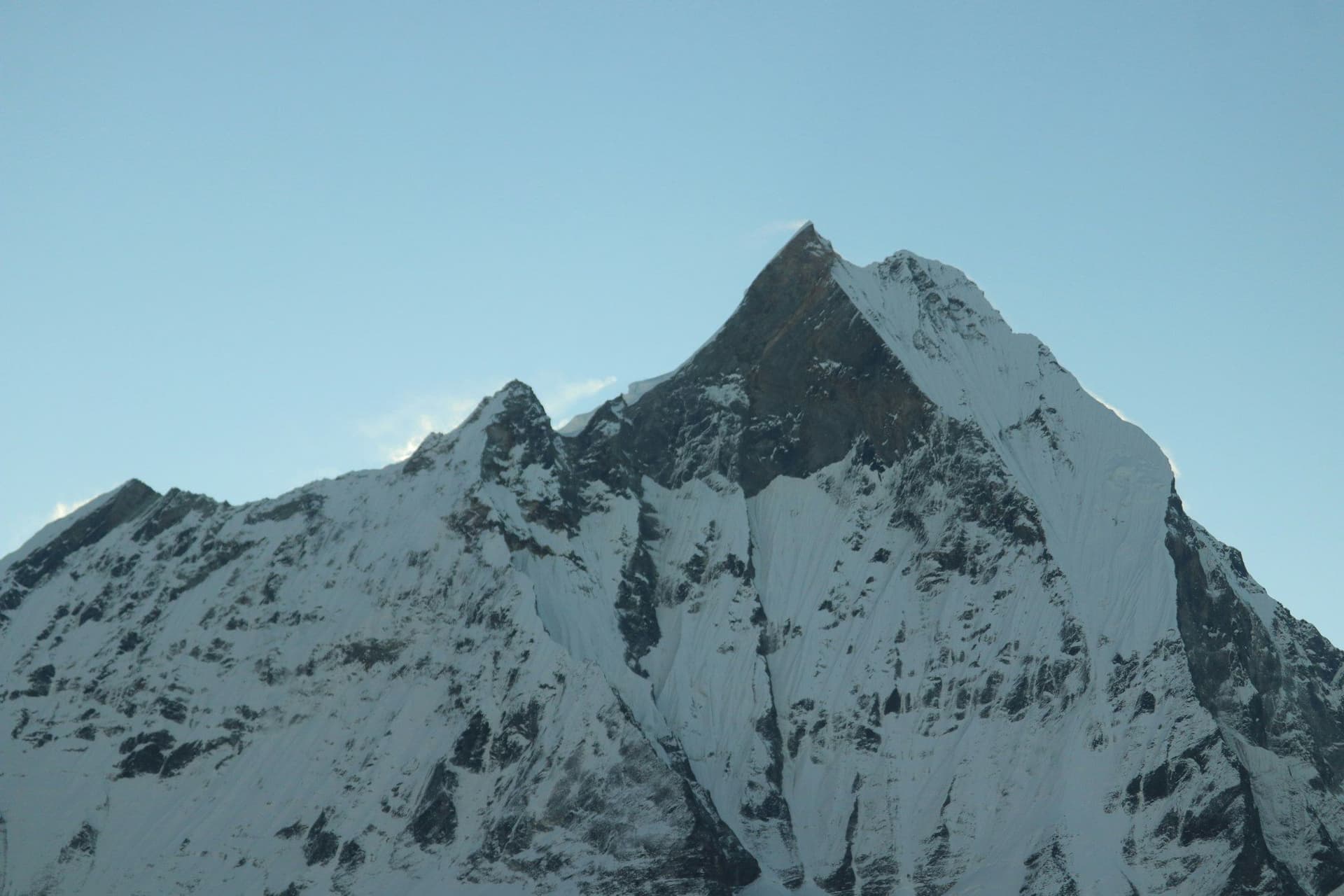
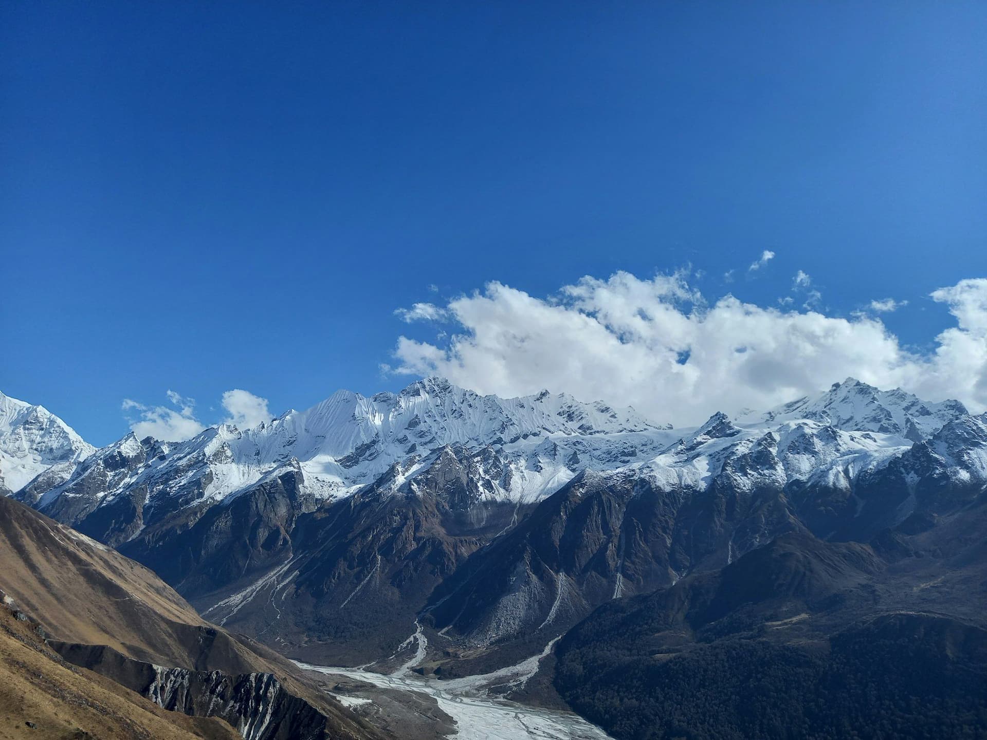
From Kyanjin Gompa two acclimatisation summits are within reach: Kyanjin Ri at 4,773 m for a half-day, and Tserko Ri at 4,984 m for a long one. Both put you level with the glaciers coming off Langtang Lirung.
Add the Gosaikunda lakes — a chain of sacred alpine tarns crossed by the Laurebina La at 4,610 m — and the region becomes a ten- to twelve-day loop finishing at Dhunche or Sundarijal.
Trekking
Treks in the Langtang Region
Locations
Places in this region
Map
The region
Frequently asked questions
Is Langtang safe after the 2015 earthquake?
How long is the Langtang Valley trek?
About the author
Maya Thapa
Senior trekking writer
Maya has walked more than 4,000 kilometres of Nepal's trail network, from the teahouse highways of the Khumbu to the restricted valleys along the Tibetan border. She writes the route guides and day-by-day itineraries, and returns to most trails every second season to re-check lodge availability, water points and trail reroutes after monsoon damage.
Writes about: Nepal trekking · High-altitude routes · Teahouse logistics