Overview
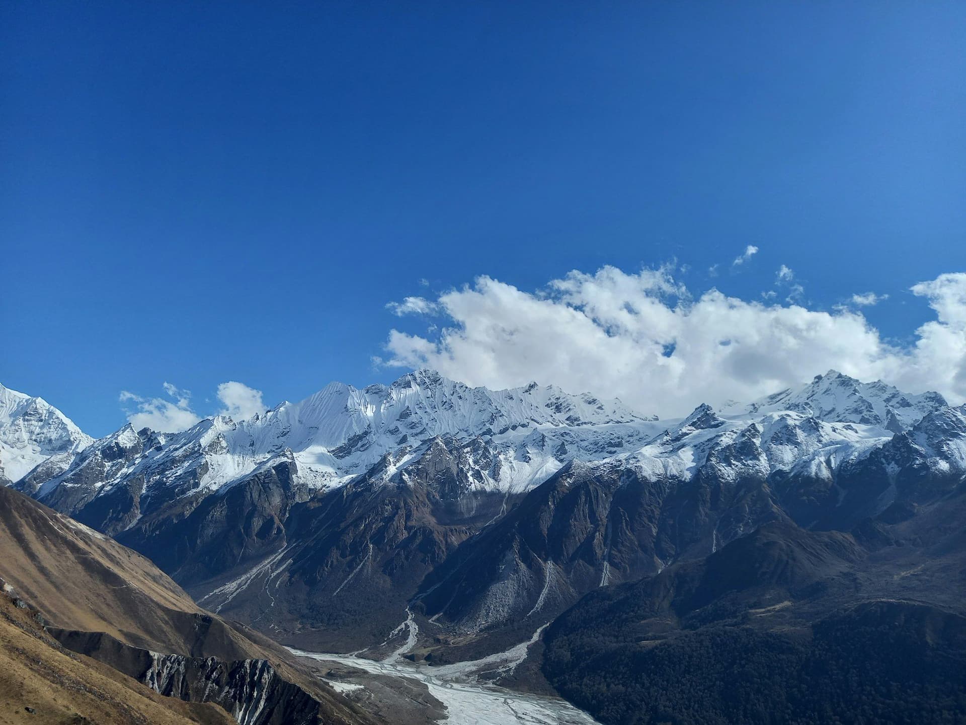
Langtang is the valley that Kathmandu forgets it has. Seven hours by road gets you to the trailhead; four walking days gets you to a monastery at 3,870 metres with glaciers coming off Langtang Lirung directly above. There is no flight to miss and no acclimatisation crisis waiting at the top.
The 2015 earthquake hit this valley harder than anywhere else in Nepal: a landslide buried Langtang village and most of the people in it. The valley has rebuilt, and walking here is a direct and useful way to support that.
Route
From Syabrubesi the trail climbs through bamboo and oak forest in a steep gorge — this is the least interesting section and it takes a day and a half. Above Ghoda Tabela the valley widens into open yak pasture and the mountains appear. Kyanjin Gompa at the head of the valley is the base for the two viewpoint climbs that make the trek: Kyanjin Ri (4,773 m) and Tserko Ri (4,984 m).
Extending the trek
Add the Gosaikunda lakes by crossing the Laurebina La at 4,610 m on the return, finishing at Dhunche or continuing to Sundarijal on the edge of the Kathmandu Valley. That turns seven days into eleven or twelve and roughly doubles the trek's variety.
Day by day
The 7 days itinerary
Distances, walking times, altitudes and accommodation for every stage — stored as structured data, not written into the prose.
- Day 1
Kathmandu to Syabrubesi
Kathmandu (1,400 m) → Syabrubesi (1,460 m)
- Walking
- 6–7 hours by road
- Altitude
- 1,460 m
- Sleep
- Teahouse, Syabrubesi
- Meals
- Dinner
A long, rough drive north through Trishuli and Dhunche. The road improves every year and is still not good.
- Day 2
Syabrubesi to Lama Hotel
Syabrubesi (1,460 m) → Lama Hotel (2,470 m)
- Distance
- 11 km
- Walking
- 6 hours
- Altitude
- 1,460 m → 2,470 m
- Elevation
- +1010 m
- Sleep
- Teahouse, Lama Hotel
- Meals
- Breakfast, lunch, dinner
- Langtang Khola gorge
- Langur monkeys
- Bamboo and oak forest
- Day 3
Lama Hotel to Langtang village
Lama Hotel (2,470 m) → Langtang (3,430 m)
- Distance
- 12 km
- Walking
- 6 hours
- Altitude
- 2,470 m → 3,430 m
- Elevation
- +960 m
- Sleep
- Teahouse, Langtang
- Meals
- Breakfast, lunch, dinner
The valley opens out above Ghoda Tabela. The path crosses the debris field that buried the old village in April 2015 — there is a memorial, and the new settlement stands a little further from the slope.
- 2015 landslide memorial
- Rebuilt village
- Langtang Lirung
- Day 4
Langtang to Kyanjin Gompa
Langtang (3,430 m) → Kyanjin Gompa (3,870 m)
- Distance
- 7 km
- Walking
- 3 hours
- Altitude
- 3,430 m → 3,870 m
- Elevation
- +440 m
- Sleep
- Teahouse, Kyanjin Gompa
- Meals
- Breakfast, lunch, dinner
- Mani walls
- Yak cheese factory
- Glacier views
- Day 5
Tserko Ri and the head of the valley
Kyanjin Gompa → Tserko Ri (4,984 m) → Kyanjin Gompa
- Distance
- 10 km
- Walking
- 7 hours
- Altitude
- 3,870 m → 3,870 m
- Elevation
- +1114 m / −1114 m
- Sleep
- Teahouse, Kyanjin Gompa
- Meals
- Breakfast, lunch, dinner
A pre-dawn start and 1,100 metres of ascent for the finest panorama in the valley. Kyanjin Ri at 4,773 m is the shorter alternative and still very good.
- Highest point of the trek
- Langshisa Ri
- Tibetan border peaks
- Day 6
Kyanjin Gompa to Lama Hotel
Kyanjin Gompa (3,870 m) → Lama Hotel (2,470 m)
- Distance
- 19 km
- Walking
- 6 hours
- Altitude
- 3,870 m → 2,470 m
- Elevation
- −1400 m
- Sleep
- Teahouse, Lama Hotel
- Meals
- Breakfast, lunch, dinner
- Day 7
Lama Hotel to Syabrubesi, drive to Kathmandu
Lama Hotel (2,470 m) → Syabrubesi (1,460 m) → Kathmandu
- Distance
- 11 km
- Walking
- 4 hours walking, 7 hours driving
- Altitude
- 2,470 m → 1,400 m
- Elevation
- −1010 m
- Sleep
- Hotel, Kathmandu
- Meals
- Breakfast, lunch
Route map
Where the trail goes
Route line, start and end points, and every overnight stop. Locations are shared entities — the same record powers the destination and itinerary pages.
Frequently asked questions
Is Langtang a good first Himalayan trek?
Kyanjin Ri or Tserko Ri?
About the author
Maya Thapa
Senior trekking writer
Maya has walked more than 4,000 kilometres of Nepal's trail network, from the teahouse highways of the Khumbu to the restricted valleys along the Tibetan border. She writes the route guides and day-by-day itineraries, and returns to most trails every second season to re-check lodge availability, water points and trail reroutes after monsoon damage.
Writes about: Nepal trekking · High-altitude routes · Teahouse logistics