Overview
Helambu is the closest real trek to Kathmandu. A forty-five-minute taxi to Sundarijal and you are walking; seven days later a bus brings you back. No domestic flight to be cancelled, no restricted permit, and nothing above 3,650 metres.
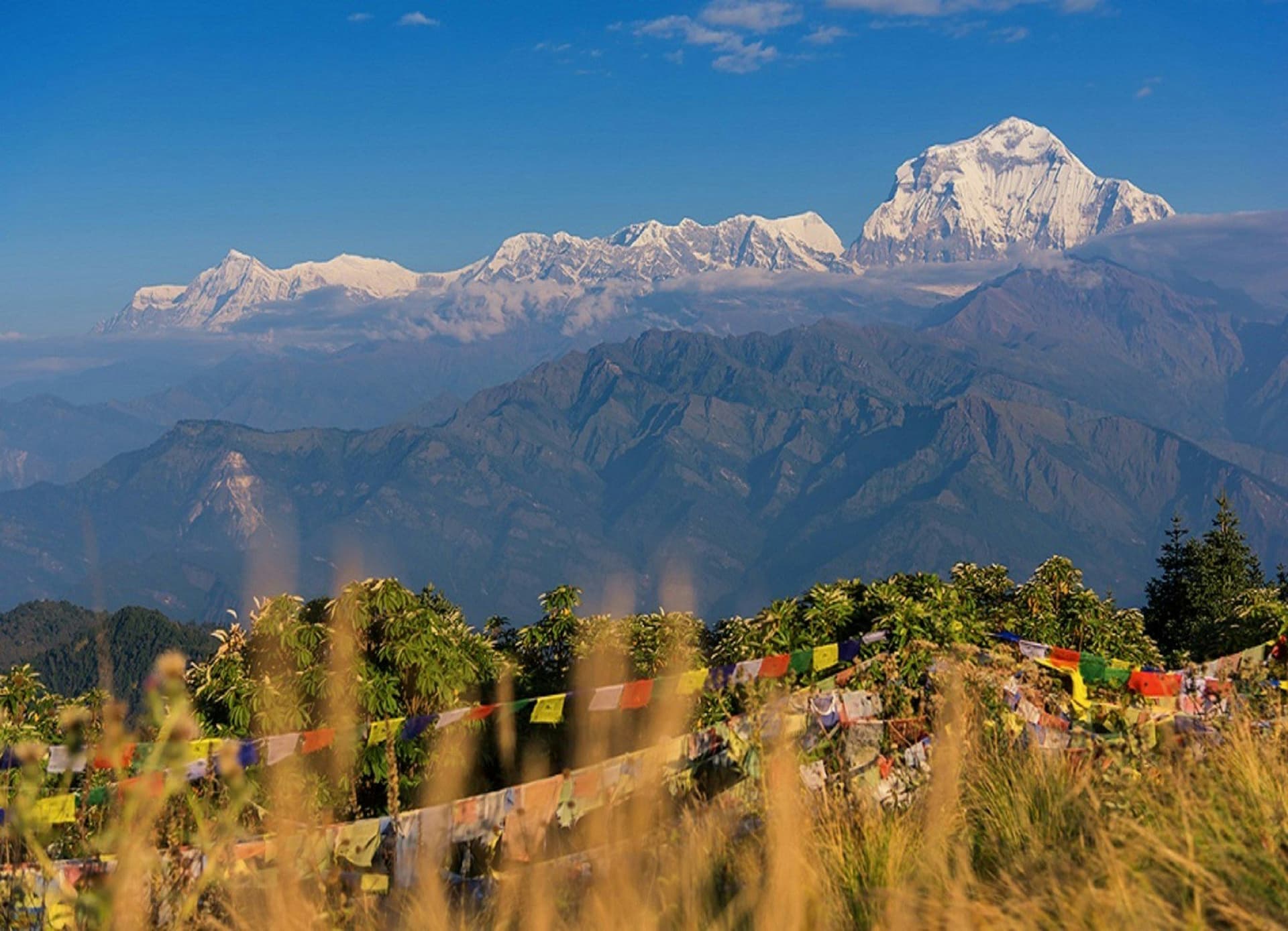
It is Sherpa country — the Hyolmo people, related to but distinct from the Khumbu Sherpas — with gompas, apple orchards and some of the best rhododendron forest in Nepal.
The route
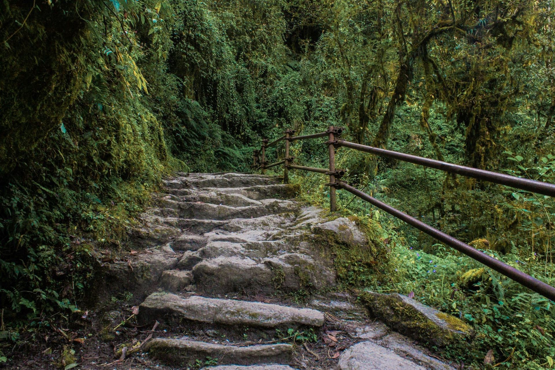
Up through Shivapuri National Park to Chisapani on the valley rim, then north along a ridge through Tamang and Sherpa villages to Kutumsang and up to Tharepati at 3,650 m — the high point, and the section where the rhododendron is continuous in April.
Then a steep drop to the Melamchi river and up to Tarke Ghyang, the largest Sherpa village in Helambu, with an eighteenth-century gompa. Out along the ridge through Sermathang and down to Melamchi Pul.
Why it suits a first trek
Altitude is not a factor. Lodges are simple but continuous. The trailhead is a taxi ride from your hotel and the exit is a bus. If your first Himalayan trek goes wrong, you are half a day from Kathmandu rather than a cancelled flight away.
The earthquake
Helambu was close to the 2015 epicentre and was badly hit. Villages have rebuilt, lodges are open, and several gompas are still being restored. Money spent here goes somewhere it is needed.
Extending it
The Gosainkunda route links Tharepati north to the Langtang valley over the Laurebina La at 4,610 m, taking in the sacred lakes. That makes a fortnight and a considerably harder trek with a real altitude profile.
Best season
March to May — late March into April for the rhododendron — and October to December. Winter is walkable to Kutumsang but Tharepati gets snow and lodges close.
Day by day
The 7 days itinerary
Distances, walking times, altitudes and accommodation for every stage — stored as structured data, not written into the prose.
- Day 1
Kathmandu to Chisapani
Sundarijal (1,350 m) → Mulkharka → Chisapani (2,215 m)
- Distance
- 12 km
- Walking
- 5 hours
- Altitude
- 1,350 m → 2,215 m
- Elevation
- +865 m
- Sleep
- Lodge, Chisapani
- Meals
- Lunch, dinner
Forty-five minutes by taxi from Thamel to the trailhead. Very few Himalayan treks start this quickly.
- Shivapuri National Park forest
- First Himalayan skyline
- Day 2
Chisapani to Kutumsang
Chisapani (2,215 m) → Pati Bhanjyang → Kutumsang (2,470 m)
- Distance
- 14 km
- Walking
- 6 hours
- Altitude
- 2,215 m → 2,470 m
- Elevation
- +700 m / −445 m
- Sleep
- Lodge, Kutumsang
- Meals
- Breakfast, lunch, dinner
- Tamang villages
- Ridge walking with Langtang ahead
- Day 3
Kutumsang to Tharepati
Kutumsang (2,470 m) → Magen Goth → Tharepati (3,650 m)
- Distance
- 14 km
- Walking
- 6 hours
- Altitude
- 2,470 m → 3,650 m
- Elevation
- +1180 m
- Sleep
- Lodge, Tharepati
- Meals
- Breakfast, lunch, dinner
The climbing day, and the best of the trek. In April the rhododendron through this section is continuous.
- Rhododendron forest
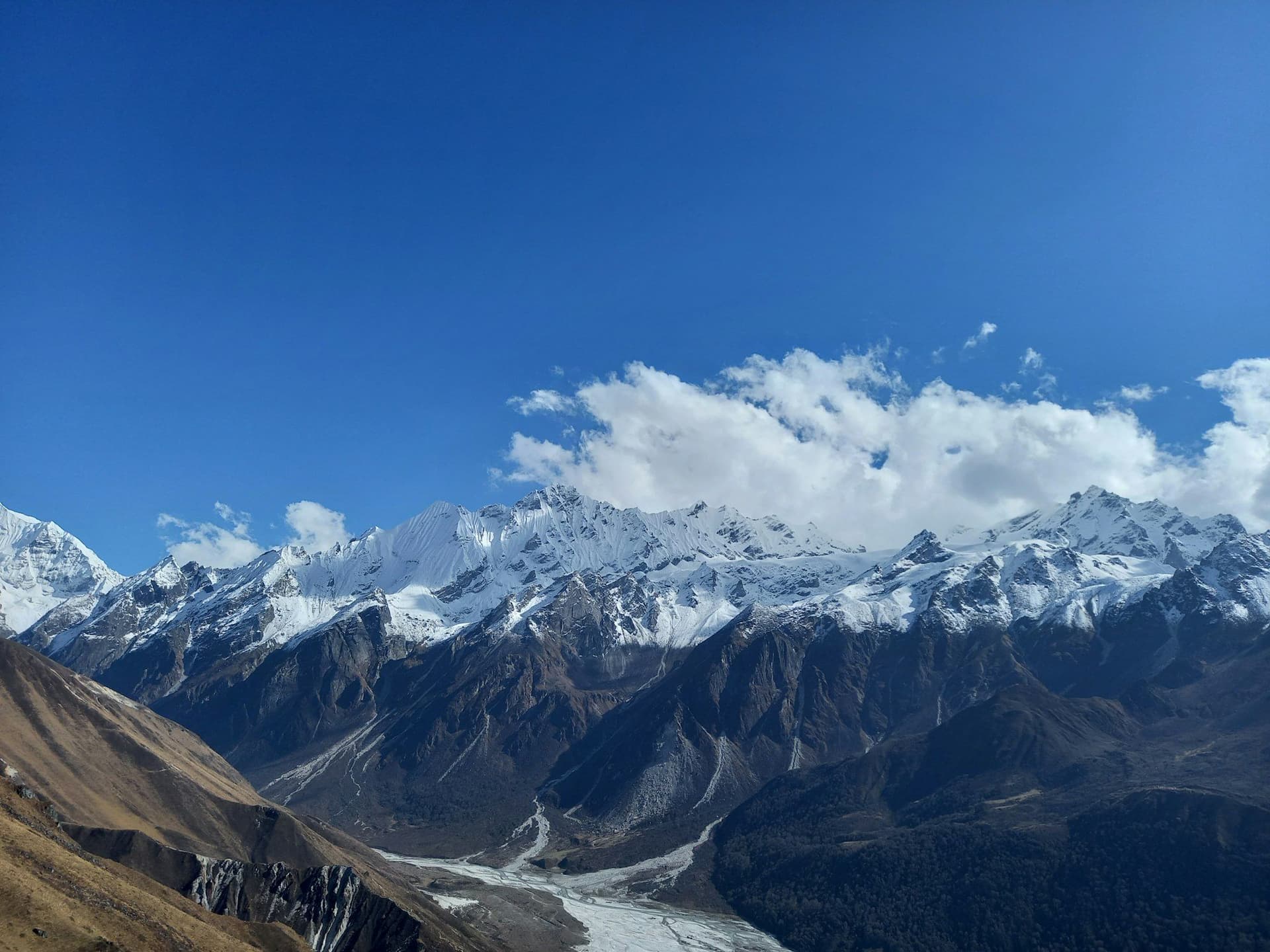
- Langtang Lirung
- Dorje Lakpa
- Highest point of the trek
- Day 4
Tharepati to Tarke Ghyang
Tharepati (3,650 m) → Malemchigaon → Tarke Ghyang (2,600 m)
- Distance
- 15 km
- Walking
- 7 hours
- Altitude
- 3,650 m → 2,600 m
- Elevation
- +450 m / −1500 m
- Sleep
- Lodge, Tarke Ghyang
- Meals
- Breakfast, lunch, dinner
A steep drop to the Melamchi river and back up the other side. Tarke Ghyang's gompa dates from the eighteenth century.
- Malemchigaon gompa
- Tarke Ghyang
- the largest Sherpa village in Helambu
- Day 5
Tarke Ghyang to Sermathang
Tarke Ghyang (2,600 m) → Sermathang (2,590 m)
- Distance
- 12 km
- Walking
- 5 hours
- Altitude
- 2,600 m → 2,590 m
- Elevation
- +300 m / −310 m
- Sleep
- Lodge, Sermathang
- Meals
- Breakfast, lunch, dinner
- Ridge-top walking
- Apple orchards
- Jugal Himal
- Day 6
Sermathang to Melamchi Pul
Sermathang (2,590 m) → Melamchi Pul (850 m)
- Distance
- 14 km
- Walking
- 5 hours
- Altitude
- 2,590 m → 850 m
- Elevation
- −1740 m
- Sleep
- Guesthouse, Melamchi Pul
- Meals
- Breakfast, lunch, dinner
- Day 7
Melamchi Pul to Kathmandu
Melamchi Pul (850 m) → Kathmandu (1,400 m)
- Walking
- 4 hours by road
- Altitude
- 850 m → 1,400 m
- Meals
- Breakfast
Route map
Where the trail goes
Route line, start and end points, and every overnight stop. Locations are shared entities — the same record powers the destination and itinerary pages.
Frequently asked questions
Is Helambu good for a first trek?
How does it compare with Poon Hill?
Did the 2015 earthquake affect it?
Can it be combined with Langtang?
When is the rhododendron?
About the author
Maya Thapa
Senior trekking writer
Maya has walked more than 4,000 kilometres of Nepal's trail network, from the teahouse highways of the Khumbu to the restricted valleys along the Tibetan border. She writes the route guides and day-by-day itineraries, and returns to most trails every second season to re-check lodge availability, water points and trail reroutes after monsoon damage.
Writes about: Nepal trekking · High-altitude routes · Teahouse logistics