Overview
Two days along the eastern rim of the Kathmandu Valley, from the sunrise viewpoint at Nagarkot down to the Newar town of Dhulikhel, by way of Namobuddha. Twenty-two kilometres, no permit, no altitude, and the Himalaya in view for most of it.
This is the walk to do on a spare weekend, or in the days before a bigger trek while you wait for a flight.
The route
Nagarkot at 2,175 metres is the highest point and where you want to be at dawn. The ridge runs south through pine and terraced farmland to Nala, a small Newar settlement with a Bhagwati temple.
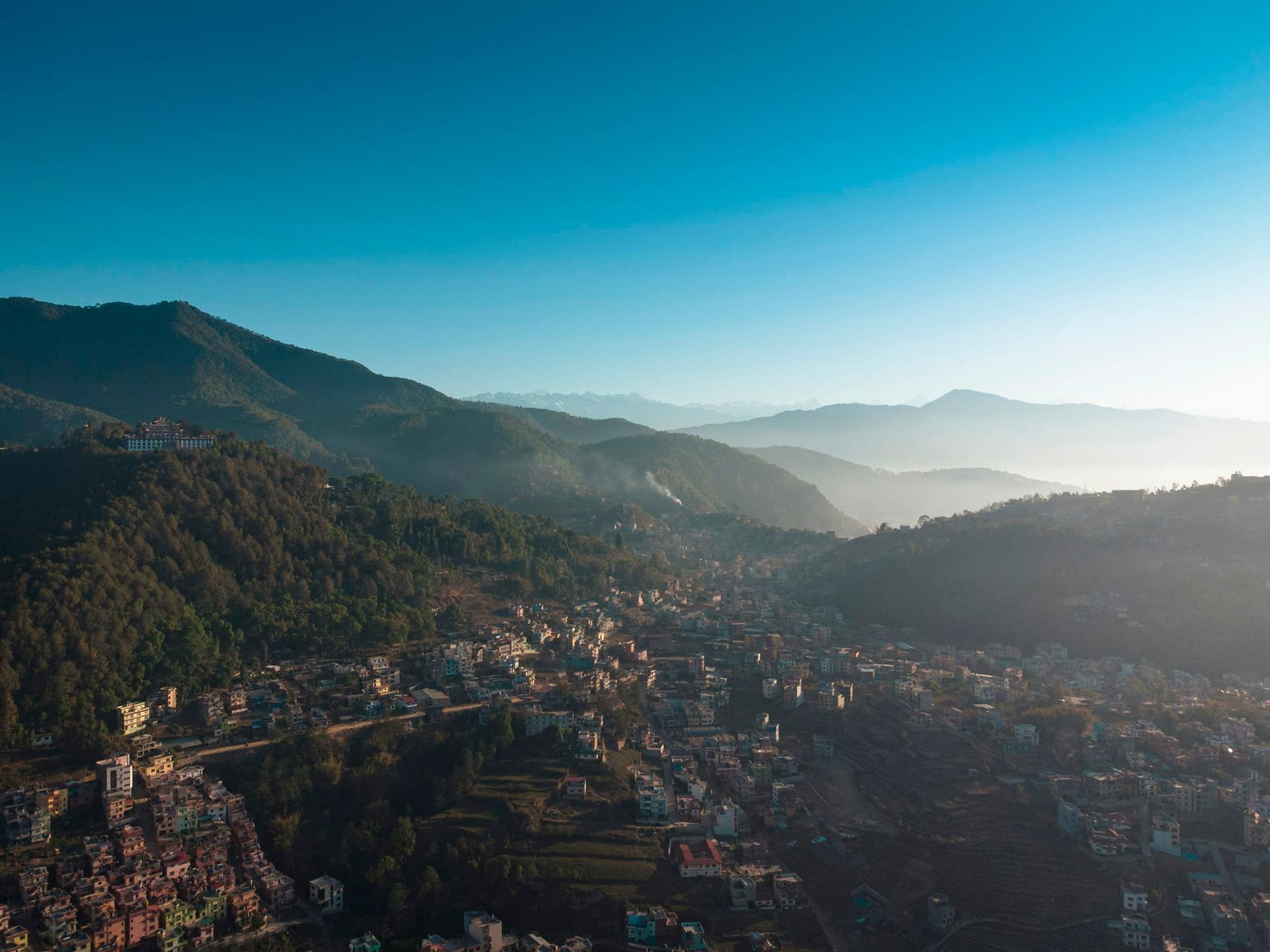
The second day climbs gently to Namobuddha, one of the three principal Buddhist sites in the valley, where the Thrangu Tashi Yangtse monastery sits above the stupa. From there it drops into Dhulikhel — a Newar town with an old quarter that has had far less restoration, and far fewer visitors, than Bhaktapur.
What you can see
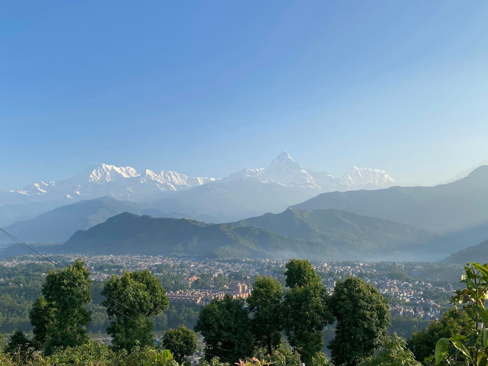
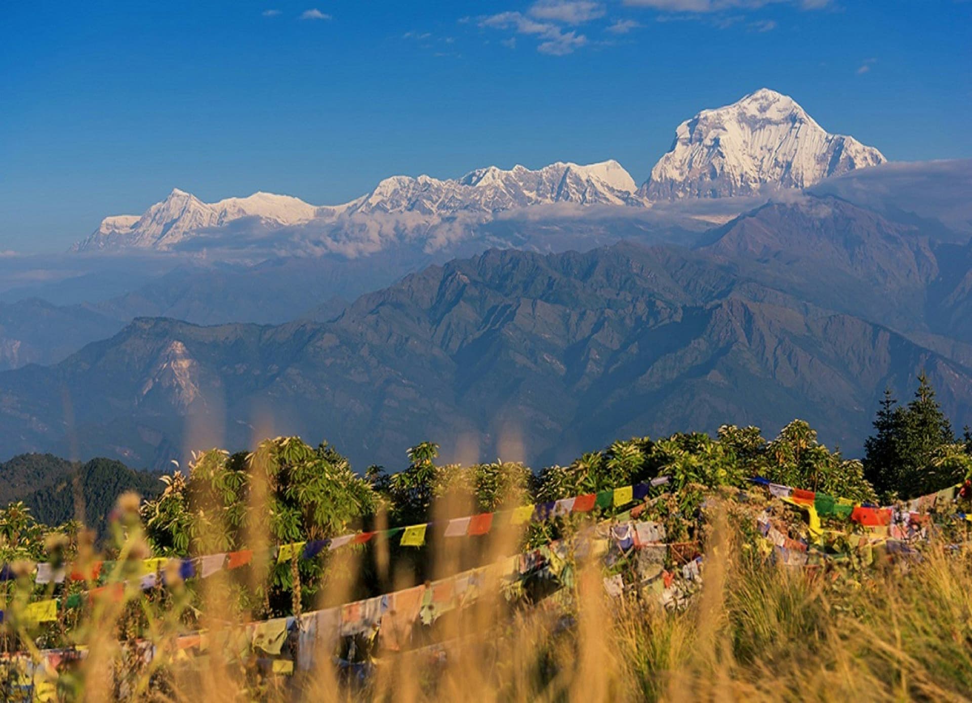
The reason anyone goes to Nagarkot is the skyline: on a clear morning, Ganesh Himal, Langtang, Dorje Lakpa and Gaurishankar in a long arc, and on the best days a very distant Everest.
That view is entirely a function of the air. October through February it is reliable and the winter mornings are the sharpest of the year. Through the monsoon there is nothing to see but cloud, and the walk becomes a green one.
What it costs
Between USD 60 and 220 for two days, and the range is almost all accommodation. Nagarkot runs from basic guesthouses to resorts charging valley-view rates, and Dhulikhel is the same. The walking costs nothing — there is no permit and no entry fee anywhere on the route.
Day by day
The 2 days itinerary
Distances, walking times, altitudes and accommodation for every stage — stored as structured data, not written into the prose.
- Day 1
Kathmandu to Nagarkot, and the ridge to Nala
Kathmandu (1,400 m) → Nagarkot (2,175 m) → Nala (1,530 m)
- Distance
- 12 km
- Walking
- 4 hours after the drive
- Altitude
- 1,400 m → 1,530 m
- Elevation
- −645 m
- Sleep
- Hotel, Nagarkot, or guesthouse at Nala
- Meals
- Lunch, dinner
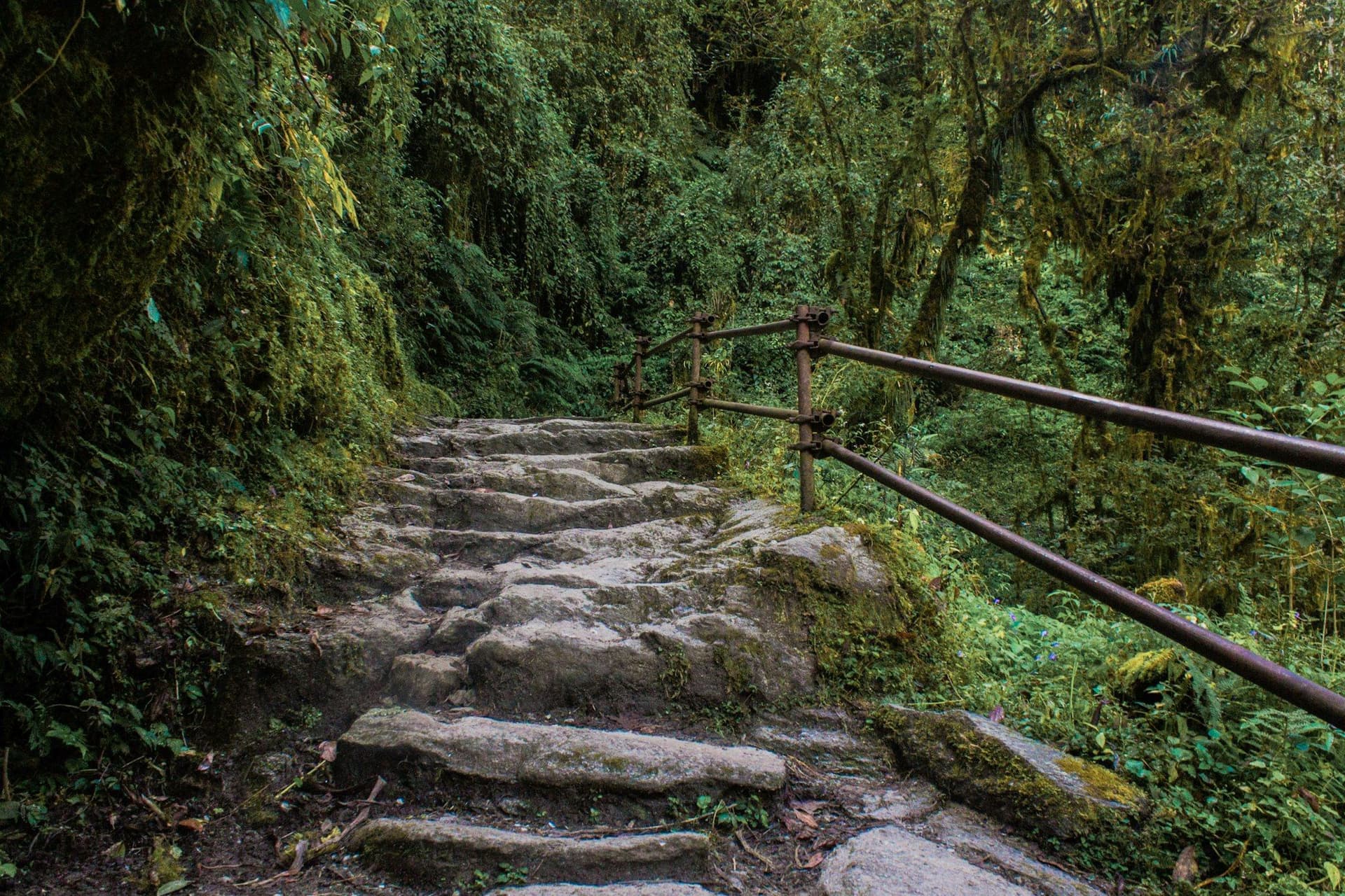
Drive up in the afternoon and stay at Nagarkot for the sunrise, or start walking the same day and take the ridge south. The path runs through pine and terraced hillside with the valley on one side and the Himalaya on the other — on a clear winter morning that skyline runs from Ganesh Himal round to Everest.
- The Nagarkot ridge
- Pine and rhododendron forest
- Nala's Bhagwati temple
- Day 2
Nala to Namobuddha and Dhulikhel
Nala (1,530 m) → Namobuddha (1,750 m) → Dhulikhel (1,440 m)
- Distance
- 10 km
- Walking
- 4 hours
- Altitude
- 1,530 m → 1,440 m
- Elevation
- +300 m / −400 m
- Sleep
- Hotel, Dhulikhel
- Meals
- Breakfast, lunch
Namobuddha is one of the three great Buddhist pilgrimage sites of the valley, marking where a prince is said to have given his body to a starving tigress. The monastery above it will usually feed and sometimes house walkers. Dhulikhel below has a Newar old town that is markedly less restored — and less visited — than Bhaktapur.
- Thrangu Tashi Yangtse monastery at Namobuddha
- Dhulikhel's Newar old town
Route map
Where the trail goes
Route line, start and end points, and every overnight stop. Locations are shared entities — the same record powers the destination and itinerary pages.
Frequently asked questions
Is this really a trek?
Can it be done in one day?
What can you actually see?
When should you go?
Do you need a guide?
About the author
Maya Thapa
Senior trekking writer
Maya has walked more than 4,000 kilometres of Nepal's trail network, from the teahouse highways of the Khumbu to the restricted valleys along the Tibetan border. She writes the route guides and day-by-day itineraries, and returns to most trails every second season to re-check lodge availability, water points and trail reroutes after monsoon damage.
Writes about: Nepal trekking · High-altitude routes · Teahouse logistics