Overview
Panchase is a ridge south-west of Pokhara that ends in a 2,517-metre summit with a shrine on it and a view in every direction. Four days, no altitude to speak of, and a fraction of the traffic that Poon Hill takes an hour up the road.
The summit
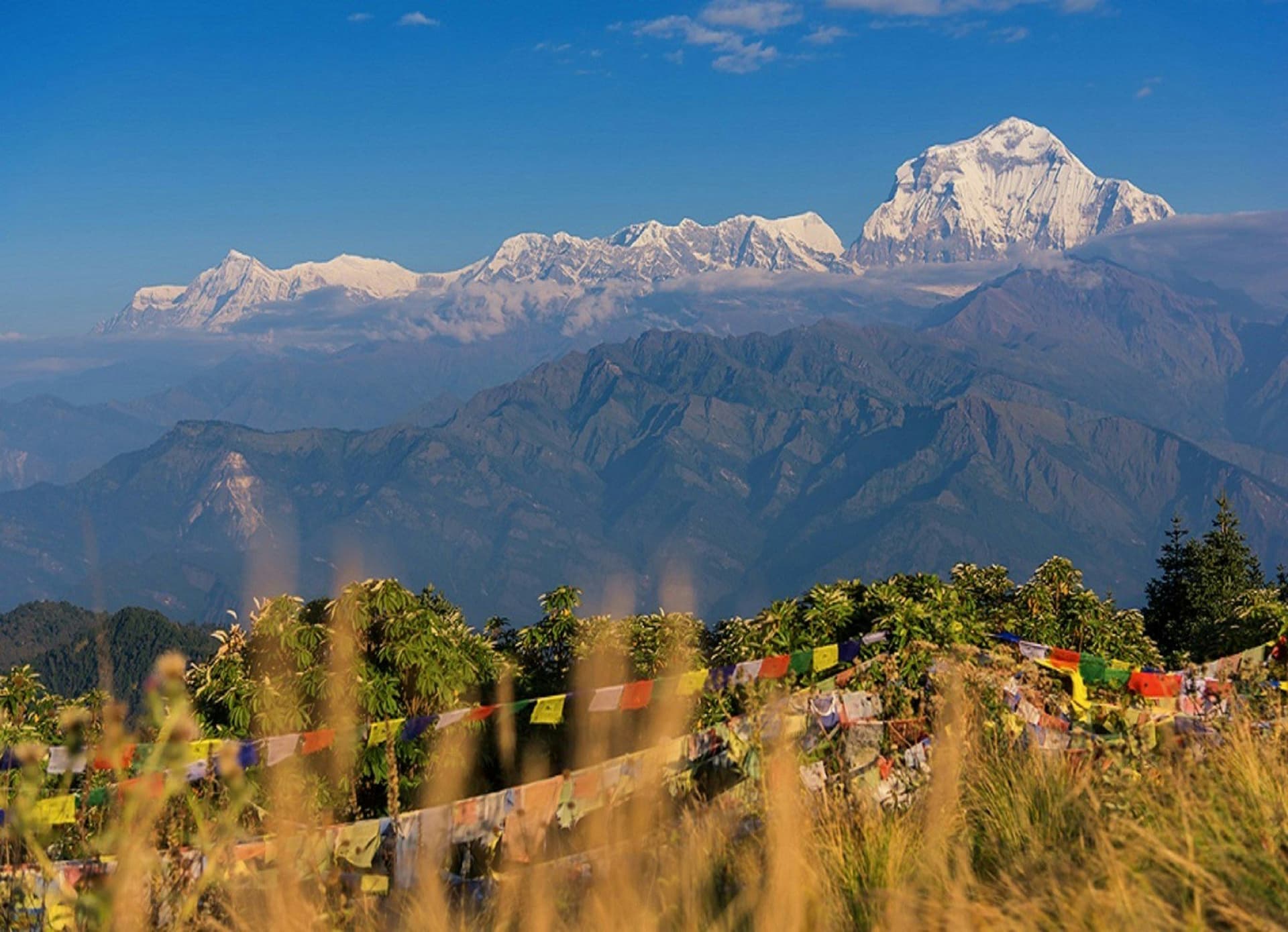
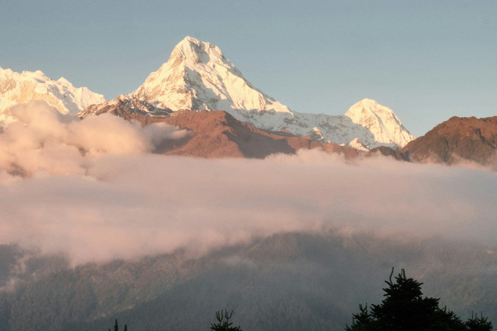
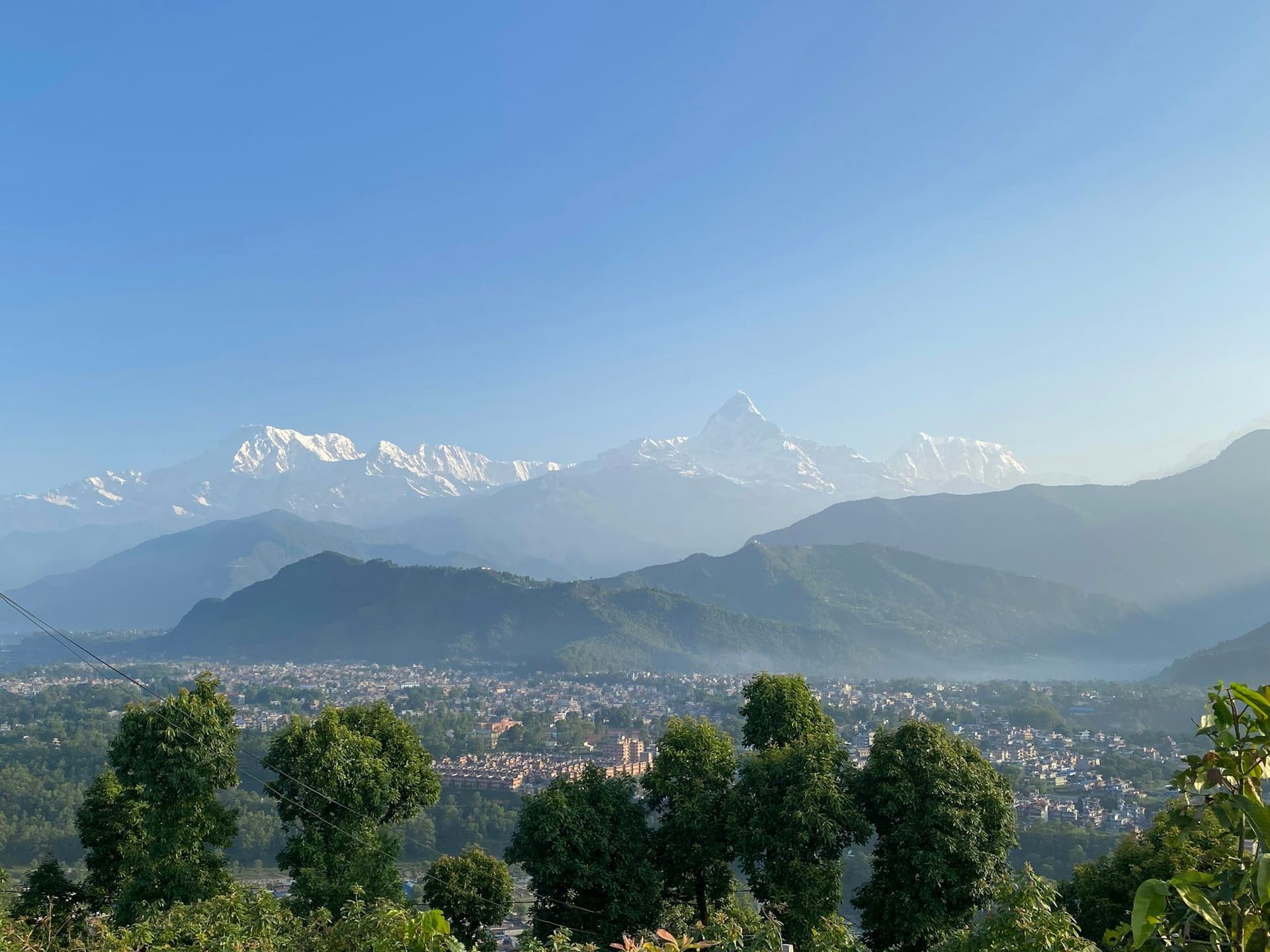
The panorama runs from Dhaulagiri in the west through Annapurna South, Annapurna I, Machhapuchhre, Annapurna II, III and IV and Lamjung Himal to Manaslu in the east — and behind you, the whole Pokhara valley with Phewa Lake in it.
There is a small temple on the top. Get there before the cloud does.
The forest
Panchase Protected Forest holds over a hundred orchid species alongside rhododendron, oak and laurel, and is recognised as a biodiversity hotspot within the conservation area. In March and April the orchids and rhododendron flower together.
Why it is empty
It leads nowhere. Poon Hill and Mardi Himal are gateways into the Annapurna massif; Panchase is a self-contained ridge that ends where it ends. Walkers heading for something bigger pass it by, which is the whole appeal.
Practicalities
Lodges are basic and there are homestays in several villages. Bring cash — there is nothing above Pokhara.
Best season
February to May for the orchids and rhododendron, September to December for the clearest mountain views from the summit. The monsoon is green and leech- ridden and the mountains are behind cloud.
Day by day
The 4 days itinerary
Distances, walking times, altitudes and accommodation for every stage — stored as structured data, not written into the prose.
- Day 1
Pokhara to Bhadaure
Phedi (1,130 m) → Dhampus → Bhadaure (1,600 m)
- Distance
- 13 km
- Walking
- 5 hours
- Altitude
- 1,130 m → 1,600 m
- Elevation
- +700 m / −230 m
- Sleep
- Homestay, Bhadaure
- Meals
- Lunch, dinner
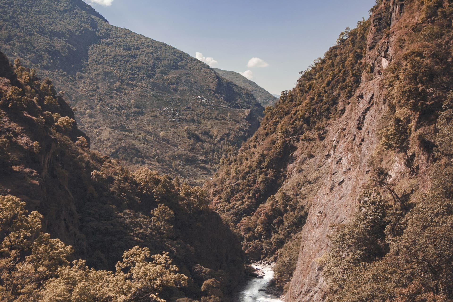
- Terraced farmland
- Phewa Lake below
- Day 2
Bhadaure to Panchase Bhanjyang
Bhadaure (1,600 m) → Panchase Bhanjyang (2,030 m)
- Distance
- 10 km
- Walking
- 5 hours
- Altitude
- 1,600 m → 2,030 m
- Elevation
- +550 m / −120 m
- Sleep
- Lodge, Panchase Bhanjyang
- Meals
- Breakfast, lunch, dinner
Panchase Protected Forest holds well over a hundred orchid species and is one of the richest small forests in the Annapurna region.
- Orchid forest
- Rhododendron
- Gurung and Magar villages
- Day 3
Panchase summit, descend to Bhumdi
Panchase Bhanjyang (2,030 m) → Panchase Danda (2,517 m) → Bhumdi (1,520 m)
- Distance
- 14 km
- Walking
- 6 hours
- Altitude
- 2,030 m → 1,520 m
- Elevation
- +490 m / −1000 m
- Sleep
- Lodge, Bhumdi
- Meals
- Breakfast, lunch, dinner
A pre-dawn climb to the summit shrine. The panorama runs from Dhaulagiri through Annapurna and Machhapuchhre to Manaslu, with the whole Pokhara valley and Phewa Lake laid out beneath.
- Panchase summit at dawn
- Dhaulagiri to Manaslu in one sweep
- Phewa Lake and the Pokhara valley below
- Day 4
Bhumdi to Beni Ghat and Pokhara
Bhumdi (1,520 m) → Beni Ghat (850 m) → Pokhara (822 m)
- Distance
- 8 km
- Walking
- 3 hours walking, 1 hour by road
- Altitude
- 1,520 m → 822 m
- Elevation
- −670 m
- Meals
- Breakfast
Route map
Where the trail goes
Route line, start and end points, and every overnight stop. Locations are shared entities — the same record powers the destination and itinerary pages.
Frequently asked questions
What can you see from the summit?
How hard is it?
What is special about the forest?
Why do so few people walk it?
Are there lodges?
About the author
Maya Thapa
Senior trekking writer
Maya has walked more than 4,000 kilometres of Nepal's trail network, from the teahouse highways of the Khumbu to the restricted valleys along the Tibetan border. She writes the route guides and day-by-day itineraries, and returns to most trails every second season to re-check lodge availability, water points and trail reroutes after monsoon damage.
Writes about: Nepal trekking · High-altitude routes · Teahouse logistics