Overview
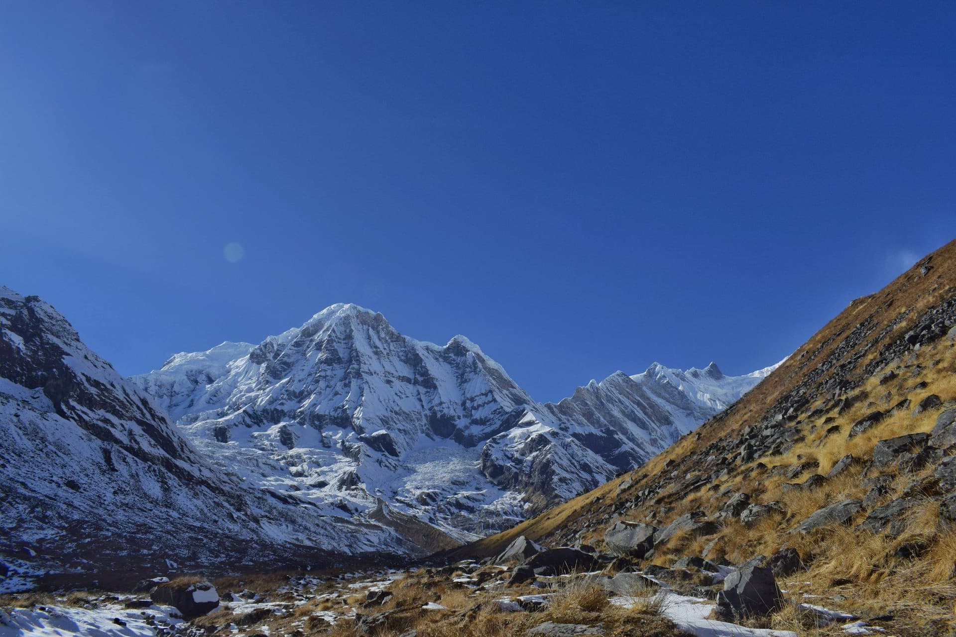
Most treks show you mountains from outside. This one walks into the middle of them. The Annapurna Sanctuary is a glacial basin at 4,130 metres, reached through a gorge so narrow that for three days you see almost nothing — and then it opens into a flat amphitheatre with eleven peaks above 6,000 m standing round it and the south face of Annapurna I, three vertical kilometres of it, at the head.
It is ten or eleven days from Pokhara, needs no pass and no mountain flight, and costs about half what Everest Base Camp does.
Route
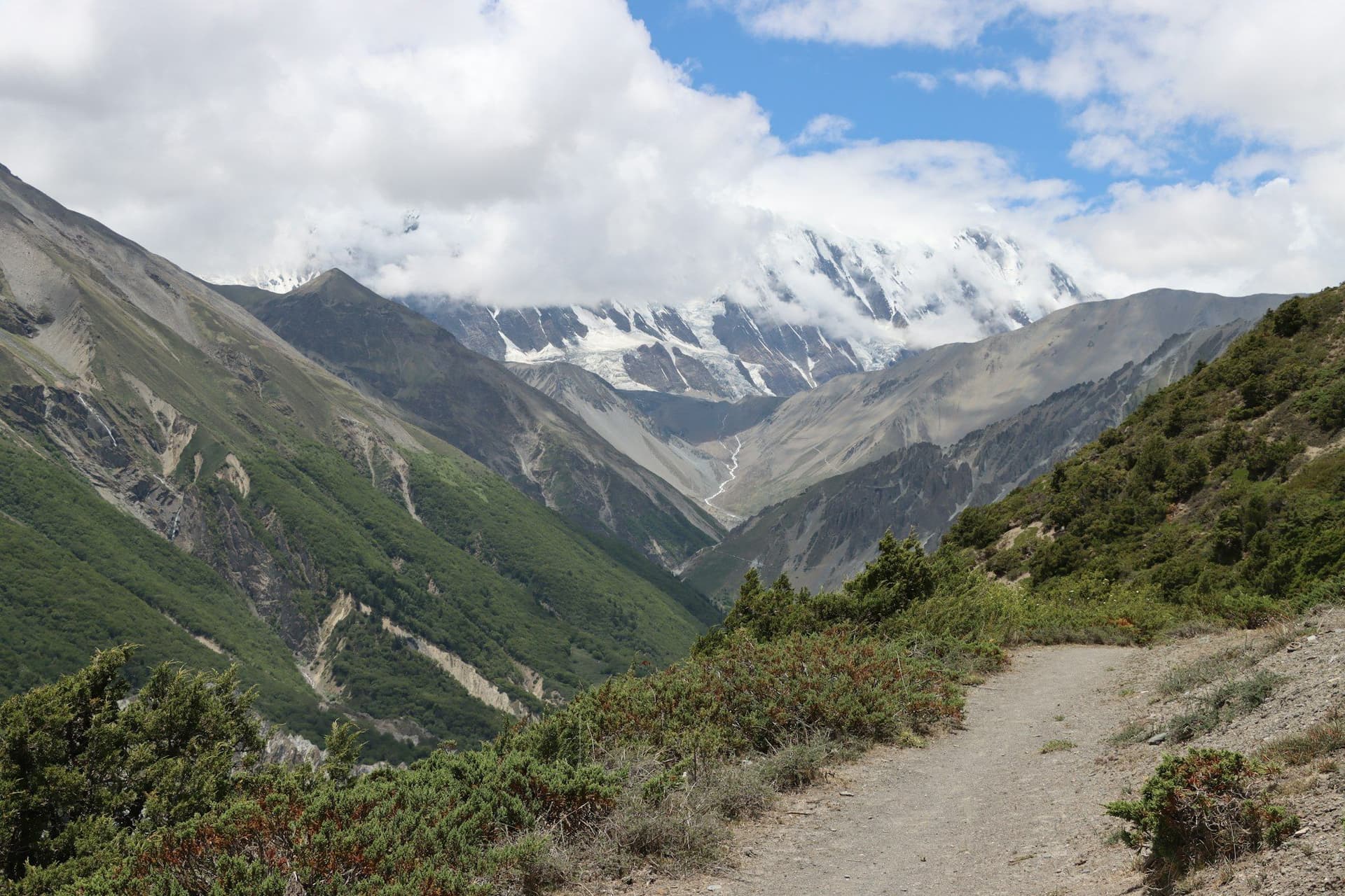
From Nayapul the trail climbs through the Gurung villages of Ghandruk and Chhomrong, the gateway to the Sanctuary and the last proper settlement. From there it drops to the Modi Khola and follows the gorge north through Bamboo, Dovan and Deurali — a corridor of bamboo and rhododendron with walls on both sides.
Above Deurali the valley opens at Machhapuchhre Base Camp, and an hour further on is Annapurna Base Camp itself.
The stairs
Worth knowing before you go. The Annapurna foothills are terraced and the trails are stone staircases — the descent from Chhomrong to the river is around 2,500 steps, and you climb them again on the way back. Trekking poles matter more here than on higher, gentler routes.
Avalanche risk
The single genuine hazard. The section between Deurali and Machhapuchhre Base Camp passes beneath avalanche slopes, and people have died there. It is a seasonal, weather-dependent risk rather than a constant one: avoid the route after heavy snow, be cautious in late winter and early spring, and walk with a guide who will turn you round.
Best season
October to early December is the most stable, with clear air and cold, sharp nights in the Sanctuary. March to May brings the rhododendron out below 3,000 m and is the other good window. The monsoon closes the gorge with cloud and leeches; deep winter carries the avalanche risk.
Day by day
The 11 days itinerary
Distances, walking times, altitudes and accommodation for every stage — stored as structured data, not written into the prose.
- Day 1
Pokhara to Ghandruk
Nayapul (1,070 m) → Ghandruk (1,940 m)
- Distance
- 11 km
- Walking
- 5 hours
- Altitude
- 1,070 m → 1,940 m
- Elevation
- +870 m
- Sleep
- Teahouse, Ghandruk
- Meals
- Breakfast, lunch, dinner
- Gurung stone village
- Annapurna South and Hiunchuli
- Gurung Museum
- Day 2
Ghandruk to Chhomrong
Ghandruk (1,940 m) → Kimrong Danda → Chhomrong (2,170 m)
- Distance
- 10 km
- Walking
- 5–6 hours
- Altitude
- 1,940 m → 2,170 m
- Elevation
- +900 m / −670 m
- Sleep
- Teahouse, Chhomrong
- Meals
- Breakfast, lunch, dinner
More climbing than the net gain suggests — the trail drops into the Kimrong gorge and back out. Chhomrong is the last real village and the last place to buy anything at valley prices.
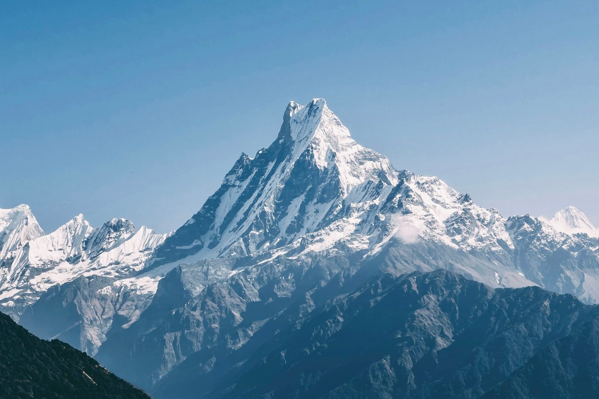
- Machhapuchhre head-on
- The gateway village to the Sanctuary
- Day 3
Chhomrong to Bamboo
Chhomrong (2,170 m) → Sinuwa → Bamboo (2,310 m)
- Distance
- 9 km
- Walking
- 5 hours
- Altitude
- 2,170 m → 2,310 m
- Elevation
- +700 m / −560 m
- Sleep
- Teahouse, Bamboo
- Meals
- Breakfast, lunch, dinner
Down 2,500 stone steps to the river, then up the other side. The valley narrows here and the mountains disappear behind the walls until Deurali.
- The Chhomrong stairs
- Bamboo and rhododendron forest
- Day 4
Bamboo to Deurali
Bamboo (2,310 m) → Dovan → Himalaya → Deurali (3,230 m)
- Distance
- 10 km
- Walking
- 5–6 hours
- Altitude
- 2,310 m → 3,230 m
- Elevation
- +920 m
- Sleep
- Teahouse, Deurali
- Meals
- Breakfast, lunch, dinner
- Hinku Cave
- Tree line
- Gorge narrows to a slot
- Day 5
Deurali to Annapurna Base Camp
Deurali (3,230 m) → Machhapuchhre Base Camp (3,700 m) → ABC (4,130 m)
- Distance
- 9 km
- Walking
- 5–6 hours
- Altitude
- 3,230 m → 4,130 m
- Elevation
- +900 m
- Sleep
- Teahouse, Annapurna Base Camp
- Meals
- Breakfast, lunch, dinner
The best hour in Nepali trekking. The gorge you have walked for three days opens without warning into a flat glacial basin ringed by eleven peaks above 6,000 m, with the south face of Annapurna I filling the head of it.
- The gorge opens into the Sanctuary
- Annapurna I south face
- Sunset on the amphitheatre
- Day 6
Sunrise at ABC, descend to Bamboo
Annapurna Base Camp (4,130 m) → Deurali → Bamboo (2,310 m)
- Distance
- 16 km
- Walking
- 7 hours
- Altitude
- 4,130 m → 2,310 m
- Elevation
- −1820 m
- Sleep
- Teahouse, Bamboo
- Meals
- Breakfast, lunch, dinner
Be outside before sunrise — the amphitheatre lights up one peak at a time and it is over in twenty minutes. Then a very long descent.
- First light on Annapurna I
- Long descent
- Day 7
Bamboo to Jhinu Danda
Bamboo (2,310 m) → Chhomrong → Jhinu Danda (1,780 m)
- Distance
- 12 km
- Walking
- 6 hours
- Altitude
- 2,310 m → 1,780 m
- Elevation
- +560 m / −1090 m
- Sleep
- Teahouse, Jhinu Danda
- Meals
- Breakfast, lunch, dinner
Twenty minutes below the lodges are hot springs on the riverbank. After six days of walking they are worth the descent on their own.
- Natural hot springs by the Modi Khola
- Day 8
Jhinu Danda to Pokhara
Jhinu Danda (1,780 m) → Siwai → Pokhara
- Distance
- 7 km
- Walking
- 3 hours walking, 2 hours by road
- Altitude
- 1,780 m → 822 m
- Elevation
- −960 m
- Sleep
- Hotel, Pokhara
- Meals
- Breakfast, lunch
Route map
Where the trail goes
Route line, start and end points, and every overnight stop. Locations are shared entities — the same record powers the destination and itinerary pages.
Frequently asked questions
How difficult is Annapurna Base Camp?
Is there avalanche risk?
Annapurna Base Camp or the Annapurna Circuit?
Can it be done without a guide?
What is the difficulty level of the Annapurna Base Camp trek?
Are Crampons Necessary for the Annapurna Base Camp Trek?
Annapurna Base Camp Trek in May: Monsoon Sneaking In or a Hidden Gem?
Annapurna Base Camp Trek in July: Monsoon Magic or Muddy Mayhem?
About the author
Maya Thapa
Senior trekking writer
Maya has walked more than 4,000 kilometres of Nepal's trail network, from the teahouse highways of the Khumbu to the restricted valleys along the Tibetan border. She writes the route guides and day-by-day itineraries, and returns to most trails every second season to re-check lodge availability, water points and trail reroutes after monsoon damage.
Writes about: Nepal trekking · High-altitude routes · Teahouse logistics