Overview
Everest Base Camp is fourteen days and takes you to 5,545 metres. Not everyone has fourteen days, and not everyone should go to 5,545 metres.
This is the short version: Lukla, Namche, Tengboche and back, with a maximum of 3,880 m at the Everest View Hotel and no night above 3,867 m. Seven days, and you see the mountain.
What you get
The Lukla landing, which is an experience in itself. The Hillary bridge above the Dudh Kosi confluence. Namche Bazaar, the Khumbu's trading town, in its natural amphitheatre.
The acclimatisation day above Namche is the high point in both senses: Syangboche and the terrace of the Everest View Hotel at 3,880 m, with Everest, Lhotse and Ama Dablam in front of you, and Khumjung with its monastery on the way back.
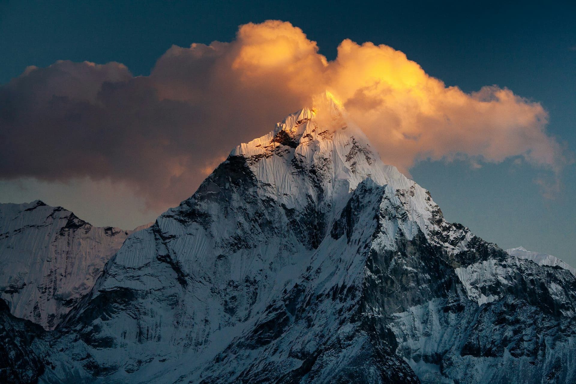
Then the contour trail to Tengboche, with Ama Dablam ahead the whole way, and the monastery in its meadow — the spiritual centre of the Khumbu, rebuilt after a fire in 1989.
What you miss
The Khumbu Glacier, Gorak Shep, Kala Patthar and Base Camp itself. Also the week of acclimatisation days, the cold nights above 4,500 m, and the real chance of coming down with a headache that ends your trek.
That is the trade, and for a lot of people it is the right one.
The flight still applies
Lukla is Lukla. Flights go from Kathmandu in the low season and from Ramechhap, four hours by road, during October, November, April and May. Keep two spare days at the end regardless of how short the walking is.
Best season
October to December for the clearest air and March to May for rhododendron below Namche. Winter is walkable at these altitudes with cold nights. The monsoon puts the mountains behind cloud.
Day by day
The 7 days itinerary
Distances, walking times, altitudes and accommodation for every stage — stored as structured data, not written into the prose.
- Day 1
Fly to Lukla, walk to Phakding
Kathmandu (1,400 m) → Lukla (2,860 m) → Phakding (2,610 m)
- Distance
- 8 km
- Walking
- 3 hours
- Altitude
- 2,860 m → 2,610 m
- Elevation
- −250 m
- Sleep
- Lodge, Phakding
- Meals
- Lunch, dinner
- The Lukla landing
- Dudh Kosi valley
- Day 2
Phakding to Namche Bazaar
Phakding (2,610 m) → Monjo → Namche Bazaar (3,440 m)
- Distance
- 11 km
- Walking
- 6 hours
- Altitude
- 2,610 m → 3,440 m
- Elevation
- +830 m
- Sleep
- Lodge, Namche Bazaar
- Meals
- Breakfast, lunch, dinner
- Hillary suspension bridge
- First Everest view on the climb
- Sagarmatha park gate
- Day 3
Namche — acclimatisation and the Everest View Hotel
Namche (3,440 m) → Syangboche → Everest View Hotel (3,880 m) → Namche
- Distance
- 6 km
- Walking
- 4 hours
- Altitude
- 3,440 m → 3,440 m
- Elevation
- +440 m / −440 m
- Sleep
- Lodge, Namche Bazaar
- Meals
- Breakfast, lunch, dinner
The classic acclimatisation walk, and the trek's high point at 3,880 m. Breakfast on the hotel terrace with Everest in view is the single image most people come for.
- Everest
- Lhotse and Ama Dablam from the terrace
- Khumjung and its monastery
- Sherpa Culture Museum
- Day 4
Namche to Tengboche
Namche (3,440 m) → Phunki Thanga → Tengboche (3,867 m)
- Distance
- 10 km
- Walking
- 5 hours
- Altitude
- 3,440 m → 3,867 m
- Elevation
- +700 m / −270 m
- Sleep
- Lodge, Tengboche
- Meals
- Breakfast, lunch, dinner
The contour trail from Namche with Ama Dablam ahead the whole way, a drop to the river, then 600 metres up through rhododendron to the monastery.
- Tengboche monastery
- Ama Dablam
- Everest and Lhotse from the meadow
- Day 5
Tengboche to Namche
Tengboche (3,867 m) → Namche Bazaar (3,440 m)
- Distance
- 10 km
- Walking
- 4 hours
- Altitude
- 3,867 m → 3,440 m
- Elevation
- +270 m / −700 m
- Sleep
- Lodge, Namche Bazaar
- Meals
- Breakfast, lunch, dinner
Attend the morning puja at the monastery before leaving if the timing works — visitors are welcome to sit quietly at the back.
- Day 6
Namche to Lukla
Namche (3,440 m) → Phakding → Lukla (2,860 m)
- Distance
- 19 km
- Walking
- 7 hours
- Altitude
- 3,440 m → 2,860 m
- Elevation
- +500 m / −1080 m
- Sleep
- Lodge, Lukla
- Meals
- Breakfast, lunch, dinner
- Day 7
Lukla to Kathmandu
Lukla (2,860 m) → Kathmandu (1,400 m)
- Walking
- 35 minutes by air
- Altitude
- 2,860 m → 1,400 m
- Meals
- Breakfast
Route map
Where the trail goes
Route line, start and end points, and every overnight stop. Locations are shared entities — the same record powers the destination and itinerary pages.
Frequently asked questions
Do you actually see Everest?
How does the altitude compare with Base Camp?
Who is this for?
Is the Lukla flight still the risk?
Can you extend it?
About the author
Maya Thapa
Senior trekking writer
Maya has walked more than 4,000 kilometres of Nepal's trail network, from the teahouse highways of the Khumbu to the restricted valleys along the Tibetan border. She writes the route guides and day-by-day itineraries, and returns to most trails every second season to re-check lodge availability, water points and trail reroutes after monsoon damage.
Writes about: Nepal trekking · High-altitude routes · Teahouse logistics