Overview
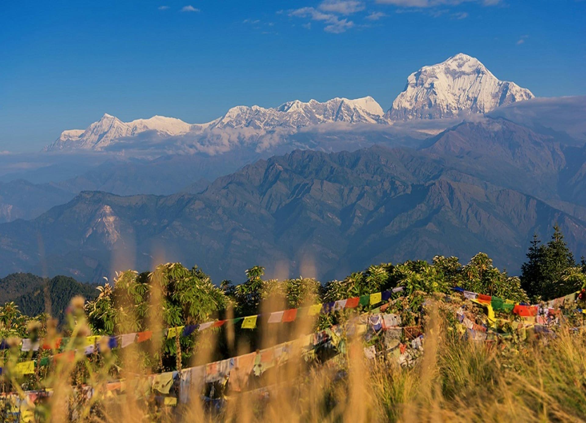
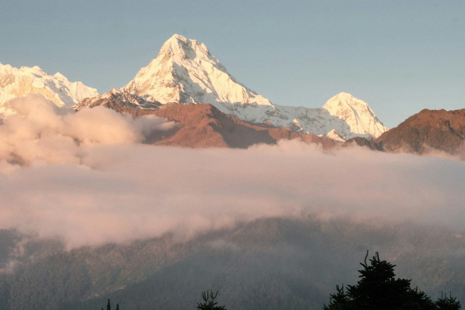
Khopra Danda is a ridge on the western side of the Annapurna Sanctuary, at 3,660 metres, looking directly across at the south faces of Annapurna South and Annapurna I with Dhaulagiri behind you over the Kali Gandaki.
It is four hundred and fifty metres higher than Poon Hill, a better view, and carries a small fraction of the traffic.
The community lodges
The lodges at Khopra Danda, Bayeli and Swanta are owned by the villages rather than by families or operators, with the profits funding local schools and health posts. It started as a development scheme in the 2000s and it works — the beds are simple and dormitory-style up high, and the money stays.
Muldai
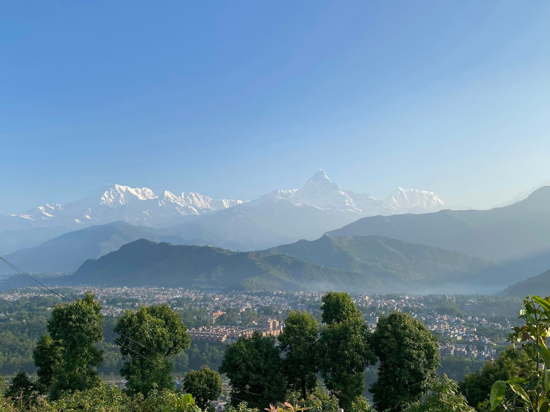
On the way up, Muldai at 3,637 m gives exactly the panorama people queue for at Poon Hill — Dhaulagiri, Annapurna South, Machhapuchhre, Nilgiri — from a hundred metres higher, and usually with nobody else on the top.
Khayer Lake
A thousand metres above the ridge at 4,660 m, a sacred lake beneath Annapurna I that draws pilgrims at Janai Purnima in August. The day out and back is the hardest of the trek, and worth it in clear weather.
Where it fits
Harder than Poon Hill, easier than Annapurna Base Camp, quieter than either, and on the same mountain. If you have done Poon Hill and want the next thing without committing to the Sanctuary or the Circuit, this is it.
Best season
March to May for rhododendron in the forest below Dobato, and October to December for the clearest air on the ridge. Winter closes the high lodges and Khayer Lake freezes.
Day by day
The 9 days itinerary
Distances, walking times, altitudes and accommodation for every stage — stored as structured data, not written into the prose.
- Day 1
Pokhara to Ghandruk
Pokhara (822 m) → Nayapul (1,070 m) → Ghandruk (1,940 m)
- Distance
- 10 km
- Walking
- 5 hours
- Altitude
- 1,070 m → 1,940 m
- Elevation
- +870 m
- Sleep
- Lodge, Ghandruk
- Meals
- Lunch, dinner
- Gurung village
- Annapurna South and Machhapuchhre
- Day 2
Ghandruk to Tadapani
Ghandruk (1,940 m) → Tadapani (2,630 m)
- Distance
- 8 km
- Walking
- 4 hours
- Altitude
- 1,940 m → 2,630 m
- Elevation
- +690 m
- Sleep
- Lodge, Tadapani
- Meals
- Breakfast, lunch, dinner
- Rhododendron forest
- Machhapuchhre at close range
- Day 3
Tadapani to Dobato
Tadapani (2,630 m) → Isharu → Dobato (3,420 m)
- Distance
- 10 km
- Walking
- 6 hours
- Altitude
- 2,630 m → 3,420 m
- Elevation
- +790 m
- Sleep
- Lodge, Dobato
- Meals
- Breakfast, lunch, dinner
The trail leaves the Poon Hill circuit here, and the traffic stops with it.
- Day 4
Muldai viewpoint, on to Bayeli
Dobato (3,420 m) → Muldai (3,637 m) → Bayeli Kharka (3,450 m)
- Distance
- 10 km
- Walking
- 6 hours
- Altitude
- 3,420 m → 3,450 m
- Elevation
- +450 m / −420 m
- Sleep
- Community lodge, Bayeli
- Meals
- Breakfast, lunch, dinner
Muldai at dawn gives the panorama Poon Hill is famous for, from a hundred metres higher and usually with nobody else on it.
- Muldai sunrise
- Dhaulagiri
- Annapurna South
- Machhapuchhre
- Nilgiri
- Day 5
Bayeli to Khopra Danda
Bayeli Kharka (3,450 m) → Khopra Danda (3,660 m)
- Distance
- 8 km
- Walking
- 4 hours
- Altitude
- 3,450 m → 3,660 m
- Elevation
- +400 m / −190 m
- Sleep
- Community lodge, Khopra Danda
- Meals
- Breakfast, lunch, dinner
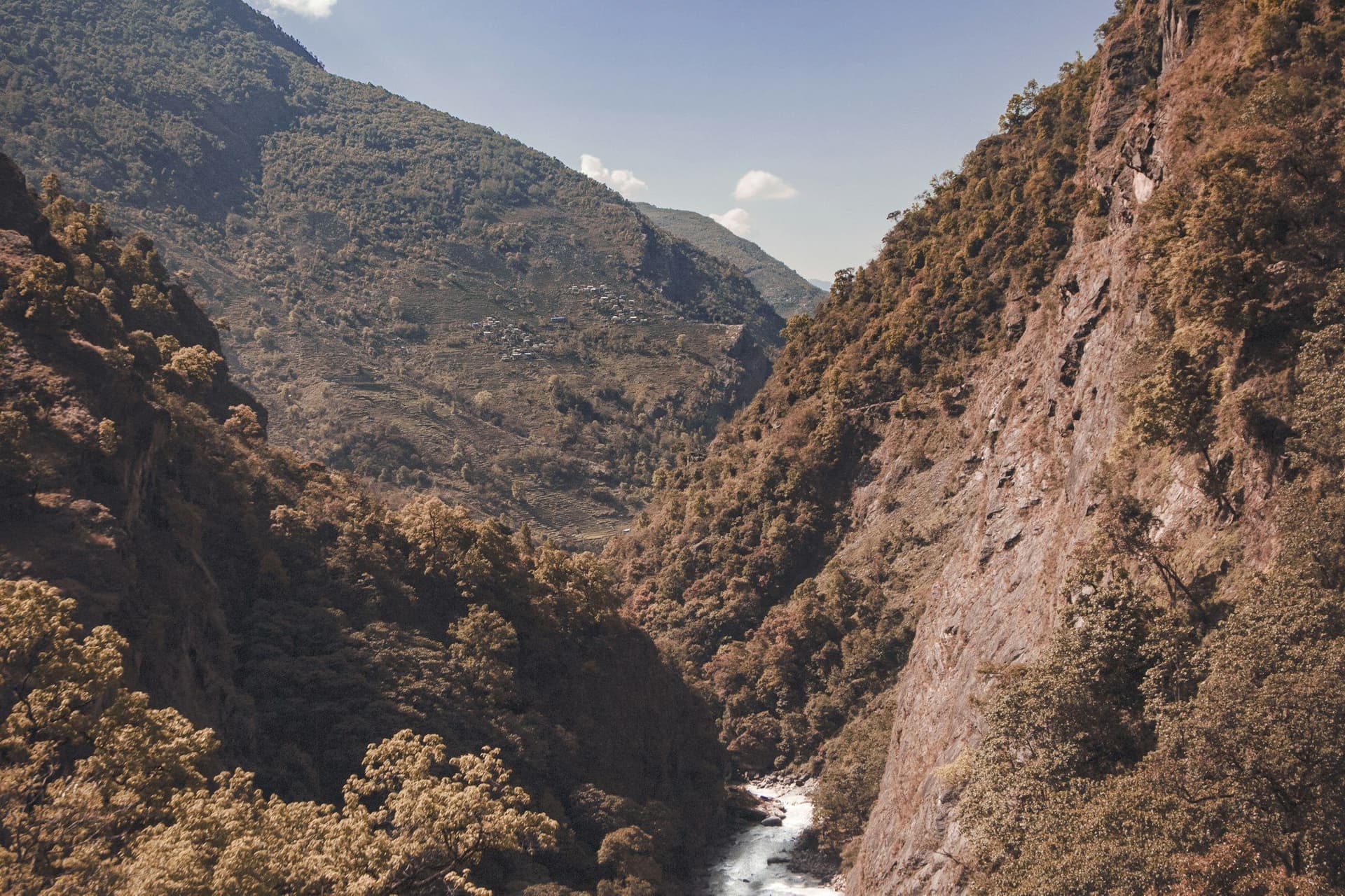
The ridge itself. Annapurna South and Annapurna I are directly across the valley, and Dhaulagiri stands to the west over the gorge.
- Annapurna South face at close range
- Dhaulagiri across the Kali Gandaki
- Day 6
Khayer Lake and back
Khopra Danda (3,660 m) → Khayer Lake (4,660 m) → Khopra Danda
- Distance
- 16 km
- Walking
- 8 hours
- Altitude
- 3,660 m → 3,660 m
- Elevation
- +1000 m / −1000 m
- Sleep
- Community lodge, Khopra Danda
- Meals
- Breakfast, lunch, dinner
A long, hard out-and-back — a thousand metres up and down in a day. The lake is sacred and draws pilgrims at Janai Purnima in August.
- Khayer Lake at 4
- 660 m
- Annapurna I close above
- Blue sheep
- Day 7
Khopra Danda to Swanta
Khopra Danda (3,660 m) → Swanta (2,270 m)
- Distance
- 12 km
- Walking
- 6 hours
- Altitude
- 3,660 m → 2,270 m
- Elevation
- −1390 m
- Sleep
- Community lodge, Swanta
- Meals
- Breakfast, lunch, dinner
- Swanta's community cheese project
- Day 8
Swanta to Tatopani
Swanta (2,270 m) → Ghara → Tatopani (1,190 m)
- Distance
- 14 km
- Walking
- 6 hours
- Altitude
- 2,270 m → 1,190 m
- Elevation
- −1080 m
- Sleep
- Lodge, Tatopani
- Meals
- Breakfast, lunch, dinner
- Hot springs at Tatopani
- Day 9
Tatopani to Pokhara
Tatopani (1,190 m) → Beni → Pokhara (822 m)
- Walking
- 4 hours by road
- Altitude
- 1,190 m → 822 m
- Meals
- Breakfast
Route map
Where the trail goes
Route line, start and end points, and every overnight stop. Locations are shared entities — the same record powers the destination and itinerary pages.
Frequently asked questions
What are the community lodges?
How does it compare with Poon Hill?
Is Khayer Lake worth the day?
How hard is it overall?
Can it be combined with Annapurna Base Camp?
About the author
Maya Thapa
Senior trekking writer
Maya has walked more than 4,000 kilometres of Nepal's trail network, from the teahouse highways of the Khumbu to the restricted valleys along the Tibetan border. She writes the route guides and day-by-day itineraries, and returns to most trails every second season to re-check lodge availability, water points and trail reroutes after monsoon damage.
Writes about: Nepal trekking · High-altitude routes · Teahouse logistics